Estimated Value: $73,000 - $143,000
3
Beds
1
Bath
864
Sq Ft
$130/Sq Ft
Est. Value
About This Home
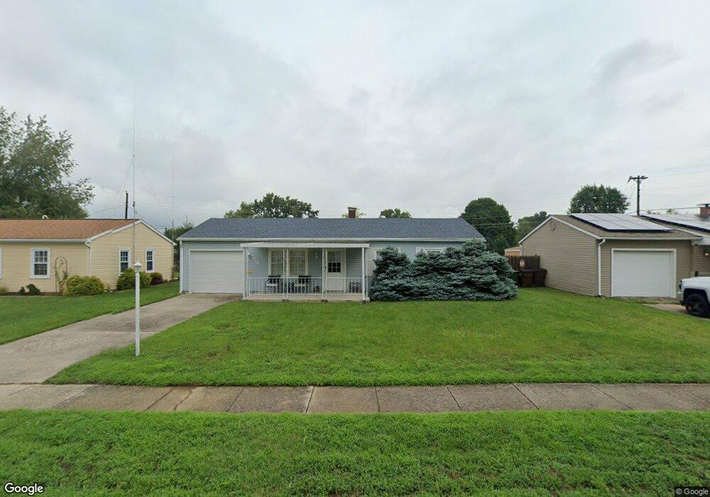
This home is located at 1649 June Dr, Xenia, OH 45385 and is currently estimated at $112,197, approximately $129 per square foot. 1649 June Dr is a home located in Greene County with nearby schools including Xenia High School, Summit Academy Community School for Alternative Learners - Xenia, and Legacy Christian Academy.
Ownership History
Date
Name
Owned For
Owner Type
Purchase Details
Closed on
Sep 14, 2012
Sold by
Bank Of New York
Bought by
Bowen Michael C
Current Estimated Value
Purchase Details
Closed on
Apr 19, 2012
Sold by
Gilden David Robert and Gilden David R
Bought by
Bank Of New York Mellon and Bank Of New York
Purchase Details
Closed on
Apr 28, 2005
Sold by
Anderson Chad Michael
Bought by
Gilden Ii David Robert and Gilden Olivia Kristina Renae
Home Financials for this Owner
Home Financials are based on the most recent Mortgage that was taken out on this home.
Original Mortgage
$63,520
Interest Rate
7.75%
Mortgage Type
Fannie Mae Freddie Mac
Purchase Details
Closed on
Aug 16, 2004
Sold by
Estate Of Elmer S Harris
Bought by
Harris Bricy M
Create a Home Valuation Report for This Property
The Home Valuation Report is an in-depth analysis detailing your home's value as well as a comparison with similar homes in the area
Home Values in the Area
Average Home Value in this Area
Purchase History
| Date | Buyer | Sale Price | Title Company |
|---|---|---|---|
| Bowen Michael C | $34,000 | None Available | |
| Bank Of New York Mellon | $62,823 | None Available | |
| Gilden Ii David Robert | $79,400 | Chicago Title Insurance Comp | |
| Harris Bricy M | -- | -- |
Source: Public Records
Mortgage History
| Date | Status | Borrower | Loan Amount |
|---|---|---|---|
| Previous Owner | Gilden Ii David Robert | $63,520 | |
| Closed | Gilden Ii David Robert | $15,880 |
Source: Public Records
Tax History Compared to Growth
Tax History
| Year | Tax Paid | Tax Assessment Tax Assessment Total Assessment is a certain percentage of the fair market value that is determined by local assessors to be the total taxable value of land and additions on the property. | Land | Improvement |
|---|---|---|---|---|
| 2024 | $806 | $29,140 | $10,010 | $19,130 |
| 2023 | $806 | $29,140 | $10,010 | $19,130 |
| 2022 | $890 | $26,940 | $7,150 | $19,790 |
| 2021 | $902 | $26,940 | $7,150 | $19,790 |
| 2020 | $863 | $26,940 | $7,150 | $19,790 |
| 2019 | $701 | $22,660 | $4,830 | $17,830 |
| 2018 | $704 | $22,660 | $4,830 | $17,830 |
| 2017 | $645 | $22,660 | $4,830 | $17,830 |
| 2016 | $646 | $21,280 | $4,830 | $16,450 |
| 2015 | $647 | $21,280 | $4,830 | $16,450 |
| 2014 | $619 | $21,280 | $4,830 | $16,450 |
Source: Public Records
Map
Nearby Homes
- 1391 June Dr
- 121 S Progress Dr
- 1283 June Dr
- 1351 Omard Dr
- 1233 June Dr
- 1342 Kylemore Dr
- 1223 June Dr
- 343 Sheelin Rd
- 1144 Rockwell Dr
- 1568 Cheyenne Dr
- 912 Omard Dr
- 883 Omard Dr
- 509 Antrim Rd
- 1618 Navajo Dr
- 1653 Seneca Dr
- 161 Montana Dr
- 2758 Wyoming Dr
- 1208 Bellbrook Ave
- 1272 Bellbrook Ave
- 219 Kansas Dr