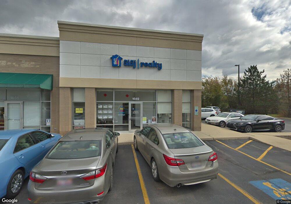
1649 N Buffalo Grove Rd Unit 1701 Buffalo Grove, IL 60089
--
Bed
1
Bath
--
Sq Ft
1.84
Acres
About This Home
This home is located at 1649 N Buffalo Grove Rd Unit 1701, Buffalo Grove, IL 60089. 1649 N Buffalo Grove Rd Unit 1701 is a home located in Lake County with nearby schools including Meridian Middle School, Tripp Elementary School, and Aptakisic Junior High School.
Ownership History
Date
Name
Owned For
Owner Type
Purchase Details
Closed on
Dec 12, 2007
Sold by
Illini Partners Buffalo Grove Llc
Bought by
The Shops At Aptakisic Llc and Southport Properties Llc
Home Financials for this Owner
Home Financials are based on the most recent Mortgage that was taken out on this home.
Original Mortgage
$7,760,000
Interest Rate
6.31%
Mortgage Type
Commercial
Create a Home Valuation Report for This Property
The Home Valuation Report is an in-depth analysis detailing your home's value as well as a comparison with similar homes in the area
Home Values in the Area
Average Home Value in this Area
Purchase History
| Date | Buyer | Sale Price | Title Company |
|---|---|---|---|
| The Shops At Aptakisic Llc | $9,700,000 | None Available |
Source: Public Records
Mortgage History
| Date | Status | Borrower | Loan Amount |
|---|---|---|---|
| Closed | The Shops At Aptakisic Llc | $7,760,000 |
Source: Public Records
Tax History Compared to Growth
Tax History
| Year | Tax Paid | Tax Assessment Tax Assessment Total Assessment is a certain percentage of the fair market value that is determined by local assessors to be the total taxable value of land and additions on the property. | Land | Improvement |
|---|---|---|---|---|
| 2024 | $70,588 | $726,349 | $240,283 | $486,066 |
| 2023 | $66,699 | $685,364 | $226,725 | $458,639 |
| 2022 | $66,699 | $682,701 | $225,844 | $456,857 |
| 2021 | $64,364 | $675,340 | $223,409 | $451,931 |
| 2020 | $63,099 | $677,644 | $224,171 | $453,473 |
| 2019 | $61,405 | $675,146 | $223,345 | $451,801 |
| 2018 | $59,322 | $650,367 | $215,148 | $435,219 |
| 2017 | $58,581 | $635,186 | $210,126 | $425,060 |
| 2016 | $56,655 | $608,241 | $201,212 | $407,029 |
| 2015 | $55,713 | $568,822 | $188,172 | $380,650 |
| 2014 | $57,089 | $576,373 | $190,670 | $385,703 |
| 2012 | $53,326 | $577,528 | $191,052 | $386,476 |
Source: Public Records
Map
Nearby Homes
- 538 Lasalle Ct
- 268 Hoffmann Dr
- 361 Hoffmann Dr
- 1901 Brandywyn Ln
- 333 Didier Ct
- 1903 Sheridan Rd
- 2033 Olive Hill Dr
- 22118 N Prairie Rd
- 327 Lasalle Ln
- 15 Thompson Ct
- 2071 Wright Blvd
- 1272 Sandhurst Dr
- 486 Satinwood Terrace Unit 11
- 1118 Larraway Dr
- 1113 Lockwood Dr
- 1265 Devonshire Rd
- 1998 Sheridan Ct
- 890 Knollwood Dr
- 16202 W Aptakisic Rd
- 148 White Branch Ct
- 1663 N Buffalo Grove Rd
- 1661 N Buffalo Grove Rd
- 1659 N Buffalo Grove Rd
- 575 Coventry Ln
- 577 Coventry Ln
- 573 Coventry Ln
- 524 Lyon Dr
- 522 Lyon Dr
- 16839 W Aptakisic Rd
- 520 Lyon Dr
- 526 Lyon Dr
- 579 Coventry Ln
- 518 Lyon Dr
- 569 Coventry Ln
- 528 Lyon Dr
- 571 Coventry Ln
- 516 Lyon Dr
- 514 Lyon Dr
- 530 Lyon Dr
- 567 Coventry Ln