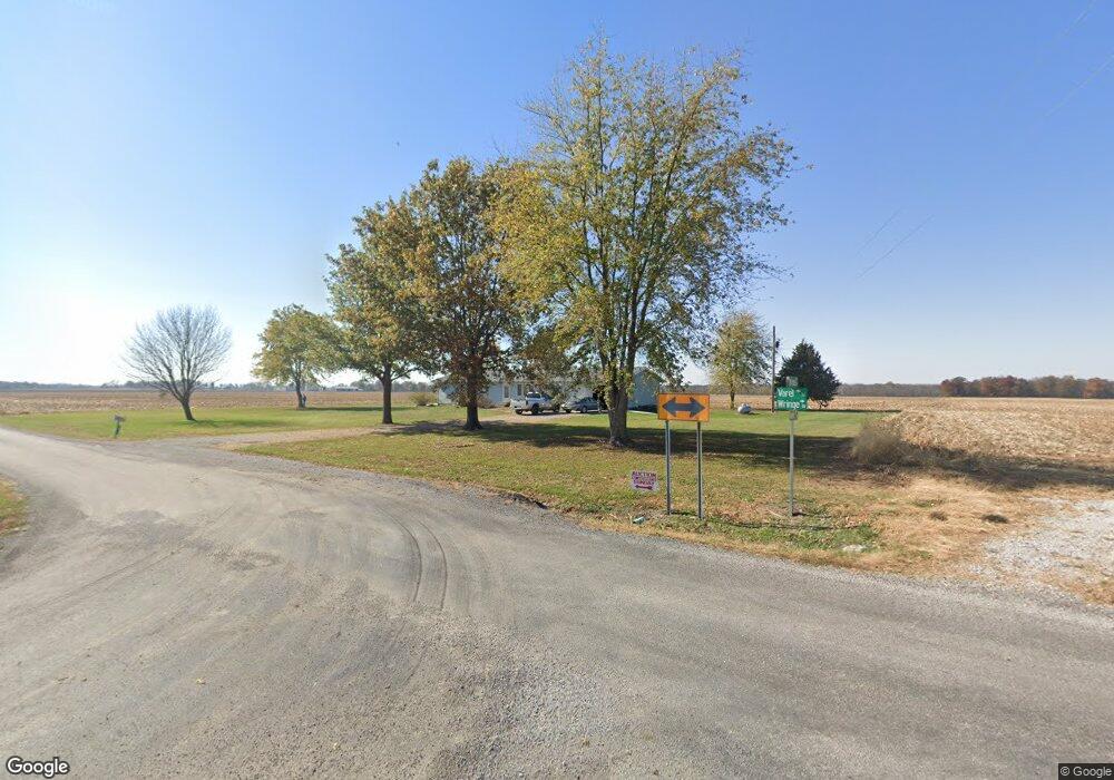
16495 Varel Rd Carlyle, IL 62231
Estimated Value: $183,000 - $228,000
3
Beds
2
Baths
1,568
Sq Ft
$130/Sq Ft
Est. Value
About This Home
This home is located at 16495 Varel Rd, Carlyle, IL 62231 and is currently estimated at $203,656, approximately $129 per square foot. 16495 Varel Rd is a home located in Clinton County with nearby schools including Carlyle Elementary School, Carlyle Junior High School, and Carlyle High School.
Ownership History
Date
Name
Owned For
Owner Type
Purchase Details
Closed on
Jun 30, 2016
Sold by
Thole Victoria H and Hodapp Geralyn M
Bought by
Diekemper Bros Inc
Current Estimated Value
Purchase Details
Closed on
Feb 11, 2013
Sold by
Thole Vicirria H
Bought by
Thole Vicria H
Purchase Details
Closed on
Oct 3, 2005
Sold by
Thole Dean H and Thole Bethannie L
Bought by
Thole Victoria H
Home Financials for this Owner
Home Financials are based on the most recent Mortgage that was taken out on this home.
Original Mortgage
$105,000
Interest Rate
5.93%
Mortgage Type
Purchase Money Mortgage
Create a Home Valuation Report for This Property
The Home Valuation Report is an in-depth analysis detailing your home's value as well as a comparison with similar homes in the area
Home Values in the Area
Average Home Value in this Area
Purchase History
| Date | Buyer | Sale Price | Title Company |
|---|---|---|---|
| Diekemper Bros Inc | -- | Attorney | |
| Thole Vicria H | -- | None Available | |
| Thole Victoria H | $105,000 | None Available |
Source: Public Records
Mortgage History
| Date | Status | Borrower | Loan Amount |
|---|---|---|---|
| Previous Owner | Thole Victoria H | $105,000 |
Source: Public Records
Tax History Compared to Growth
Tax History
| Year | Tax Paid | Tax Assessment Tax Assessment Total Assessment is a certain percentage of the fair market value that is determined by local assessors to be the total taxable value of land and additions on the property. | Land | Improvement |
|---|---|---|---|---|
| 2024 | $3,373 | $56,300 | $6,960 | $49,340 |
| 2023 | $3,184 | $51,180 | $6,330 | $44,850 |
| 2022 | $3,184 | $48,700 | $7,180 | $41,520 |
| 2021 | $2,942 | $45,510 | $6,710 | $38,800 |
| 2020 | $2,846 | $42,930 | $6,330 | $36,600 |
| 2019 | $2,848 | $42,930 | $6,330 | $36,600 |
| 2018 | $3,047 | $42,910 | $5,670 | $37,240 |
| 2017 | $3,105 | $42,910 | $5,670 | $37,240 |
| 2016 | $1,954 | $42,910 | $5,670 | $37,240 |
| 2015 | -- | $42,910 | $5,670 | $37,240 |
Source: Public Records
Map
Nearby Homes
- 15556 Old State Rd
- 18018 Illinois 127
- 15207 Business Highway 127
- 16743 Ashland Ct
- 1090 18th St
- 18835 Mary Jane Ln
- 3 Lakeview Dr
- 611 23rd St
- 1870 Fairfax St
- 951 10th St
- 291 Carter St
- 471 Methodist St
- 10675 Buckingham Ct
- 13898 Lincoln Dr
- 13964 Best One Dr
- 126 Jefferson Dr
- 0 Redwood St
- 923 N 6th St
- 290 N Elm St
- 325 N Walnut St
- 15809 Wringe Rd
- 16083 Wringe Rd
- 16611 Wringe Rd
- 0 Wringe Rd
- 16750 Wringe Rd
- 16003 Varel Rd
- 16323 Wringe Rd
- 16421 Flat Branch Rd
- 16144 Sharp Rd
- 15801 Sharp Rd
- 15643 Varel Rd
- 16005 Flat Branch Rd
- 0 Beaver Rd Unit 4300880
- XXX Sharp Rd
- 0 Sharp Rd
- 14900 Wringe Rd
- 14930 Wringe Rd
- 15545 Varel Rd
- 17000 Flat Branch Rd