Estimated Value: $749,000
4
Beds
3
Baths
2,080
Sq Ft
$360/Sq Ft
Est. Value
About This Home
This home is located at 16497 Dea Dr, Bend, OR 97703 and is currently estimated at $749,000, approximately $360 per square foot. 16497 Dea Dr is a home with nearby schools including Sisters Elementary School, Sisters Middle School, and Sisters High School.
Ownership History
Date
Name
Owned For
Owner Type
Purchase Details
Closed on
Aug 22, 2005
Sold by
Miles Jeffery S
Bought by
Hill Miles Karla L
Current Estimated Value
Purchase Details
Closed on
Nov 10, 2004
Sold by
Miles Jeffery S
Bought by
Miles Jeffery S and Hill Karla L
Purchase Details
Closed on
Apr 28, 2004
Sold by
Elmore Debi E
Bought by
Miles Jeffery S
Home Financials for this Owner
Home Financials are based on the most recent Mortgage that was taken out on this home.
Original Mortgage
$259,560
Interest Rate
6.75%
Mortgage Type
Unknown
Create a Home Valuation Report for This Property
The Home Valuation Report is an in-depth analysis detailing your home's value as well as a comparison with similar homes in the area
Home Values in the Area
Average Home Value in this Area
Purchase History
| Date | Buyer | Sale Price | Title Company |
|---|---|---|---|
| Hill Miles Karla L | $10,000 | Accommodation | |
| Miles Jeffery S | -- | Amerititle | |
| Miles Jeffery S | $288,400 | First Amer Title Ins Co Or |
Source: Public Records
Mortgage History
| Date | Status | Borrower | Loan Amount |
|---|---|---|---|
| Previous Owner | Miles Jeffery S | $259,560 |
Source: Public Records
Tax History Compared to Growth
Tax History
| Year | Tax Paid | Tax Assessment Tax Assessment Total Assessment is a certain percentage of the fair market value that is determined by local assessors to be the total taxable value of land and additions on the property. | Land | Improvement |
|---|---|---|---|---|
| 2024 | $4,114 | $298,800 | -- | -- |
| 2023 | $3,998 | $290,100 | $0 | $0 |
| 2022 | $3,675 | $273,470 | $0 | $0 |
| 2021 | $3,516 | $265,520 | $0 | $0 |
| 2020 | $3,337 | $265,520 | $0 | $0 |
| 2019 | $3,258 | $236,120 | $0 | $0 |
| 2018 | $3,175 | $229,250 | $0 | $0 |
| 2017 | $3,066 | $222,580 | $0 | $0 |
| 2016 | $3,018 | $216,100 | $0 | $0 |
| 2015 | $2,832 | $209,810 | $0 | $0 |
| 2014 | $2,658 | $203,700 | $0 | $0 |
Source: Public Records
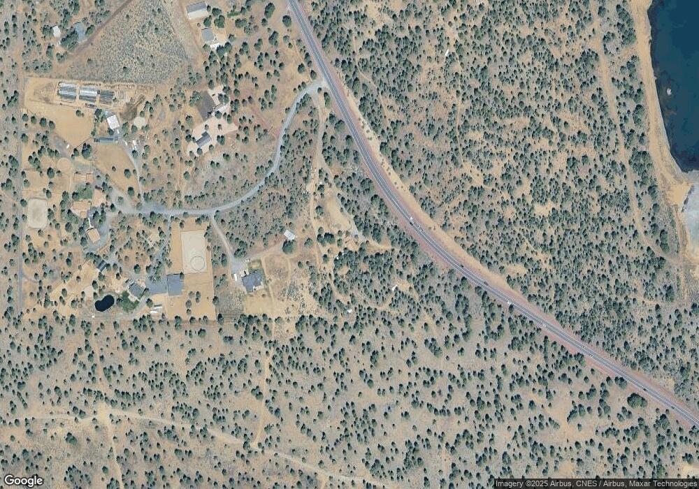
Map
Nearby Homes
- 16472 Jordan Rd
- 16400 Jordan Rd
- 67775 Cloverdale Rd
- 17515 Ivy Ln
- 714 S Wrangler Ct
- 17500 Forked Horn Rd
- 887 S Starry Skies Ct
- 930 E Desperado Trail
- 67439 U S 20
- 685 E Coyote Springs Rd
- 693 E Tyler Ave
- 17415 Kent Rd
- 380 S Timber Creek Dr
- 952 E Timber Pine Dr
- 966 E Timber Pine Dr
- 946 E Timber Pine Dr
- 923 E Cascade Ave
- 557 S Locust St
- 1005 E Horse Back Trail
- 282 E Black Crater Ave
- 16480 Dea Dr
- 16443 Dea Dr
- 16444 Dea Dr
- 68101 U S 20
- 16440 Dea Dr
- 68101 Highway 20
- 68150 Highway 20
- 68150 Highway 20
- 16443 Spunky Dr
- 16440 Spunky Dr
- 16452 Spunky Dr
- 68188 Highway 20
- 68175 Highway 20
- 68275 U S 20
- 16579 Jordan Rd
- 16615 Jordan Rd
- 16575 Jordan Rd Unit 1901
- 16575 Jordan Rd
- 16465 Jordan Rd