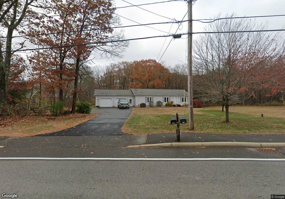
165 Alewive Rd Kennebunk, ME 04043
Estimated Value: $512,000 - $788,000
3
Beds
2
Baths
2,692
Sq Ft
$229/Sq Ft
Est. Value
About This Home
This home is located at 165 Alewive Rd, Kennebunk, ME 04043 and is currently estimated at $615,598, approximately $228 per square foot. 165 Alewive Rd is a home located in York County with nearby schools including Kennebunk High School and The New School.
Ownership History
Date
Name
Owned For
Owner Type
Purchase Details
Closed on
Aug 5, 2013
Sold by
Taylor Avis M
Bought by
Sawyer Edward L and Desjardins Louise M
Current Estimated Value
Home Financials for this Owner
Home Financials are based on the most recent Mortgage that was taken out on this home.
Original Mortgage
$228,000
Outstanding Balance
$166,533
Interest Rate
3.95%
Mortgage Type
New Conventional
Estimated Equity
$449,065
Purchase Details
Closed on
Jun 18, 2012
Sold by
Taylor Harvey W Est
Bought by
Taylor Avis M
Create a Home Valuation Report for This Property
The Home Valuation Report is an in-depth analysis detailing your home's value as well as a comparison with similar homes in the area
Home Values in the Area
Average Home Value in this Area
Purchase History
| Date | Buyer | Sale Price | Title Company |
|---|---|---|---|
| Sawyer Edward L | -- | -- | |
| Taylor Avis M | -- | -- |
Source: Public Records
Mortgage History
| Date | Status | Borrower | Loan Amount |
|---|---|---|---|
| Open | Sawyer Edward L | $228,000 |
Source: Public Records
Tax History Compared to Growth
Tax History
| Year | Tax Paid | Tax Assessment Tax Assessment Total Assessment is a certain percentage of the fair market value that is determined by local assessors to be the total taxable value of land and additions on the property. | Land | Improvement |
|---|---|---|---|---|
| 2024 | $4,670 | $275,500 | $71,300 | $204,200 |
| 2023 | $4,422 | $275,500 | $71,300 | $204,200 |
| 2022 | $4,022 | $275,500 | $71,300 | $204,200 |
| 2021 | $3,570 | $275,500 | $71,300 | $204,200 |
| 2020 | $661 | $275,500 | $71,300 | $204,200 |
| 2019 | $1,668 | $275,500 | $71,300 | $204,200 |
| 2018 | $3,617 | $206,700 | $53,500 | $153,200 |
| 2017 | $3,337 | $206,700 | $53,500 | $153,200 |
| 2016 | $3,287 | $206,700 | $53,500 | $153,200 |
| 2015 | $3,163 | $206,700 | $53,500 | $153,200 |
| 2014 | $3,080 | $206,700 | $53,500 | $153,200 |
Source: Public Records
Map
Nearby Homes
- lot #3 Salvato Ln
- 0 Potvin Rd
- 4 Millstone Ln
- 4 Furbish Ln
- 141 Thompson Rd
- 9 Patterson Dr
- 24-4,25-10 Chapman Ln
- 12 Chipmunk Trail
- 19 Old Alewive Rd
- 30 Twine Mill Rd
- 1 Dogwood Cir
- 4 Dogwood Cir
- 114 Downing Rd
- 145 Emmons Rd
- 23 Cascade Cir Unit 22
- 274 Alfred Rd
- 276 Alfred Rd
- 6 Laurel Cir Unit 6
- 3 Nichols Ln
- 5 Meander Ln Unit 2
- 169 Alewive Rd
- 159 Alewive Rd
- 164 Alewive Rd
- 197 Alewive Rd
- 131 Alewive Rd
- 139 Alewive Rd
- 1 Sunset Terrace
- 2 Sunset Terrace
- 145 Alewive Rd
- 1611 Alewive Rd
- 1900 Alewive Rd
- 452/454 Alewive Rd
- 3 Sunset Terrace
- 3 Sunset Terrace
- 12 Sunset Terrace
- 201 Alewive Rd
- 21 Sunset Terrace
- 22 Sunset Terrace
- 24 Sunset Terrace
- 6 Sunset Terrace