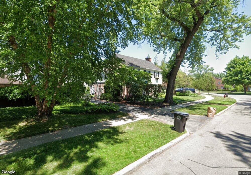
165 Beaupre Ave Grosse Pointe Farms, MI 48236
Estimated Value: $452,354 - $553,000
--
Bed
1
Bath
1,787
Sq Ft
$283/Sq Ft
Est. Value
About This Home
This home is located at 165 Beaupre Ave, Grosse Pointe Farms, MI 48236 and is currently estimated at $505,339, approximately $282 per square foot. 165 Beaupre Ave is a home located in Wayne County with nearby schools including Richard Elementary School, Brownell Middle School, and Grosse Pointe South High School.
Ownership History
Date
Name
Owned For
Owner Type
Purchase Details
Closed on
Apr 18, 2022
Sold by
Roraff and Amanda
Bought by
Roraff Joint Trust
Current Estimated Value
Purchase Details
Closed on
Jun 1, 2007
Sold by
Mclorie Gordon A and Mclorie Blair
Bought by
Roraff Amanda
Purchase Details
Closed on
Jan 29, 2003
Sold by
Hostetter Karen M
Bought by
Mclorie Gordon A
Create a Home Valuation Report for This Property
The Home Valuation Report is an in-depth analysis detailing your home's value as well as a comparison with similar homes in the area
Home Values in the Area
Average Home Value in this Area
Purchase History
| Date | Buyer | Sale Price | Title Company |
|---|---|---|---|
| Roraff Joint Trust | -- | None Listed On Document | |
| Roraff Amanda | $300,000 | Greco | |
| Mclorie Gordon A | $400,000 | Capital Title Ins Agency | |
| Mclorie Gordon A | -- | Capital Title Ins Agency |
Source: Public Records
Tax History Compared to Growth
Tax History
| Year | Tax Paid | Tax Assessment Tax Assessment Total Assessment is a certain percentage of the fair market value that is determined by local assessors to be the total taxable value of land and additions on the property. | Land | Improvement |
|---|---|---|---|---|
| 2025 | $3,878 | $221,100 | $0 | $0 |
| 2024 | $3,878 | $204,500 | $0 | $0 |
| 2023 | $3,553 | $190,100 | $0 | $0 |
| 2022 | $3,553 | $174,900 | $0 | $0 |
| 2021 | $6,520 | $167,500 | $0 | $0 |
| 2019 | $6,411 | $160,900 | $0 | $0 |
| 2018 | $3,281 | $151,800 | $0 | $0 |
| 2017 | $5,692 | $148,400 | $0 | $0 |
| 2016 | $5,967 | $142,400 | $0 | $0 |
| 2015 | $11,819 | $131,600 | $0 | $0 |
| 2013 | $11,450 | $114,500 | $0 | $0 |
| 2012 | $2,987 | $112,300 | $39,800 | $72,500 |
Source: Public Records
Map
Nearby Homes
- 276 Lewiston Rd
- 341 Mcmillan Rd
- 352 Mckinley Ave
- 827 Fisher Rd
- 194 Charlevoix Ave
- 317 Mount Vernon Ave
- 259 Mount Vernon Ave
- 302 Mount Vernon Ave
- 314 Mount Vernon Ave
- 343 Mount Vernon Ave
- 240 Mckinley Ave
- 380 Merriweather Rd
- 745 Lincoln Rd
- 233 Mcmillan Rd
- 876 Washington Rd
- 218 Merriweather Rd
- 201 Mcmillan Rd
- 216 Ridge Rd
- 415 Lothrop Rd
- 166 Lewiston Rd
- 171 Beaupre Ave
- 159 Beaupre Ave
- 175 Beaupre Ave
- 314 Mcmillan Rd
- 318 Mcmillan Rd
- 285 Kenwood Ct
- 322 Mcmillan Rd
- 177 Beaupre Ave
- 283 Kenwood Ct
- 179 Beaupre Ave
- 160 Beaupre Ave
- 281 Kenwood Ct
- 326 Mcmillan Rd
- 290 Kenwood Ct
- 311 Mcmillan Rd
- 315 Mcmillan Rd
- 286 Kenwood Ct
- 180 Beaupre Ave
- 307 Mcmillan Rd
- 317 Mcmillan Rd