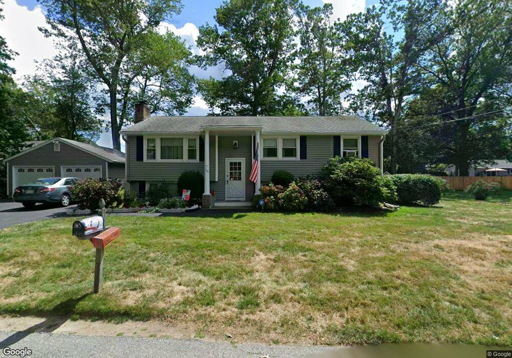
165 Birch St Attleboro, MA 02703
Estimated Value: $460,000 - $500,000
3
Beds
1
Bath
1,135
Sq Ft
$426/Sq Ft
Est. Value
About This Home
This home is located at 165 Birch St, Attleboro, MA 02703 and is currently estimated at $483,786, approximately $426 per square foot. 165 Birch St is a home located in Bristol County with nearby schools including A. Irvin Studley Elementary School, Cyril K. Brennan Middle School, and Attleboro High School.
Ownership History
Date
Name
Owned For
Owner Type
Purchase Details
Closed on
Feb 6, 2023
Sold by
Dean Kenneth B
Bought by
Dean Bradford J and Dean Deborah L
Current Estimated Value
Purchase Details
Closed on
Jan 1, 1970
Bought by
Dean Kenneth B and Dean Peggy R
Create a Home Valuation Report for This Property
The Home Valuation Report is an in-depth analysis detailing your home's value as well as a comparison with similar homes in the area
Home Values in the Area
Average Home Value in this Area
Purchase History
| Date | Buyer | Sale Price | Title Company |
|---|---|---|---|
| Dean Bradford J | -- | None Available | |
| Dean Kenneth B | -- | -- |
Source: Public Records
Mortgage History
| Date | Status | Borrower | Loan Amount |
|---|---|---|---|
| Previous Owner | Dean Kenneth B | $35,000 | |
| Previous Owner | Dean Kenneth B | $35,000 | |
| Previous Owner | Dean Kenneth B | $45,000 | |
| Previous Owner | Dean Kenneth B | $40,000 |
Source: Public Records
Tax History Compared to Growth
Tax History
| Year | Tax Paid | Tax Assessment Tax Assessment Total Assessment is a certain percentage of the fair market value that is determined by local assessors to be the total taxable value of land and additions on the property. | Land | Improvement |
|---|---|---|---|---|
| 2025 | $5,772 | $459,900 | $163,900 | $296,000 |
| 2024 | $5,558 | $436,600 | $147,400 | $289,200 |
| 2023 | $5,492 | $401,200 | $148,900 | $252,300 |
| 2022 | $5,268 | $364,600 | $141,800 | $222,800 |
| 2021 | $4,962 | $335,300 | $136,400 | $198,900 |
| 2020 | $4,678 | $321,300 | $130,300 | $191,000 |
| 2019 | $4,436 | $313,300 | $127,800 | $185,500 |
| 2018 | $4,307 | $290,600 | $124,200 | $166,400 |
| 2017 | $3,924 | $269,700 | $121,000 | $148,700 |
| 2016 | $3,536 | $238,600 | $112,900 | $125,700 |
| 2015 | $3,495 | $237,600 | $112,900 | $124,700 |
| 2014 | $3,364 | $226,500 | $108,000 | $118,500 |
Source: Public Records
Map
Nearby Homes
- 804 County St
- 31 Verndale Ave
- 34 Hawthorne St
- 17 Jewel Ave
- 22 Oakland Ave Unit 1
- 24 Oakland Ave Unit 1
- 52 Hawthorne St
- 49 Bushee St
- 309 Thacher St
- 0 Tulip Unit 73410552
- 0 Tulip Unit 73407296
- 101 South Ave Unit 803
- 660 Thacher St Unit 1402
- 75 Grant St
- 3 Grant St
- 21 Dennis St
- 49 Dennis St
- 429 S Main St Unit 1
- 6 Perez St
- 26 Lamb St
- 64 Stoney Brook Ln
- 70 Stoney Brook Ln
- 179 Birch St
- 164 Birch St
- 48 Stoney Brook Ln
- 0 Palm St
- 0 Palm St Unit 71957671
- 0 Palm St Unit 71741151
- 70 Stoney Brook Ln
- 166 Birch St
- 59 Stoney Brook Ln
- 65 Stoney Brook Ln
- 169 Birch St
- 53 Stoney Brook Ln
- 44 Stoney Brook Ln
- 11 Birch St
- 11 Birch St
- 7 Birch St
- 8 Birch St
- 168 Birch St