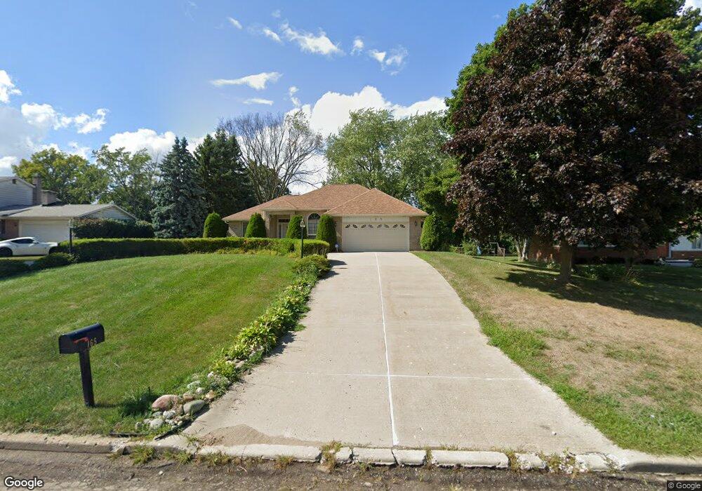
165 Bloomfield Blvd Bloomfield Hills, MI 48302
Estimated Value: $420,000 - $468,000
3
Beds
2
Baths
2,098
Sq Ft
$211/Sq Ft
Est. Value
About This Home
This home is located at 165 Bloomfield Blvd, Bloomfield Hills, MI 48302 and is currently estimated at $442,774, approximately $211 per square foot. 165 Bloomfield Blvd is a home located in Oakland County with nearby schools including Eastover Elementary School, Bloomfield Hills High School, and Arts & Technology Academy of Pontiac.
Ownership History
Date
Name
Owned For
Owner Type
Purchase Details
Closed on
Jun 9, 2015
Sold by
Woodman Mamie R and Woodman Cecil
Bought by
Woodman Mamie R and Mamie R Woodman Living Trust
Current Estimated Value
Create a Home Valuation Report for This Property
The Home Valuation Report is an in-depth analysis detailing your home's value as well as a comparison with similar homes in the area
Home Values in the Area
Average Home Value in this Area
Purchase History
| Date | Buyer | Sale Price | Title Company |
|---|---|---|---|
| Woodman Mamie R | -- | Attorney |
Source: Public Records
Tax History Compared to Growth
Tax History
| Year | Tax Paid | Tax Assessment Tax Assessment Total Assessment is a certain percentage of the fair market value that is determined by local assessors to be the total taxable value of land and additions on the property. | Land | Improvement |
|---|---|---|---|---|
| 2024 | $1,792 | $224,220 | $0 | $0 |
| 2023 | $1,734 | $182,470 | $0 | $0 |
| 2022 | $3,259 | $172,330 | $0 | $0 |
| 2021 | $3,236 | $133,060 | $0 | $0 |
| 2020 | $1,586 | $120,310 | $0 | $0 |
| 2019 | $3,045 | $129,830 | $0 | $0 |
| 2018 | $3,059 | $120,540 | $0 | $0 |
| 2017 | $3,037 | $118,720 | $0 | $0 |
| 2016 | $3,043 | $126,440 | $0 | $0 |
| 2015 | -- | $124,360 | $0 | $0 |
| 2014 | -- | $102,660 | $0 | $0 |
| 2011 | -- | $70,550 | $0 | $0 |
Source: Public Records
Map
Nearby Homes
- 00 S Berkshire
- 200 Astorwood St
- 200 Cedardale Ave
- 95 Hillsdale Rd
- 583 Going St
- 323 Ferry Ave
- 2665 Lahser Rd
- 567 Highland Ave
- 2449 Mulberry Square Unit 31
- 2383 Mulberry Square Unit 72
- 2449 Mulberry Square Unit 28
- 465 S Marshall St
- 363 Sycamore Ct
- 2442 Mulberry Square Unit 36
- 447 S Marshall St
- 440 Martin Luther King Junior Blvd S
- 209 Ferry Ave
- 371 Nebraska Ave
- 481 Harvey Ave
- 317 Prospect St
- 149 Bloomfield Blvd
- 181 Bloomfield Blvd
- 200 Alice Ave
- 210 Alice Ave
- 180 Alice Ave
- 209 Bloomfield Blvd
- 135 Bloomfield Blvd
- 170 Alice Ave
- 230 Alice Ave
- 150 Alice Ave
- 173 Alice Ave
- 225 Bloomfield Blvd
- 121 Bloomfield Blvd
- 223 Alice Ave
- 164 Bloomfield Blvd
- VACANT Alice Ave
- 274 Alice Ave
- 150 Bloomfield Blvd
- 169 Alice Ave
- 201 Alice Ave