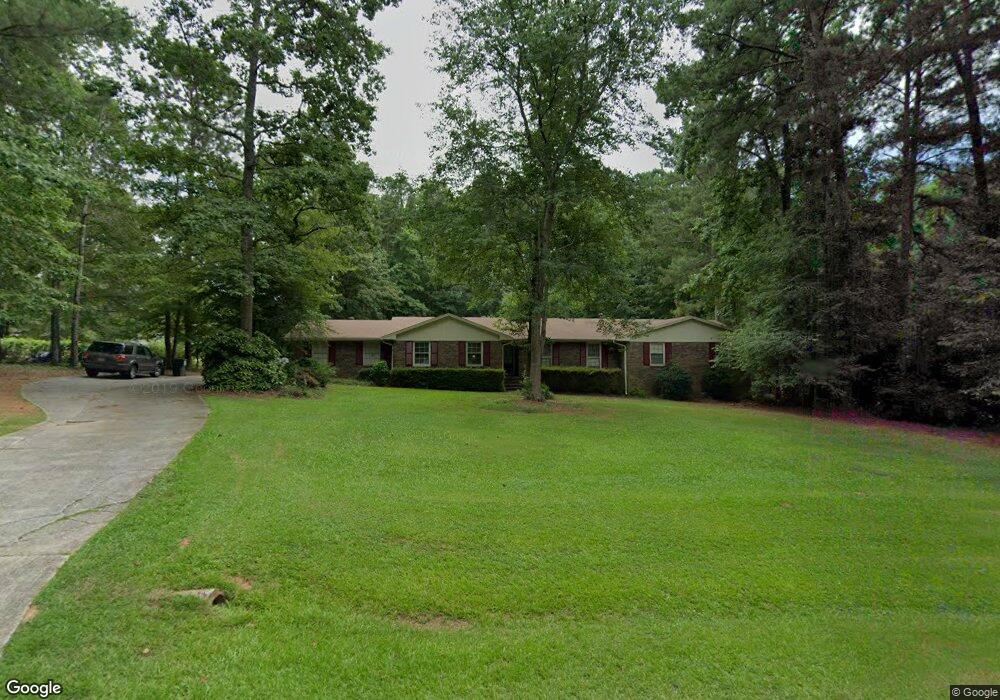
165 Cedar Cir Fayetteville, GA 30214
Estimated Value: $398,766 - $457,000
--
Bed
2
Baths
2,402
Sq Ft
$174/Sq Ft
Est. Value
About This Home
This home is located at 165 Cedar Cir, Fayetteville, GA 30214 and is currently estimated at $418,942, approximately $174 per square foot. 165 Cedar Cir is a home located in Fayette County with nearby schools including Bennett's Mill Middle School, Fayette County High School, and Rising Star Montessori School.
Ownership History
Date
Name
Owned For
Owner Type
Purchase Details
Closed on
Apr 19, 1999
Sold by
Wood Charles W
Bought by
Riverdale Church Of God
Current Estimated Value
Home Financials for this Owner
Home Financials are based on the most recent Mortgage that was taken out on this home.
Original Mortgage
$130,000
Outstanding Balance
$32,371
Interest Rate
6.84%
Mortgage Type
New Conventional
Estimated Equity
$386,571
Purchase Details
Closed on
May 10, 1995
Sold by
Dennis Herbert Nancy
Bought by
Kastenbauer John
Create a Home Valuation Report for This Property
The Home Valuation Report is an in-depth analysis detailing your home's value as well as a comparison with similar homes in the area
Home Values in the Area
Average Home Value in this Area
Purchase History
| Date | Buyer | Sale Price | Title Company |
|---|---|---|---|
| Riverdale Church Of God | $155,000 | -- | |
| Wood Charles W | -- | -- | |
| Kastenbauer John | $115,000 | -- |
Source: Public Records
Mortgage History
| Date | Status | Borrower | Loan Amount |
|---|---|---|---|
| Open | Wood Charles W | $130,000 | |
| Closed | Kastenbauer John | $0 |
Source: Public Records
Tax History Compared to Growth
Tax History
| Year | Tax Paid | Tax Assessment Tax Assessment Total Assessment is a certain percentage of the fair market value that is determined by local assessors to be the total taxable value of land and additions on the property. | Land | Improvement |
|---|---|---|---|---|
| 2024 | $2,965 | $155,340 | $25,600 | $129,740 |
| 2023 | $2,573 | $149,200 | $25,600 | $123,600 |
| 2022 | $2,882 | $142,640 | $25,600 | $117,040 |
| 2021 | $2,623 | $113,920 | $15,000 | $98,920 |
| 2020 | $2,860 | $103,360 | $15,000 | $88,360 |
| 2019 | $2,789 | $98,480 | $15,000 | $83,480 |
| 2018 | $2,645 | $92,400 | $15,000 | $77,400 |
| 2017 | $2,365 | $82,440 | $15,000 | $67,440 |
| 2016 | $1,861 | $63,760 | $15,000 | $48,760 |
| 2015 | $1,755 | $59,160 | $15,000 | $44,160 |
| 2014 | $1,643 | $54,680 | $15,000 | $39,680 |
| 2013 | -- | $51,120 | $0 | $0 |
Source: Public Records
Map
Nearby Homes
- 190 Rolison Way
- 150 Rolison Way
- 235 Rolison Way
- 170 Liberty Dr
- 150 Bartow St Unit LOT 5
- 140 Bartow St Unit LOT 4
- 130 Reese St
- 140 Rolison Way
- 560 Hawthorne Dr
- 145 Woodsong Dr
- 0 Highway 92 N Unit 10594507
- 0 Highway 92 N Unit 7570733
- 145 Heritage Way
- 115 Westside Way
- 615 New Hope Rd
- 615 New Hope Rd Unit NO SUBDIVISION
- 230 White Rd
- E OF 118 Stanley Rd
- 585 Huddleston Rd
- 220 Lang Dr
- 155 Cedar Cir
- 157 Hickory Rd
- 240 Cedar Cir
- 250 Hickory Rd
- 250 Cedar Cir
- 230 Cedar Cir
- 163 Hickory Rd
- 145 Cedar Cir
- 260 Cedar Cir Unit 1
- 260 Cedar Cir
- 220 Cedar Cir
- 173 Hickory Rd
- 115 Cedar Cir
- 105 Cedar Cir
- 135 Cedar Cir
- 125 Cedar Cir
- 210 Cedar Cir
- 179 Hickory Rd
- 158 Hickory Rd
- 0 Cedar Cir Unit 8563092