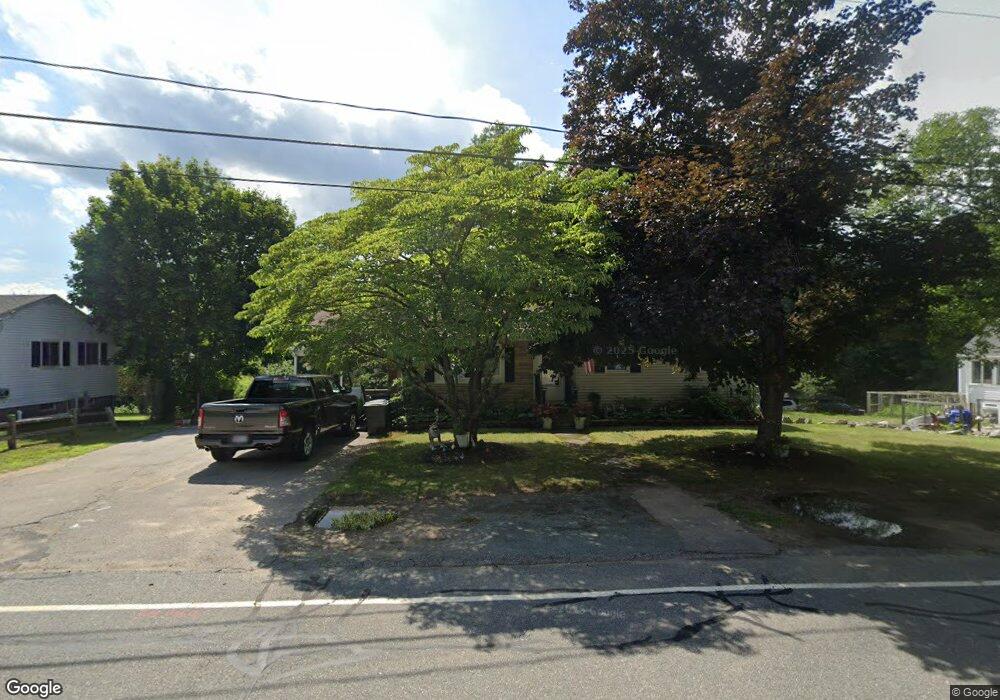
165 Cedar St Stoughton, MA 02072
Estimated Value: $509,000 - $566,000
3
Beds
3
Baths
1,733
Sq Ft
$309/Sq Ft
Est. Value
About This Home
This home is located at 165 Cedar St, Stoughton, MA 02072 and is currently estimated at $535,698, approximately $309 per square foot. 165 Cedar St is a home located in Norfolk County with nearby schools including South Elementary School, O'Donnell Middle School, and Stoughton High School.
Ownership History
Date
Name
Owned For
Owner Type
Purchase Details
Closed on
Dec 23, 2019
Sold by
Shea Kelly J
Bought by
Shea Kelly J and Wigfall Marcia E
Current Estimated Value
Purchase Details
Closed on
Apr 21, 2005
Sold by
Shea Kelly J and Shea Valarie M
Bought by
Shea Kelly J
Create a Home Valuation Report for This Property
The Home Valuation Report is an in-depth analysis detailing your home's value as well as a comparison with similar homes in the area
Home Values in the Area
Average Home Value in this Area
Purchase History
| Date | Buyer | Sale Price | Title Company |
|---|---|---|---|
| Shea Kelly J | -- | None Available | |
| Shea Kelly J | -- | None Available | |
| Shea Kelly J | -- | None Available | |
| Shea Kelly J | -- | -- | |
| Shea Kelly J | -- | -- |
Source: Public Records
Mortgage History
| Date | Status | Borrower | Loan Amount |
|---|---|---|---|
| Previous Owner | Shea Kelly J | $16,000 | |
| Previous Owner | Shea Kelly J | $9,423 | |
| Previous Owner | Shea Kelly J | $9,111 |
Source: Public Records
Tax History
| Year | Tax Paid | Tax Assessment Tax Assessment Total Assessment is a certain percentage of the fair market value that is determined by local assessors to be the total taxable value of land and additions on the property. | Land | Improvement |
|---|---|---|---|---|
| 2025 | $5,604 | $452,700 | $223,200 | $229,500 |
| 2024 | $5,480 | $430,500 | $203,400 | $227,100 |
| 2023 | $5,345 | $394,500 | $189,000 | $205,500 |
| 2022 | $5,072 | $352,000 | $172,800 | $179,200 |
| 2021 | $4,894 | $324,100 | $156,600 | $167,500 |
| 2020 | $4,745 | $318,700 | $151,200 | $167,500 |
| 2019 | $4,669 | $304,400 | $151,200 | $153,200 |
| 2018 | $4,138 | $279,400 | $144,000 | $135,400 |
| 2017 | $3,891 | $268,500 | $136,800 | $131,700 |
| 2016 | $3,656 | $244,200 | $126,000 | $118,200 |
| 2015 | $3,586 | $237,000 | $118,800 | $118,200 |
| 2014 | $3,335 | $211,900 | $108,000 | $103,900 |
Source: Public Records
Map
Nearby Homes
- 0 Atkinson Ave
- 434 Sumner St
- 882 Park St
- 15 First St
- 56 3rd St
- Lot 3 Lawler Ln
- 42 Brown St
- 44 Reservoir St Unit 52
- 42 Brewster Rd Unit 42
- 72 Rogers Dr
- 73 Crescent Ave
- 79 Kinsley St
- 25 Lawler Ln
- 20 Washington St Unit 1-8
- 685 Oak St Unit 129
- 685 Oak St Unit 38
- 685 Oak St Unit 21
- 15 Lawler Ln
- 110 Union St
- 86 Union St
Your Personal Tour Guide
Ask me questions while you tour the home.