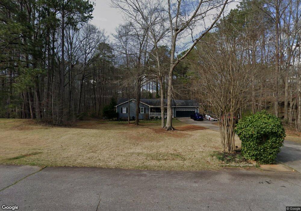
165 Creek Dr Locust Grove, GA 30248
Estimated Value: $252,000 - $273,516
3
Beds
2
Baths
1,534
Sq Ft
$173/Sq Ft
Est. Value
About This Home
This home is located at 165 Creek Dr, Locust Grove, GA 30248 and is currently estimated at $266,129, approximately $173 per square foot. 165 Creek Dr is a home located in Henry County with nearby schools including New Hope Elementary School, Locust Grove Middle School, and Locust Grove High School.
Ownership History
Date
Name
Owned For
Owner Type
Purchase Details
Closed on
Jan 27, 2021
Sold by
Cornutt Kelly M
Bought by
Mathis Kelly and Cornutt Heidi
Current Estimated Value
Home Financials for this Owner
Home Financials are based on the most recent Mortgage that was taken out on this home.
Original Mortgage
$128,000
Outstanding Balance
$93,376
Interest Rate
2.6%
Mortgage Type
New Conventional
Estimated Equity
$172,753
Purchase Details
Closed on
May 16, 2006
Sold by
Works Joel A and Works Patricia B
Bought by
Cornutt Kelly M
Home Financials for this Owner
Home Financials are based on the most recent Mortgage that was taken out on this home.
Original Mortgage
$108,000
Interest Rate
6.41%
Mortgage Type
New Conventional
Purchase Details
Closed on
May 14, 1993
Sold by
James Marion C
Bought by
Works Joel A and Works Patricia B
Home Financials for this Owner
Home Financials are based on the most recent Mortgage that was taken out on this home.
Original Mortgage
$78,692
Interest Rate
7.57%
Mortgage Type
FHA
Create a Home Valuation Report for This Property
The Home Valuation Report is an in-depth analysis detailing your home's value as well as a comparison with similar homes in the area
Home Values in the Area
Average Home Value in this Area
Purchase History
| Date | Buyer | Sale Price | Title Company |
|---|---|---|---|
| Mathis Kelly | -- | -- | |
| Cornutt Kelly M | $135,000 | -- | |
| Works Joel A | $79,900 | -- |
Source: Public Records
Mortgage History
| Date | Status | Borrower | Loan Amount |
|---|---|---|---|
| Open | Mathis Kelly | $128,000 | |
| Previous Owner | Cornutt Kelly M | $108,000 | |
| Previous Owner | Works Joel A | $78,692 |
Source: Public Records
Tax History Compared to Growth
Tax History
| Year | Tax Paid | Tax Assessment Tax Assessment Total Assessment is a certain percentage of the fair market value that is determined by local assessors to be the total taxable value of land and additions on the property. | Land | Improvement |
|---|---|---|---|---|
| 2025 | $4,564 | $113,560 | $16,000 | $97,560 |
| 2024 | $4,564 | $107,880 | $16,000 | $91,880 |
| 2023 | $4,252 | $108,880 | $14,800 | $94,080 |
| 2022 | $3,414 | $87,040 | $14,800 | $72,240 |
| 2021 | $2,737 | $69,400 | $14,800 | $54,600 |
| 2020 | $2,429 | $61,360 | $12,000 | $49,360 |
| 2019 | $2,323 | $58,600 | $12,000 | $46,600 |
| 2018 | $2,169 | $54,600 | $10,800 | $43,800 |
| 2016 | $1,772 | $44,240 | $10,000 | $34,240 |
| 2015 | $1,640 | $39,560 | $10,000 | $29,560 |
| 2014 | $1,517 | $36,040 | $10,000 | $26,040 |
Source: Public Records
Map
Nearby Homes
- 1126 Old Jackson Rd
- 121, 125, 129 Case Dr
- 100 Harbin Trail
- 143 Kimbell Farm Dr
- 995 Old Jackson Rd
- 281 Laney Dr
- 215 Laney Rd
- 218 Baxter Ln
- 767 Old Jackson Rd
- 521 Deadwood Trail
- 601 Amerigo Ct
- 125 Laney Ct
- 705 S Bethany Rd
- 125 Karen Dr
- 175 Laney Ct Unit 1
- 1000 Coan Dr
- S S Laney Rd
- 225 Laney Ct
- 604 Onieda Dr
- 151 River Park Cir
- 25 Apache Ct
- 135 Creek Dr
- 175 Creek Dr
- 170 Creek Dr
- 125 Creek Dr
- 35 Apache Ct
- 185 Creek Dr Unit 11
- 185 Creek Dr
- 160 Creek Dr Unit 8
- 160 Creek Dr
- 180 Creek Dr
- 130 Creek Dr
- 0 Apache Ct Unit 7087315
- 0 Apache Ct Unit 7037147
- 0 Apache Ct
- 133 Case Dr
- 0 Creek Dr Unit 8658430
- 0 Creek Dr Unit 9069883
- 150 Creek Dr
- 120 Creek Dr