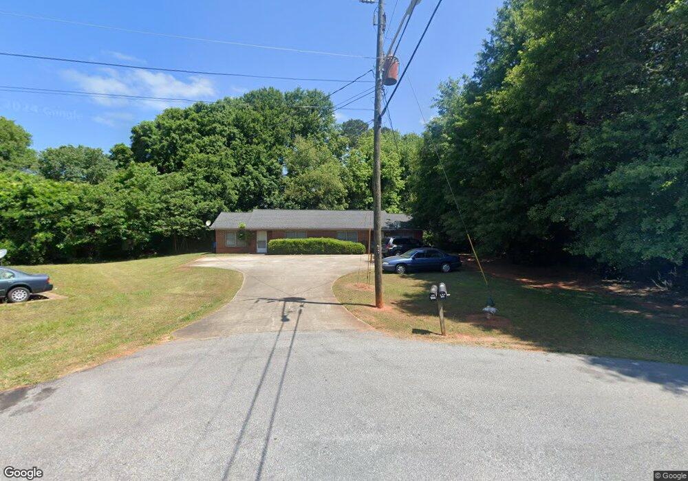
165 Dement St Athens, GA 30605
Estimated Value: $220,000 - $280,613
4
Beds
2
Baths
1,741
Sq Ft
$147/Sq Ft
Est. Value
About This Home
This home is located at 165 Dement St, Athens, GA 30605 and is currently estimated at $255,403, approximately $146 per square foot. 165 Dement St is a home located in Clarke County with nearby schools including Barnett Shoals Elementary School, Hilsman Middle School, and Cedar Shoals High School.
Ownership History
Date
Name
Owned For
Owner Type
Purchase Details
Closed on
Jun 26, 2025
Sold by
Nalley Ashley
Bought by
Nalley Holdings Llc
Current Estimated Value
Purchase Details
Closed on
Jun 23, 2023
Sold by
Walley Sophie
Bought by
Mceachern Brandon and Nalley Ashley
Purchase Details
Closed on
Jun 13, 2011
Sold by
Walley Richard
Bought by
Walley Sophie
Purchase Details
Closed on
Aug 29, 1991
Sold by
Utley Henry G
Bought by
Walley Richard
Create a Home Valuation Report for This Property
The Home Valuation Report is an in-depth analysis detailing your home's value as well as a comparison with similar homes in the area
Home Values in the Area
Average Home Value in this Area
Purchase History
| Date | Buyer | Sale Price | Title Company |
|---|---|---|---|
| Nalley Holdings Llc | -- | -- | |
| Mceachern Brandon | -- | -- | |
| Walley Sophie | -- | -- | |
| Walley Richard | $53,000 | -- |
Source: Public Records
Tax History Compared to Growth
Tax History
| Year | Tax Paid | Tax Assessment Tax Assessment Total Assessment is a certain percentage of the fair market value that is determined by local assessors to be the total taxable value of land and additions on the property. | Land | Improvement |
|---|---|---|---|---|
| 2025 | $2,731 | $87,947 | $12,000 | $75,947 |
| 2024 | $2,731 | $82,001 | $12,000 | $70,001 |
| 2023 | $2,188 | $82,090 | $12,000 | $70,090 |
| 2022 | $2,042 | $64,004 | $10,400 | $53,604 |
| 2021 | $1,719 | $51,018 | $8,000 | $43,018 |
| 2020 | $1,280 | $37,979 | $8,000 | $29,979 |
| 2019 | $1,234 | $36,336 | $8,000 | $28,336 |
| 2018 | $963 | $28,378 | $8,000 | $20,378 |
| 2017 | $954 | $28,102 | $8,000 | $20,102 |
| 2016 | $947 | $27,898 | $8,000 | $19,898 |
| 2015 | $926 | $27,233 | $8,000 | $19,233 |
| 2014 | $924 | $27,138 | $8,000 | $19,138 |
Source: Public Records
Map
Nearby Homes
- 211 Stonecrest Ct
- 135 Wakefield Dr
- 157 Wakefield Trace
- 148 Warren Way
- 171 Birch Valley Dr
- 140 Whitehall Rd
- 0 Barnett Shoals Rd Unit Lot 2
- 0 Barnett Shoals Rd Unit Lot 1
- 430 Forest Rd
- 150 Greenwood Ln
- 400 Ansley Dr
- 170 Brookwood Dr
- 119 Pine Ridge Trace
- 352 Greencrest Dr
- 354 Greencrest Dr
- 209 Center Park Ln
- 155 Dement St
- 130 Brentwood Dr
- 120 Brentwood Dr
- 140 Brentwood Dr
- 147 Dement St
- 145 Dement St
- 110 Brentwood Dr
- 145 Dement St
- 150 Brentwood Dr
- 375 Rumson Rd
- 125 Brentwood Dr
- 160 Brentwood Dr
- 100 Brentwood Dr
- 135 Brentwood Dr
- 135 Dement St
- 105 Brentwood Dr
- 145 Brentwood Dr
- 525 Ashbrook Ct
- 155 Brentwood Dr
- 170 Brentwood Dr