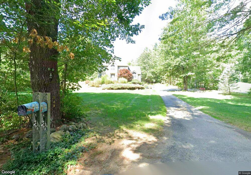
165 Depot St Dunstable, MA 01827
Estimated Value: $797,000 - $847,000
3
Beds
3
Baths
2,589
Sq Ft
$320/Sq Ft
Est. Value
About This Home
This home is located at 165 Depot St, Dunstable, MA 01827 and is currently estimated at $828,767, approximately $320 per square foot. 165 Depot St is a home located in Middlesex County with nearby schools including Groton Dunstable Regional High School and 2nd Nature Academy.
Create a Home Valuation Report for This Property
The Home Valuation Report is an in-depth analysis detailing your home's value as well as a comparison with similar homes in the area
Home Values in the Area
Average Home Value in this Area
Tax History
| Year | Tax Paid | Tax Assessment Tax Assessment Total Assessment is a certain percentage of the fair market value that is determined by local assessors to be the total taxable value of land and additions on the property. | Land | Improvement |
|---|---|---|---|---|
| 2025 | $10,519 | $765,000 | $214,400 | $550,600 |
| 2024 | $10,209 | $731,300 | $209,200 | $522,100 |
| 2023 | $10,093 | $674,200 | $209,200 | $465,000 |
| 2022 | $9,312 | $610,600 | $209,200 | $401,400 |
| 2021 | $9,185 | $559,700 | $185,400 | $374,300 |
| 2020 | $9,021 | $535,700 | $177,200 | $358,500 |
| 2019 | $8,769 | $514,000 | $177,200 | $336,800 |
| 2018 | $8,547 | $487,300 | $176,200 | $311,100 |
| 2017 | $8,216 | $482,700 | $176,200 | $306,500 |
| 2016 | $7,534 | $455,200 | $151,700 | $303,500 |
| 2015 | $7,704 | $460,500 | $148,500 | $312,000 |
| 2014 | $7,262 | $460,500 | $148,500 | $312,000 |
Source: Public Records
Map
Nearby Homes
- 62 Brook St
- 319 Pleasant St
- 153 Off Pond St
- 235 Kemp St
- 12 Unkety Brook Way
- 11 Unkety Brook Way
- 121 Cherrywood Dr
- 1 Doucet Ave
- 77 Wilderness Dr
- 141 Ridge Rd
- 7 Wilderness Dr
- 2 Wilderness Dr
- 58 Wilderness Dr
- 1 Wilderness Dr
- 79 Wilderness Dr
- 3 Wilderness Dr
- 4 Wilderness Dr
- 6 Wilderness Dr
- 57 Wilderness Dr
- 65 Wilderness Dr
Your Personal Tour Guide
Ask me questions while you tour the home.