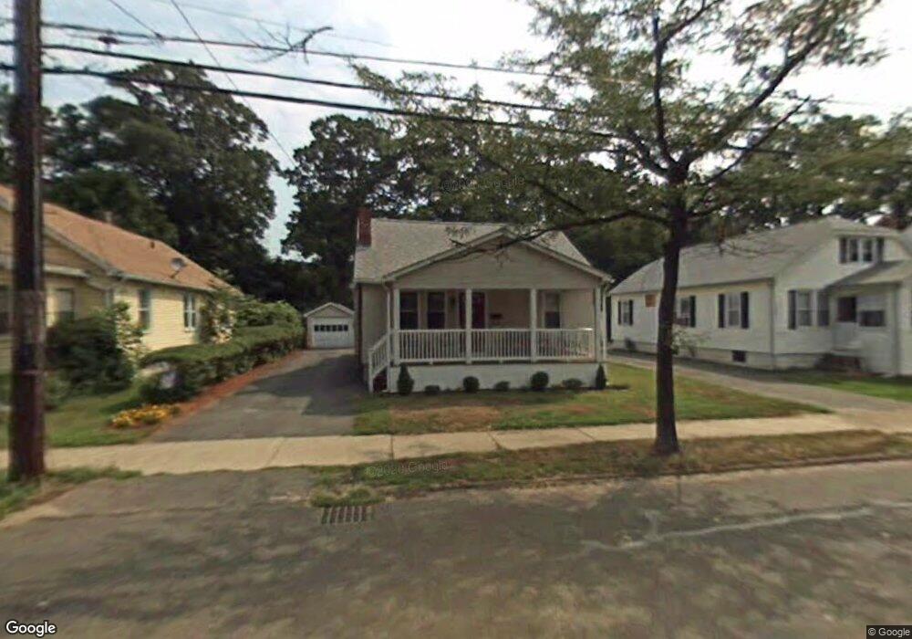
165 Dwight Rd Longmeadow, MA 01106
Estimated Value: $261,000 - $280,000
3
Beds
1
Bath
1,299
Sq Ft
$209/Sq Ft
Est. Value
About This Home
This home is located at 165 Dwight Rd, Longmeadow, MA 01106 and is currently estimated at $271,931, approximately $209 per square foot. 165 Dwight Rd is a home located in Hampden County with nearby schools including Meadowbrook Elementary School, Birchland Park Middle School, and East Longmeadow High School.
Ownership History
Date
Name
Owned For
Owner Type
Purchase Details
Closed on
Nov 28, 2007
Sold by
Avezzie Lynn M and Mccolgan Lynn M
Bought by
Dimascola Brent C and Dimascola Jasmine M
Current Estimated Value
Home Financials for this Owner
Home Financials are based on the most recent Mortgage that was taken out on this home.
Original Mortgage
$172,296
Outstanding Balance
$110,067
Interest Rate
6.48%
Mortgage Type
Purchase Money Mortgage
Estimated Equity
$161,864
Purchase Details
Closed on
Sep 10, 2004
Sold by
Kennedy Pauline A
Bought by
Avezzie Lynn M
Create a Home Valuation Report for This Property
The Home Valuation Report is an in-depth analysis detailing your home's value as well as a comparison with similar homes in the area
Home Values in the Area
Average Home Value in this Area
Purchase History
| Date | Buyer | Sale Price | Title Company |
|---|---|---|---|
| Dimascola Brent C | $175,000 | -- | |
| Avezzie Lynn M | $77,000 | -- |
Source: Public Records
Mortgage History
| Date | Status | Borrower | Loan Amount |
|---|---|---|---|
| Open | Dimascola Brent C | $172,296 |
Source: Public Records
Tax History
| Year | Tax Paid | Tax Assessment Tax Assessment Total Assessment is a certain percentage of the fair market value that is determined by local assessors to be the total taxable value of land and additions on the property. | Land | Improvement |
|---|---|---|---|---|
| 2025 | $3,461 | $187,300 | $74,700 | $112,600 |
| 2024 | $3,322 | $179,200 | $74,700 | $104,500 |
| 2023 | $2 | $163,600 | $67,900 | $95,700 |
| 2022 | $3,009 | $148,300 | $61,700 | $86,600 |
| 2021 | $2 | $140,400 | $57,100 | $83,300 |
| 2020 | $2,843 | $136,400 | $57,100 | $79,300 |
| 2019 | $2 | $133,100 | $55,400 | $77,700 |
| 2018 | $2 | $127,400 | $55,400 | $72,000 |
| 2017 | $2 | $106,500 | $52,700 | $53,800 |
| 2016 | $2,321 | $109,900 | $56,800 | $53,100 |
| 2015 | $2,277 | $109,900 | $56,800 | $53,100 |
Source: Public Records
Map
Nearby Homes
- 78 Wood Ave
- 5 Fenimore Blvd
- 26 Dwight Rd
- 38 Manchester Terrace
- 33-35 Ruskin St
- 23 Fairway Dr
- 137 Carroll St
- 22 Eleanor Rd
- 179 Carver St
- 132 Carroll St
- 0 Donald Ave
- 914-916 Belmont Ave
- 134-136 Woodlawn St
- 42 Carroll St
- 161 Dorset St
- 12 Carroll St
- 88 Brunswick St
- 35 Carlton St
- 62 Cooley Ave
- 104 Appleton St
Your Personal Tour Guide
Ask me questions while you tour the home.