165 E Bozeman Ln Fort Worth, TX 76108
Far West Fort Worth NeighborhoodEstimated Value: $1,244,000 - $1,436,000
5
Beds
5
Baths
5,478
Sq Ft
$245/Sq Ft
Est. Value
About This Home
This home is located at 165 E Bozeman Ln, Fort Worth, TX 76108 and is currently estimated at $1,343,192, approximately $245 per square foot. 165 E Bozeman Ln is a home located in Parker County with nearby schools including Silver Creek Elementary School, Azle Elementary School, and Azle Junior High School.
Ownership History
Date
Name
Owned For
Owner Type
Purchase Details
Closed on
Jul 30, 2020
Sold by
Lewandowski Michael J and Lewandowski Kimberly M
Bought by
King Matthew and King Dana Louise
Current Estimated Value
Home Financials for this Owner
Home Financials are based on the most recent Mortgage that was taken out on this home.
Original Mortgage
$703,200
Outstanding Balance
$624,940
Interest Rate
3.1%
Mortgage Type
New Conventional
Estimated Equity
$718,253
Purchase Details
Closed on
Dec 22, 2005
Sold by
Shriners Hospitals For Children
Bought by
Lewandowski Michael J and Lewandowski Kimberly M
Home Financials for this Owner
Home Financials are based on the most recent Mortgage that was taken out on this home.
Original Mortgage
$71,200
Interest Rate
6.23%
Mortgage Type
Purchase Money Mortgage
Create a Home Valuation Report for This Property
The Home Valuation Report is an in-depth analysis detailing your home's value as well as a comparison with similar homes in the area
Home Values in the Area
Average Home Value in this Area
Purchase History
| Date | Buyer | Sale Price | Title Company |
|---|---|---|---|
| King Matthew | -- | Capital Title | |
| Lewandowski Michael J | -- | Stnt |
Source: Public Records
Mortgage History
| Date | Status | Borrower | Loan Amount |
|---|---|---|---|
| Open | King Matthew | $703,200 | |
| Previous Owner | Lewandowski Michael J | $71,200 |
Source: Public Records
Tax History Compared to Growth
Tax History
| Year | Tax Paid | Tax Assessment Tax Assessment Total Assessment is a certain percentage of the fair market value that is determined by local assessors to be the total taxable value of land and additions on the property. | Land | Improvement |
|---|---|---|---|---|
| 2025 | $5,846 | $1,081,319 | -- | -- |
| 2024 | $5,846 | $983,017 | -- | -- |
| 2023 | $5,846 | $966,970 | $0 | $0 |
| 2022 | $16,266 | $879,070 | $223,300 | $655,770 |
| 2021 | $17,043 | $879,070 | $223,300 | $655,770 |
| 2020 | $13,323 | $690,910 | $121,800 | $569,110 |
| 2019 | $14,121 | $690,910 | $121,800 | $569,110 |
| 2018 | $13,564 | $678,220 | $121,800 | $556,420 |
| 2017 | $11,394 | $658,220 | $121,800 | $536,420 |
| 2016 | $10,359 | $530,220 | $89,320 | $440,900 |
| 2015 | $3,821 | $530,220 | $89,320 | $440,900 |
| 2014 | $9,966 | $521,080 | $89,320 | $431,760 |
Source: Public Records
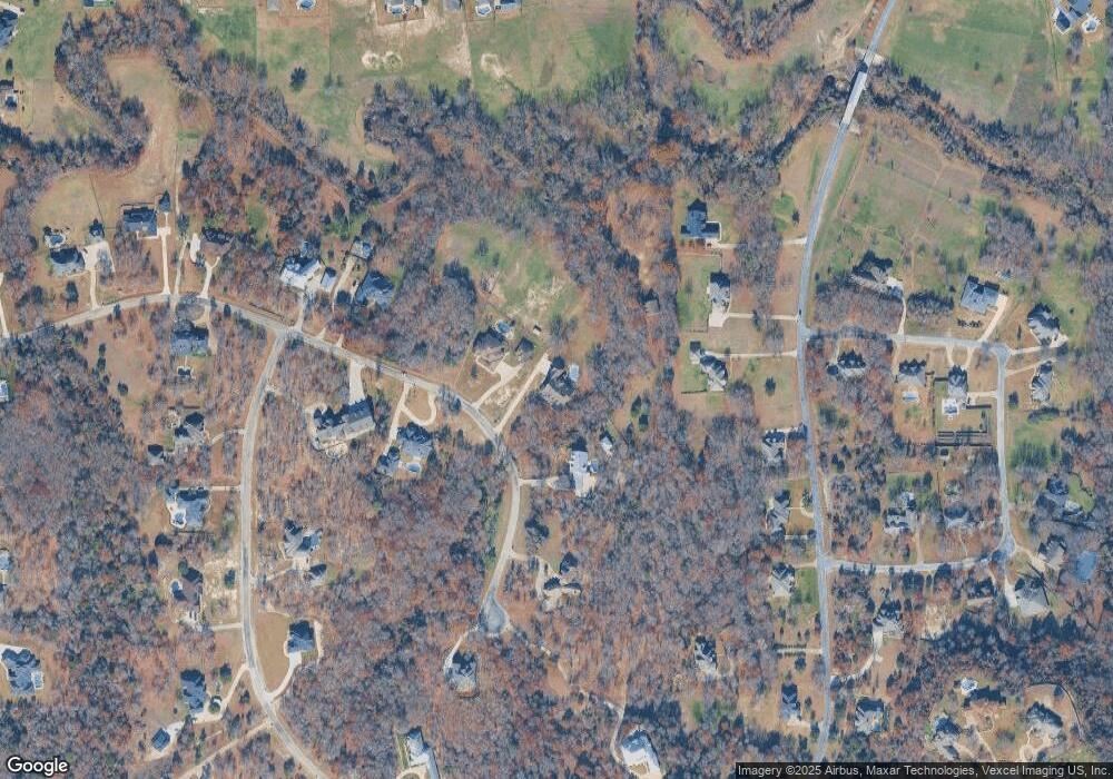
Map
Nearby Homes
- 141 E Bozeman Ln
- 100 Stone Canyon Cir
- 108 Stone Canyon Cir
- 175 N Boyce Ln
- 101 E Bozeman Ln
- 200 W Bozeman Ln
- 142 Crown Ridge Ct
- 900 Reese Ln
- 301 Silver Canyon Dr
- 313 Silver Canyon Dr
- 420 Cattlebaron Parc Dr
- 129 Lariat Ct
- 189 Stoney Ridge
- 1144 Boling Ranch Rd N
- 1144 Rd
- 694 Boling Ranch Rd
- 101 Creekpath Dr
- 813 Remuda Dr
- 125 Branding Iron Ct
- 138 Bluff Creek Rd
- 157 E Bozeman Ln
- 156 E Bozeman Ln
- 180 E Bozeman Ln
- 148 Covered Bridge Dr
- 156 Covered Bridge Dr
- 140 Covered Bridge Dr
- 181 E Bozeman Ln
- 117 E Bozeman Ln
- 141 E Bozeman Ln
- 107 Story Ln
- 134 Covered Bridge Dr
- 134 Covered Bridge Dr Unit DRIVE
- 164 Covered Bridge Dr
- 133 E Bozeman Ln
- 172 Covered Bridge Dr
- 172 Covered Bridge Dr Unit DRIVE
- 119 Story Ln
- 180 Covered Bridge Dr
- 192 E Bozeman Ln
- 9 Stone Canyon Cir