165 Eastside Rd Wrentham, MA 02093
Estimated Value: $443,000
3
Beds
2
Baths
1,219
Sq Ft
$363/Sq Ft
Est. Value
About This Home
This home is located at 165 Eastside Rd, Wrentham, MA 02093 and is currently priced at $443,000, approximately $363 per square foot. 165 Eastside Rd is a home located in Norfolk County with nearby schools including Delaney Elementary School and Charles E Roderick.
Ownership History
Date
Name
Owned For
Owner Type
Purchase Details
Closed on
Nov 17, 2020
Sold by
460 Eastside Road Llc
Bought by
165 Eastside Road Rt and Anderson
Current Estimated Value
Purchase Details
Closed on
Jul 24, 1981
Bought by
Miles Joseph and Miles Finola M
Create a Home Valuation Report for This Property
The Home Valuation Report is an in-depth analysis detailing your home's value as well as a comparison with similar homes in the area
Home Values in the Area
Average Home Value in this Area
Purchase History
| Date | Buyer | Sale Price | Title Company |
|---|---|---|---|
| 165 Eastside Road Rt | -- | None Available | |
| 165 Eastside Road Rt | -- | None Available | |
| Miles Joseph | $25,000 | -- |
Source: Public Records
Tax History Compared to Growth
Tax History
| Year | Tax Paid | Tax Assessment Tax Assessment Total Assessment is a certain percentage of the fair market value that is determined by local assessors to be the total taxable value of land and additions on the property. | Land | Improvement |
|---|---|---|---|---|
| 2025 | $580 | $50,000 | $50,000 | $0 |
| 2024 | $1,664 | $138,700 | $138,700 | $0 |
| 2023 | $1,591 | $126,100 | $126,100 | $0 |
| 2022 | $1,568 | $114,700 | $114,700 | $0 |
| 2021 | $1,614 | $114,700 | $114,700 | $0 |
| 2020 | $2,686 | $188,500 | $188,500 | $0 |
| 2019 | $2,662 | $188,500 | $188,500 | $0 |
| 2018 | $0 | $170,000 | $170,000 | $0 |
| 2017 | $0 | $166,700 | $166,700 | $0 |
| 2016 | $3,192 | $223,500 | $161,900 | $61,600 |
| 2015 | $3,176 | $212,000 | $155,600 | $56,400 |
| 2014 | $3,140 | $205,100 | $149,700 | $55,400 |
Source: Public Records
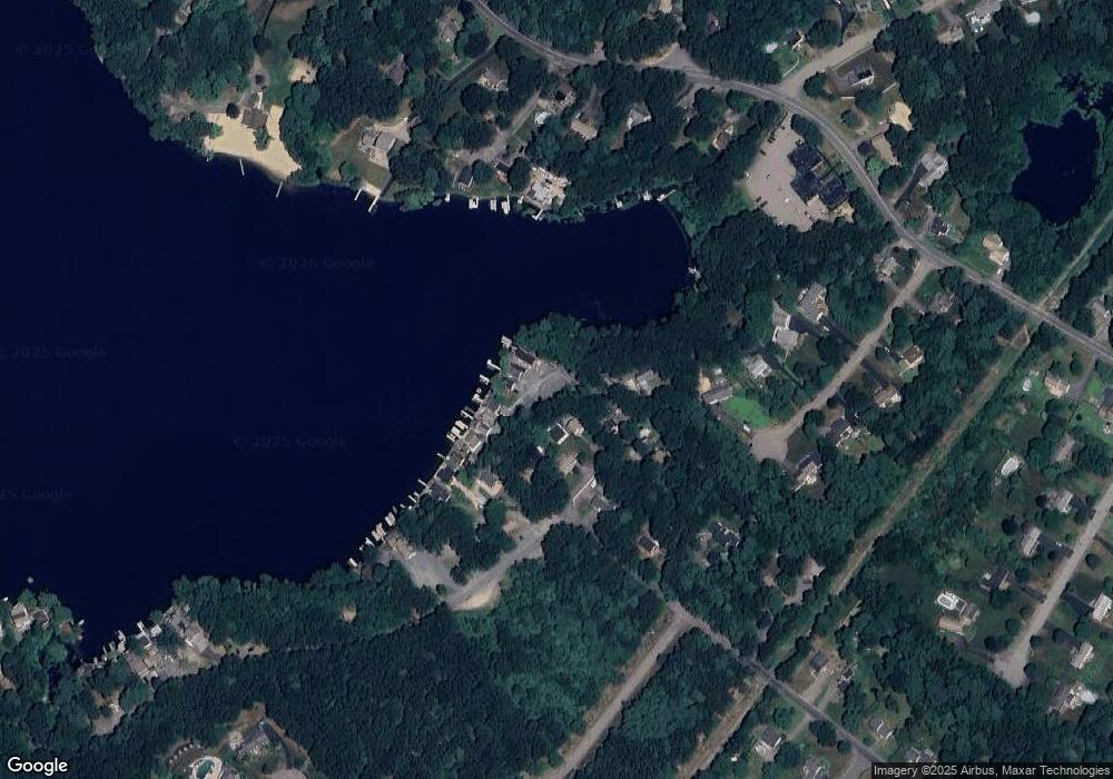
Map
Nearby Homes
- 131 Creek St Unit 7
- Lot 3 - 14 Earle Stewart Ln
- 11 Earle Stewart Ln
- Lot 1 - Blueberry 2 Car Plan at King Philip Estates
- Lot 8 - Blueberry 2 Car Plan at King Philip Estates
- Lot 5 - Hughes 2 car Plan at King Philip Estates
- Lot 6 - Blueberry 3 Car Plan at King Philip Estates
- Lot 2 - Camden 2 Car Plan at King Philip Estates
- Lot 7 - Cedar Plan at King Philip Estates
- Lot 4 - Hemingway 2 Car Plan at King Philip Estates
- Lot 3 - Blueberry 2 Car Plan at King Philip Estates
- 10 Nature View Dr
- 15 Nature View Dr
- 570 Franklin St
- 319 Taunton St
- 791 South St Unit 5
- 270 Dedham St
- 1 Lorraine Metcalf Dr
- 362 East St
- 50 Reed Fulton Ave Unit Lot 61
- 155 Eastside Rd
- 190 Eastside Rd
- 180 Eastside Rd
- 200 Eastside Rd
- 210 Eastside Rd
- 210 Eastside Rd Unit 1
- 340 Eastside Rd
- 150 Eastside Rd Unit 1
- 320 Eastside Rd
- 145 Eastside Rd
- 330 Eastside Rd
- 150 Eastside Rd
- 90 Robert Topham Dr
- 230 Eastside Rd
- 230 Eastside Rd
- 230 Eastside Rd Unit 230
- 240 Eastside Rd
- 240 Eastside Rd
- 250 Eastside Rd
- 245 Eastside Rd