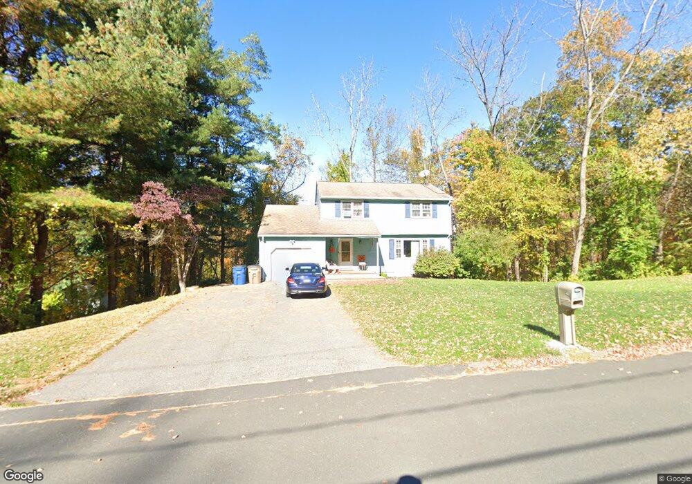
165 Echo Dr Vernon Rockville, CT 06066
North Vernon NeighborhoodEstimated Value: $406,000 - $431,000
3
Beds
3
Baths
1,687
Sq Ft
$247/Sq Ft
Est. Value
About This Home
This home is located at 165 Echo Dr, Vernon Rockville, CT 06066 and is currently estimated at $416,011, approximately $246 per square foot. 165 Echo Dr is a home located in Tolland County with nearby schools including Lake Street School, Vernon Center Middle School, and Rockville High School.
Ownership History
Date
Name
Owned For
Owner Type
Purchase Details
Closed on
Jun 29, 2000
Sold by
Walsh Kevin and Walsh Kimberly
Bought by
Franceschi Anthony and Figueria Carmen
Current Estimated Value
Home Financials for this Owner
Home Financials are based on the most recent Mortgage that was taken out on this home.
Original Mortgage
$163,800
Interest Rate
8.59%
Purchase Details
Closed on
Jun 30, 1997
Sold by
Poehnert David and Maxwell Bonnie
Bought by
Walsh Kevin and Walsh Kimberly
Home Financials for this Owner
Home Financials are based on the most recent Mortgage that was taken out on this home.
Original Mortgage
$120,650
Interest Rate
7.81%
Mortgage Type
Unknown
Purchase Details
Closed on
Dec 3, 1991
Sold by
Peake J Susan and Peake Ronald
Bought by
Poehnert David and Maxwell Bonnie
Create a Home Valuation Report for This Property
The Home Valuation Report is an in-depth analysis detailing your home's value as well as a comparison with similar homes in the area
Home Values in the Area
Average Home Value in this Area
Purchase History
| Date | Buyer | Sale Price | Title Company |
|---|---|---|---|
| Franceschi Anthony | $163,900 | -- | |
| Walsh Kevin | $127,000 | -- | |
| Poehnert David | $155,000 | -- |
Source: Public Records
Mortgage History
| Date | Status | Borrower | Loan Amount |
|---|---|---|---|
| Open | Poehnert David | $215,687 | |
| Closed | Poehnert David | $161,800 | |
| Closed | Poehnert David | $163,800 | |
| Previous Owner | Poehnert David | $120,650 |
Source: Public Records
Tax History Compared to Growth
Tax History
| Year | Tax Paid | Tax Assessment Tax Assessment Total Assessment is a certain percentage of the fair market value that is determined by local assessors to be the total taxable value of land and additions on the property. | Land | Improvement |
|---|---|---|---|---|
| 2025 | $6,284 | $174,130 | $51,310 | $122,820 |
| 2024 | $6,110 | $174,130 | $51,310 | $122,820 |
| 2023 | $5,814 | $174,130 | $51,310 | $122,820 |
| 2022 | $5,814 | $174,130 | $51,310 | $122,820 |
| 2021 | $5,796 | $146,250 | $49,910 | $96,340 |
| 2020 | $5,796 | $146,250 | $49,910 | $96,340 |
| 2019 | $5,796 | $146,250 | $49,910 | $96,340 |
| 2018 | $5,796 | $146,250 | $49,910 | $96,340 |
| 2017 | $5,661 | $146,250 | $49,910 | $96,340 |
| 2016 | $6,063 | $159,420 | $58,590 | $100,830 |
| 2015 | $6,063 | $159,420 | $58,590 | $100,830 |
| 2014 | $5,757 | $159,420 | $58,590 | $100,830 |
Source: Public Records
Map
Nearby Homes
- 48 Rainbow Trail
- 30 Brent Dr
- 10 Danny Trail
- 22 Scott Dr
- 510 Tunnel Rd
- 676 Bolton Rd
- 4 Susan Rd
- 162 Deer Run Trail
- 5 Leo J Ln
- 27 Bentley Dr
- 49 Vernon Rd
- 6 Elizabeth Ln Unit 3
- 32 Church St
- 68 Deer Run Trail
- 62 Deer Run Trail
- 7 Laurelwood Ln Unit Lot 15
- 12 Laurelwood Ln Unit lot 8
- 1 Laurelwood Ln Unit LOT 18
- 20 Whitney Ferguson Rd Unit 18
- 104 Cemetary Rd