165 High Pointe Dr Unit 166 Hummelstown, PA 17036
Estimated Value: $388,000 - $420,163
2
Beds
3
Baths
1,892
Sq Ft
$212/Sq Ft
Est. Value
About This Home
This home is located at 165 High Pointe Dr Unit 166, Hummelstown, PA 17036 and is currently estimated at $401,041, approximately $211 per square foot. 165 High Pointe Dr Unit 166 is a home located in Dauphin County with nearby schools including Hershey Elementary School, Hershey Primary Elementary School, and Hershey Middle School.
Ownership History
Date
Name
Owned For
Owner Type
Purchase Details
Closed on
Aug 15, 2024
Sold by
High Pointe Idp Partners Llc
Bought by
Watkins John Larry and Watkins Kelly
Current Estimated Value
Home Financials for this Owner
Home Financials are based on the most recent Mortgage that was taken out on this home.
Original Mortgage
$390,000
Outstanding Balance
$385,238
Interest Rate
6.47%
Mortgage Type
VA
Estimated Equity
$15,803
Purchase Details
Closed on
Jun 30, 2016
Sold by
First National Bank
Bought by
Nish Hershey Llc
Home Financials for this Owner
Home Financials are based on the most recent Mortgage that was taken out on this home.
Original Mortgage
$1,200,000
Interest Rate
3.58%
Mortgage Type
Future Advance Clause Open End Mortgage
Create a Home Valuation Report for This Property
The Home Valuation Report is an in-depth analysis detailing your home's value as well as a comparison with similar homes in the area
Home Values in the Area
Average Home Value in this Area
Purchase History
| Date | Buyer | Sale Price | Title Company |
|---|---|---|---|
| Watkins John Larry | $390,000 | Navy Federal Title | |
| Nish Hershey Llc | $1,650,000 | Attorney |
Source: Public Records
Mortgage History
| Date | Status | Borrower | Loan Amount |
|---|---|---|---|
| Open | Watkins John Larry | $390,000 | |
| Previous Owner | Nish Hershey Llc | $1,200,000 |
Source: Public Records
Tax History Compared to Growth
Tax History
| Year | Tax Paid | Tax Assessment Tax Assessment Total Assessment is a certain percentage of the fair market value that is determined by local assessors to be the total taxable value of land and additions on the property. | Land | Improvement |
|---|---|---|---|---|
| 2025 | $7,932 | $253,800 | $38,800 | $215,000 |
| 2024 | $7,455 | $253,800 | $38,800 | $215,000 |
| 2023 | $7,322 | $253,800 | $38,800 | $215,000 |
| 2022 | $7,160 | $253,800 | $38,800 | $215,000 |
| 2021 | $6,816 | $241,600 | $26,600 | $215,000 |
| 2020 | $6,816 | $241,600 | $26,600 | $215,000 |
| 2019 | $6,692 | $241,600 | $26,600 | $215,000 |
| 2018 | $6,515 | $241,600 | $26,600 | $215,000 |
| 2017 | $6,515 | $241,600 | $26,600 | $215,000 |
| 2016 | $0 | $241,600 | $26,600 | $215,000 |
| 2015 | -- | $26,600 | $26,600 | $0 |
| 2014 | -- | $26,600 | $26,600 | $0 |
Source: Public Records
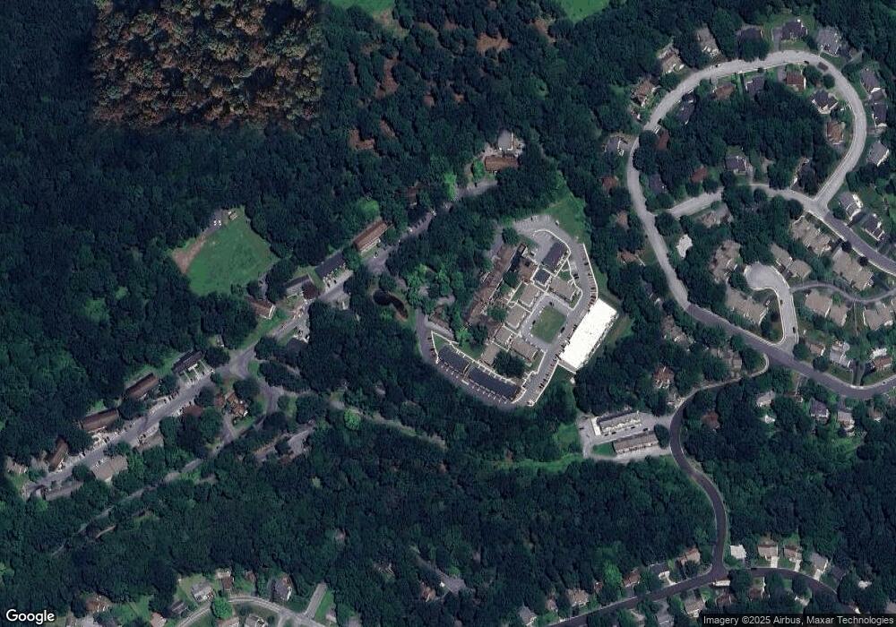
Map
Nearby Homes
- 159 High Pointe Dr
- 124 High Pointe Dr Unit 35
- 123 High Pointe Dr Unit 36
- 162 High Pointe Dr
- 875 Verden Dr
- 817 Appenzell Dr
- 954 Debra Dr
- 908 Sunnyside Rd
- 761 Zermatt Dr
- 612 Olde Ventura Farm Rd
- 931 Hill Church Rd
- 1300 Sand Hill Rd
- 1180 Sand Hill Rd
- 1170 Sand Hill Rd
- 547 Roslaire Dr
- 579 Roslaire Dr
- 1200 Jill Dr
- 21 Laurel Ridge Rd
- 0 Hill Church Rd
- 60 S Hills Dr
- 165 High Pointe Dr
- 164 High Pointe Dr Unit 164
- 164 High Pointe Dr
- 166 High Pointe Dr
- 101 High Pointe Dr
- 163 High Pointe Dr
- 126 High Pointe Dr
- 126 High Pointe Dr Unit 13
- 125 High Pointe Dr Unit 12
- 102 High Pointe Dr
- 161 High Pointe Dr Unit 14
- 124 High Pointe Dr Unit 37
- 124 High Pointe Dr
- 160 High Pointe Dr Unit 15
- 158 High Pointe Dr
- 158 High Pointe Dr Unit 17
- 157 High Pointe Dr Unit 18
- 156 High Pointe Dr Unit 19
- 159 High Pointe Dr Unit 16
- 123 High Pointe Dr