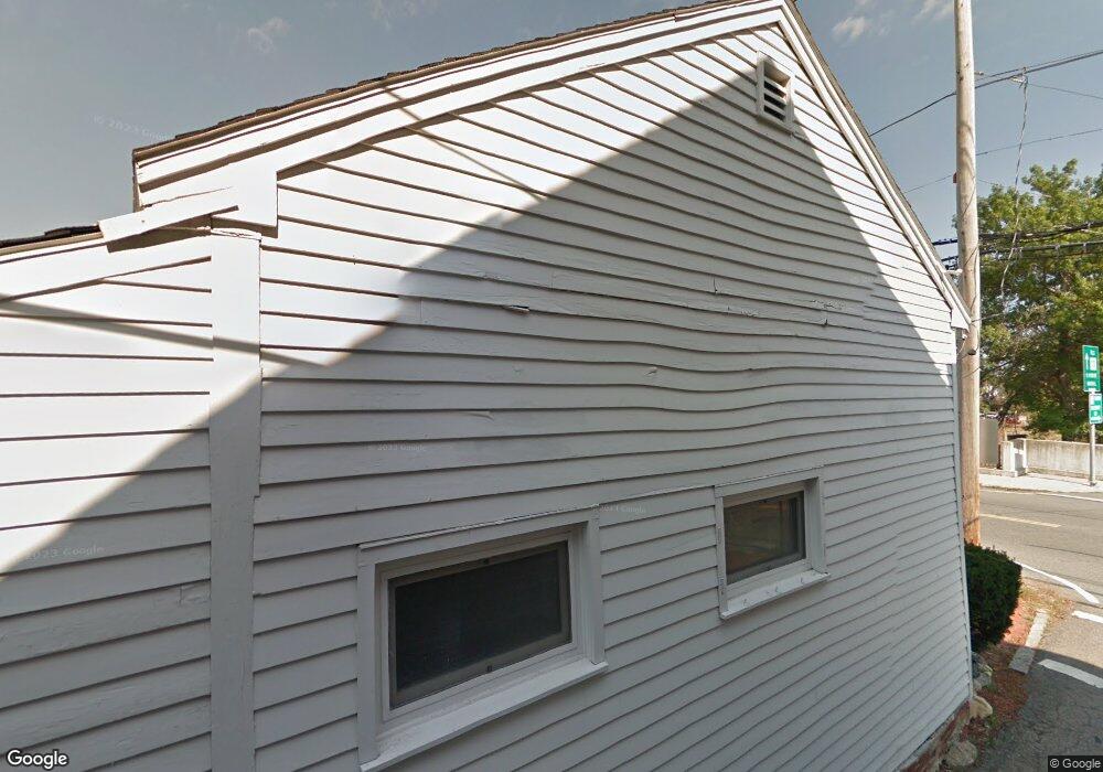
165 High St Newburyport, MA 01950
Estimated Value: $671,891
--
Bed
1
Bath
1,248
Sq Ft
$538/Sq Ft
Est. Value
About This Home
This home is located at 165 High St, Newburyport, MA 01950 and is currently estimated at $671,891, approximately $538 per square foot. 165 High St is a home located in Essex County with nearby schools including Francis T. Bresnahan Elementary School, Edward G. Molin Elementary School, and Rupert A. Nock Middle School.
Ownership History
Date
Name
Owned For
Owner Type
Purchase Details
Closed on
Jul 29, 2022
Sold by
Benson Holdings Llc
Bought by
Port Development Llc
Current Estimated Value
Purchase Details
Closed on
Sep 5, 2007
Sold by
Asgeirsson Arni G and Asgeirsson Ruth E
Bought by
Benson Holdings Llc
Purchase Details
Closed on
Apr 24, 2001
Sold by
High St Rt and Coyne Victoria
Bought by
Asgeirsson Arni G and Asgeirsson Ruth E
Purchase Details
Closed on
Sep 5, 1996
Sold by
Jj&T Rt and Webber Michael A
Bought by
165 High Street Rt and Bostick H David
Create a Home Valuation Report for This Property
The Home Valuation Report is an in-depth analysis detailing your home's value as well as a comparison with similar homes in the area
Home Values in the Area
Average Home Value in this Area
Purchase History
| Date | Buyer | Sale Price | Title Company |
|---|---|---|---|
| Port Development Llc | $535,000 | None Available | |
| Benson Holdings Llc | $400,000 | -- | |
| Benson Holdings Llc | $400,000 | -- | |
| Asgeirsson Arni G | $250,000 | -- | |
| Asgeirsson Arni G | $250,000 | -- | |
| 165 High Street Rt | $155,000 | -- | |
| 165 High Street Rt | $155,000 | -- |
Source: Public Records
Mortgage History
| Date | Status | Borrower | Loan Amount |
|---|---|---|---|
| Previous Owner | 165 High Street Rt | $209,000 | |
| Previous Owner | 165 High Street Rt | $575,000 |
Source: Public Records
Tax History Compared to Growth
Tax History
| Year | Tax Paid | Tax Assessment Tax Assessment Total Assessment is a certain percentage of the fair market value that is determined by local assessors to be the total taxable value of land and additions on the property. | Land | Improvement |
|---|---|---|---|---|
| 2025 | $4,520 | $471,800 | $316,800 | $155,000 |
| 2024 | $4,319 | $433,200 | $301,700 | $131,500 |
| 2023 | $4,334 | $403,500 | $274,300 | $129,200 |
| 2022 | $4,846 | $403,500 | $274,300 | $129,200 |
| 2021 | $5,325 | $421,300 | $274,300 | $147,000 |
| 2020 | $5,409 | $421,300 | $274,300 | $147,000 |
| 2019 | $5,295 | $404,800 | $274,300 | $130,500 |
| 2018 | $5,145 | $388,000 | $261,300 | $126,700 |
| 2017 | $5,050 | $375,500 | $248,800 | $126,700 |
| 2016 | $4,835 | $361,100 | $237,000 | $124,100 |
| 2015 | $4,782 | $358,500 | $237,000 | $121,500 |
Source: Public Records
Map
Nearby Homes
- 41 Washington St Unit B
- 44 Washington St Unit C
- 2 Court St Unit 4
- 45 Boardman St Unit 1
- 14 Dexter Ln Unit B
- 14 Dexter Ln Unit A
- 1 Hill St
- 1 Hill St Unit 1
- 58 Merrimac St Unit 2-5
- 158 Merrimac St Unit 3
- 105 State St Unit 301
- 105 State St Unit 101
- 105 State St Unit 201
- 95 High St Unit 4
- 95 High St Unit 1
- 126 Merrimac St Unit 35
- 126 Merrimac St Unit 31
- 10 10th St
- 11 Charter St
- 27 Warren St Unit 1
- 4 Vernon Ct
- 2-4 Vernon Ct
- 2 Vernon Ct
- 2-4 Vernon Ct Unit 2
- 2 Vernon Ct Unit 1
- 4 Vernon Ct Unit 2
- 163 High St
- 163 High St Unit 1
- 163 High St Unit 2
- 163 High St Unit B
- 161 High St
- 161 U S 1 Unit D
- 161 U S 1 Unit B
- 161 U S 1 Unit A
- 161 U S 1 Unit D
- 161 U S 1 Unit C
- 159 High St
- 3 Vernon Ct
- 157 High St
- 157 High St Unit 157