Estimated Value: $296,000 - $321,520
3
Beds
3
Baths
1,643
Sq Ft
$190/Sq Ft
Est. Value
About This Home
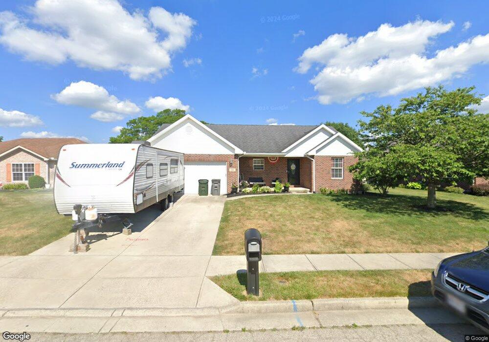
This home is located at 165 Jean Cir, Troy, OH 45373 and is currently estimated at $312,630, approximately $190 per square foot. 165 Jean Cir is a home located in Miami County with nearby schools including Hook Elementary School, Troy Junior High School, and Van Cleve Elementary School.
Ownership History
Date
Name
Owned For
Owner Type
Purchase Details
Closed on
Dec 16, 2009
Sold by
Liette Edwin L and Liette Jean A
Bought by
Farrow Michael J
Current Estimated Value
Home Financials for this Owner
Home Financials are based on the most recent Mortgage that was taken out on this home.
Original Mortgage
$139,428
Outstanding Balance
$91,501
Interest Rate
5.02%
Mortgage Type
FHA
Estimated Equity
$221,129
Purchase Details
Closed on
Aug 9, 2007
Sold by
Ed Liette Realty Inc
Bought by
Liette Edwin L
Create a Home Valuation Report for This Property
The Home Valuation Report is an in-depth analysis detailing your home's value as well as a comparison with similar homes in the area
Home Values in the Area
Average Home Value in this Area
Purchase History
| Date | Buyer | Sale Price | Title Company |
|---|---|---|---|
| Farrow Michael J | $142,000 | -- | |
| Liette Edwin L | -- | -- |
Source: Public Records
Mortgage History
| Date | Status | Borrower | Loan Amount |
|---|---|---|---|
| Open | Liette Edwin L | $139,428 |
Source: Public Records
Tax History
| Year | Tax Paid | Tax Assessment Tax Assessment Total Assessment is a certain percentage of the fair market value that is determined by local assessors to be the total taxable value of land and additions on the property. | Land | Improvement |
|---|---|---|---|---|
| 2024 | $3,400 | $79,910 | $16,310 | $63,600 |
| 2023 | $3,012 | $76,720 | $16,310 | $60,410 |
| 2022 | $2,409 | $76,720 | $16,310 | $60,410 |
| 2021 | $2,075 | $62,790 | $16,310 | $46,480 |
| 2020 | $2,078 | $62,790 | $16,310 | $46,480 |
| 2019 | $2,097 | $62,790 | $16,310 | $46,480 |
| 2018 | $1,809 | $52,120 | $11,870 | $40,250 |
| 2017 | $1,829 | $52,120 | $11,870 | $40,250 |
| 2016 | $1,801 | $52,120 | $11,870 | $40,250 |
| 2015 | $1,808 | $50,120 | $11,410 | $38,710 |
| 2014 | $1,808 | $50,120 | $11,410 | $38,710 |
| 2013 | $1,819 | $50,120 | $11,410 | $38,710 |
Source: Public Records
Map
Nearby Homes
- 541 Northpoint Ct
- 2659 Stonebridge
- 2365 Murphy Ln W
- 2290 Murphy Ln E
- 622 Windsor Rd
- 1248 Waterbury Place
- 867 Gearhardt Ln
- 2273 Lytle Rd
- 2279 Lytle Rd
- 2261 Lytle Rd
- 2359 Lytle Rd
- Birch Plan at Addison Landing - Single Family Homes
- Tupelo Plan at Addison Landing - Single Family Homes
- Hazel Plan at Addison Landing - Single Family Homes
- Elder Plan at Addison Landing - Single Family Homes
- Aspen Plan at Addison Landing - Single Family Homes
- Cedar Plan at Addison Landing - Single Family Homes
- 3318 Heatherstone Dr
- 1112 Red Maple Dr
- 1360 Croydon Rd
- 155 Jean Cir
- 2631 New Castle Dr
- 2523 New Castle Dr
- 145 Jean Cir
- 2526 Aberdeen Ct
- 2521 New Castle Dr
- 160 Jean Cir
- 2528 Aberdeen Ct
- 150 Jean Cir
- 135 Jean Cir
- 170 Jean Cir
- 2600 New Castle Dr
- 140 Jean Cir
- 2524 Aberdeen Ct
- 2630 New Castle Dr
- 2516 New Castle Dr
- 2519 New Castle Dr
- 125 Jean Cir
- 2650 New Castle Dr
- 130 Jean Cir