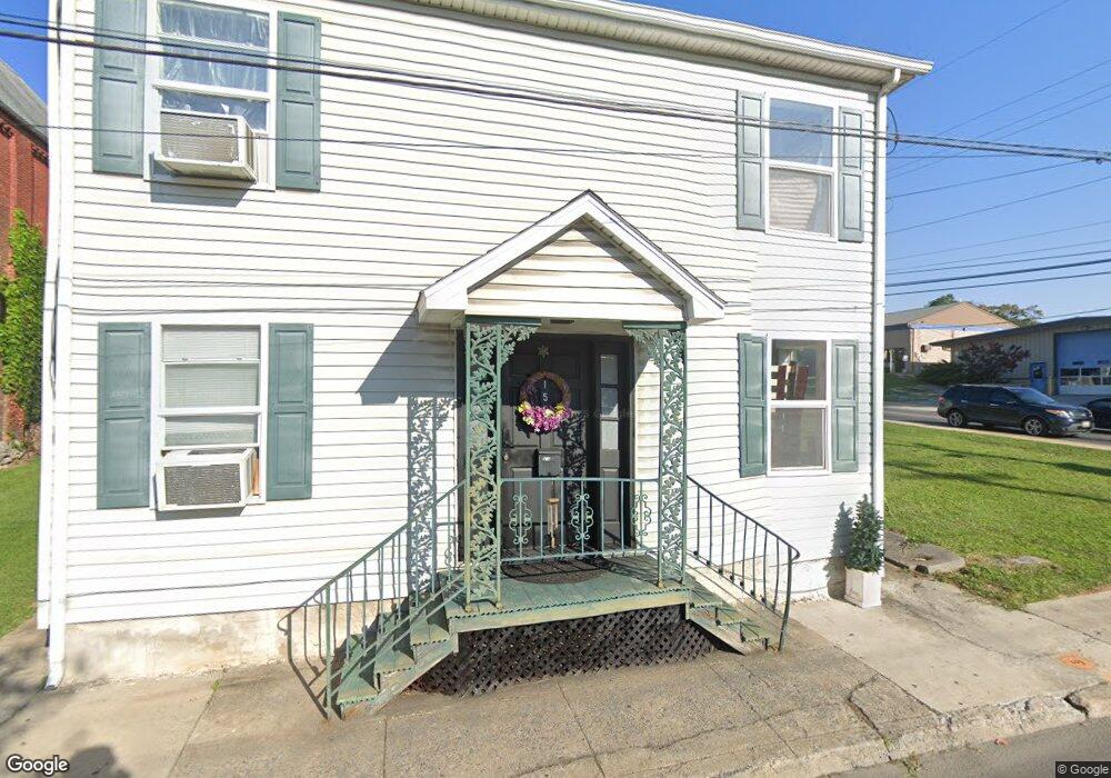
165 Jonathan St Hagerstown, MD 21740
Central NeighborhoodEstimated Value: $51,000 - $551,000
Studio
1
Bath
1,280
Sq Ft
$238/Sq Ft
Est. Value
About This Home
This home is located at 165 Jonathan St, Hagerstown, MD 21740 and is currently estimated at $304,000, approximately $237 per square foot. 165 Jonathan St is a home located in Washington County with nearby schools including Ruth Ann Monroe Primary School, Eastern Elementary School, and Western Heights Middle School.
Ownership History
Date
Name
Owned For
Owner Type
Purchase Details
Closed on
Aug 16, 2017
Sold by
Stoner Thomas H
Bought by
Brown Tracey Y
Current Estimated Value
Purchase Details
Closed on
Feb 6, 2001
Sold by
Mosby Lenzlea F and Mosby Carrie A
Bought by
Stoner Thomas H
Purchase Details
Closed on
Mar 15, 1989
Sold by
Mosby Lenzlea F
Bought by
Mosby Lenzlea F and Mosby Carrie A
Home Financials for this Owner
Home Financials are based on the most recent Mortgage that was taken out on this home.
Original Mortgage
$16,000
Interest Rate
10.86%
Create a Home Valuation Report for This Property
The Home Valuation Report is an in-depth analysis detailing your home's value as well as a comparison with similar homes in the area
Home Values in the Area
Average Home Value in this Area
Purchase History
| Date | Buyer | Sale Price | Title Company |
|---|---|---|---|
| Brown Tracey Y | -- | None Available | |
| Stoner Thomas H | $3,300 | -- | |
| Mosby Lenzlea F | $15,000 | -- |
Source: Public Records
Mortgage History
| Date | Status | Borrower | Loan Amount |
|---|---|---|---|
| Previous Owner | Mosby Lenzlea F | $16,000 |
Source: Public Records
Tax History
| Year | Tax Paid | Tax Assessment Tax Assessment Total Assessment is a certain percentage of the fair market value that is determined by local assessors to be the total taxable value of land and additions on the property. | Land | Improvement |
|---|---|---|---|---|
| 2025 | $91 | $10,000 | $10,000 | $0 |
| 2024 | $91 | $10,000 | $10,000 | $0 |
| 2023 | $91 | $10,000 | $10,000 | $0 |
| 2022 | $91 | $10,000 | $10,000 | $0 |
| 2021 | $100 | $10,000 | $10,000 | $0 |
| 2020 | $93 | $10,000 | $10,000 | $0 |
| 2019 | $94 | $10,000 | $10,000 | $0 |
| 2018 | $100 | $10,000 | $10,000 | $0 |
| 2017 | $94 | $10,000 | $0 | $0 |
| 2016 | -- | $10,000 | $0 | $0 |
| 2015 | $172 | $10,000 | $0 | $0 |
| 2014 | $172 | $10,000 | $0 | $0 |
Source: Public Records
Map
Nearby Homes
- 133 Bethel St
- 58 Bethel St
- 22 Bethel St Unit 24
- 320 N Prospect St
- 421 Salem Ave
- 39 E North Ave
- 428 Cook St
- 446 N Prospect St
- 434 W Franklin St
- 115 East Ave
- 500 Salem Ave
- 49 Charles St
- 36 High St
- 133 Randolph Ave
- 25 S Locust St
- 142 East Ave
- 120 John St
- 520 W Church St
- 132 Randolph Ave
- 408 Mitchell Ave
- 159 Jonathan 161 St
- 159 Jonathan St
- 103 W Church St
- 107 W Church St
- 109 W Church St
- 111 W Church St
- 113 W Church St
- 115 W Church St
- 200 Jonathan St
- 117 W Church St
- 136 Wellers Aly
- 204 Jonathan St
- 156 Jonathan St
- 136 150 Jonathan 150 St
- 120 W Church St
- 206 Jonathan St
- 150 Jonathan St
- 189 Berkson Ave
- 187 Berkson Ave
- 177 Berkson Ave
Your Personal Tour Guide
Ask me questions while you tour the home.