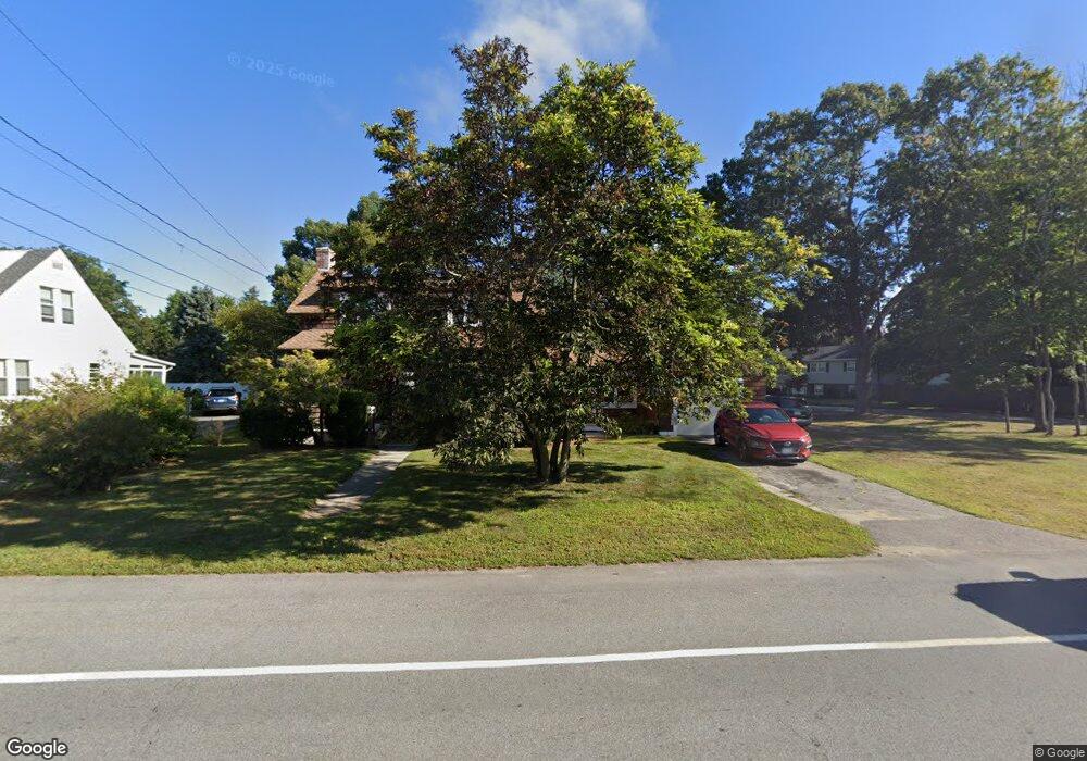
165 Long St Warwick, RI 02886
Nausauket NeighborhoodEstimated Value: $376,000 - $418,694
3
Beds
2
Baths
1,408
Sq Ft
$283/Sq Ft
Est. Value
About This Home
This home is located at 165 Long St, Warwick, RI 02886 and is currently estimated at $397,924, approximately $282 per square foot. 165 Long St is a home located in Kent County with nearby schools including St Rose Of Lima School and Eleanor Briggs School.
Ownership History
Date
Name
Owned For
Owner Type
Purchase Details
Closed on
Jul 1, 2010
Sold by
Parker Richard A Est and Sturdahl
Bought by
Carpenter David H and Carpenter Barbara N
Current Estimated Value
Home Financials for this Owner
Home Financials are based on the most recent Mortgage that was taken out on this home.
Original Mortgage
$139,175
Interest Rate
4.88%
Mortgage Type
Purchase Money Mortgage
Create a Home Valuation Report for This Property
The Home Valuation Report is an in-depth analysis detailing your home's value as well as a comparison with similar homes in the area
Home Values in the Area
Average Home Value in this Area
Purchase History
| Date | Buyer | Sale Price | Title Company |
|---|---|---|---|
| Carpenter David H | $146,500 | -- | |
| Parker Richard A Est | -- | -- |
Source: Public Records
Mortgage History
| Date | Status | Borrower | Loan Amount |
|---|---|---|---|
| Open | Parker Richard A Est | $30,000 | |
| Open | Parker Richard A Est | $137,559 | |
| Closed | Parker Richard A Est | $139,175 |
Source: Public Records
Tax History
| Year | Tax Paid | Tax Assessment Tax Assessment Total Assessment is a certain percentage of the fair market value that is determined by local assessors to be the total taxable value of land and additions on the property. | Land | Improvement |
|---|---|---|---|---|
| 2025 | $4,401 | $346,500 | $121,600 | $224,900 |
| 2024 | $4,073 | $281,500 | $101,800 | $179,700 |
| 2023 | $3,729 | $262,800 | $101,800 | $161,000 |
| 2022 | $3,755 | $200,500 | $77,700 | $122,800 |
| 2021 | $3,755 | $200,500 | $77,700 | $122,800 |
| 2020 | $3,755 | $200,500 | $77,700 | $122,800 |
| 2019 | $3,755 | $200,500 | $77,700 | $122,800 |
| 2018 | $3,353 | $161,200 | $77,700 | $83,500 |
| 2017 | $3,263 | $161,200 | $77,700 | $83,500 |
| 2016 | $3,263 | $161,200 | $77,700 | $83,500 |
| 2015 | $3,386 | $163,200 | $70,300 | $92,900 |
| 2014 | $3,274 | $163,200 | $70,300 | $92,900 |
| 2013 | $3,230 | $163,200 | $70,300 | $92,900 |
Source: Public Records
Map
Nearby Homes
- 132 Bakers Creek Rd
- 11 Midway Dr
- 20 Darrow Dr
- 15 Abbott Ave
- 110 Tiernan Ave
- 345 Nausauket Rd
- 78 Keeley Ave
- 62 Red Maple Ln
- 86 Red Maple Ln
- 67 Child Ln
- 38 Red Maple Ln
- 3524 W Shore Rd Unit 503
- 3524 W Shore Rd Unit 215
- 311 Capron Farm Dr
- 161 Sunny Cove Dr
- 74 Stephens Ave
- 45 Tourtelot Ave
- 62 Stone Ave
- 151 Wethersfield Dr
- 44 Westbrook Rd
Your Personal Tour Guide
Ask me questions while you tour the home.