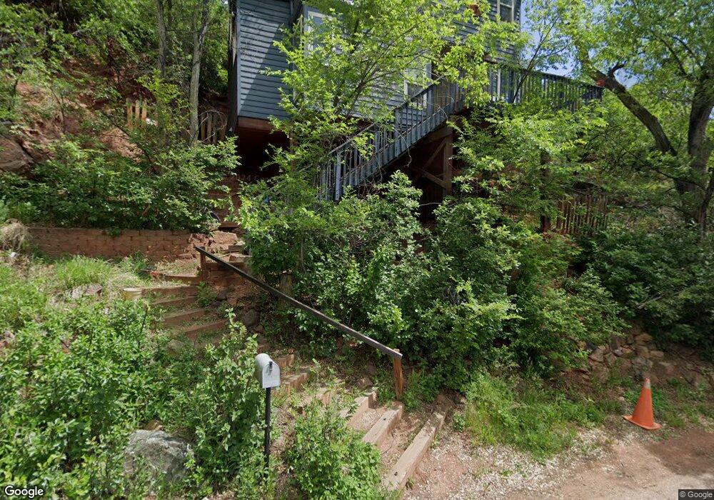
165 Lovers Ln Manitou Springs, CO 80829
Estimated Value: $446,000 - $590,000
2
Beds
2
Baths
1,276
Sq Ft
$381/Sq Ft
Est. Value
About This Home
This home is located at 165 Lovers Ln, Manitou Springs, CO 80829 and is currently estimated at $486,528, approximately $381 per square foot. 165 Lovers Ln is a home located in El Paso County with nearby schools including Manitou Springs Elementary School, Manitou Springs Middle School, and Manitou Springs High School.
Ownership History
Date
Name
Owned For
Owner Type
Purchase Details
Closed on
Mar 19, 2004
Sold by
Ferguson Randy
Bought by
Ferguson Randy S and Ferguson Irene S
Current Estimated Value
Home Financials for this Owner
Home Financials are based on the most recent Mortgage that was taken out on this home.
Original Mortgage
$125,675
Interest Rate
5.59%
Mortgage Type
New Conventional
Purchase Details
Closed on
Jun 29, 2001
Sold by
Stomierowski Peg M
Bought by
Ferguson Randy
Home Financials for this Owner
Home Financials are based on the most recent Mortgage that was taken out on this home.
Original Mortgage
$125,000
Interest Rate
6.62%
Create a Home Valuation Report for This Property
The Home Valuation Report is an in-depth analysis detailing your home's value as well as a comparison with similar homes in the area
Home Values in the Area
Average Home Value in this Area
Purchase History
| Date | Buyer | Sale Price | Title Company |
|---|---|---|---|
| Ferguson Randy S | -- | Land Title | |
| Ferguson Randy | $176,000 | Security Title |
Source: Public Records
Mortgage History
| Date | Status | Borrower | Loan Amount |
|---|---|---|---|
| Previous Owner | Ferguson Randy S | $125,675 | |
| Previous Owner | Ferguson Randy | $125,000 |
Source: Public Records
Tax History Compared to Growth
Tax History
| Year | Tax Paid | Tax Assessment Tax Assessment Total Assessment is a certain percentage of the fair market value that is determined by local assessors to be the total taxable value of land and additions on the property. | Land | Improvement |
|---|---|---|---|---|
| 2025 | $2,088 | $32,940 | -- | -- |
| 2024 | $1,908 | $32,150 | $3,540 | $28,610 |
| 2022 | $1,882 | $25,460 | $3,340 | $22,120 |
| 2021 | $1,962 | $26,190 | $3,430 | $22,760 |
| 2020 | $1,717 | $21,840 | $2,860 | $18,980 |
| 2019 | $1,824 | $21,840 | $2,860 | $18,980 |
| 2018 | $1,690 | $19,210 | $2,220 | $16,990 |
| 2017 | $1,494 | $19,210 | $2,220 | $16,990 |
| 2016 | $1,513 | $19,440 | $2,230 | $17,210 |
| 2015 | $1,495 | $19,440 | $2,230 | $17,210 |
| 2014 | $1,290 | $17,830 | $1,970 | $15,860 |
Source: Public Records
Map
Nearby Homes
- 103 Deer Path Ave
- 105 Pawnee Ave
- 34 Fountain Place
- 478 El Paso Blvd
- 135 South Path
- LOTS 1-10 Peakview Blvd
- 527 Canon Ave
- 529 Canon Ave
- 427 Bond St
- 128 Cave Ave
- 136 Cave Ave
- 0 Charcas Rd Unit REC3377987
- 0 Charcas Rd Unit 1024513
- 140 Cave Ave
- 0 Manitou Terrace
- 1107 Manitou Ave
- 125 Ruxton Ave
- 1117 Manitou Ave
- 153 Capitol Hill Ave
- 151 Ruxton Ave
- 131 Washington Ave
- 0 Panorama Place
- 00 Washington Ave
- 120 Panorama Place
- 415 Washington Ave
- 423 Washington Ave
- 419 Washington Ave
- 421 Washington Ave
- 417 Washington Ave
- 150 Panorama Place
- 0 Washington Ave
- 413 Washington Ave
- 110 Panorama Place
- 409 Washington Ave
- 109 Washington Ave
- 121 Lovers Ln
- 30 Burns Rd
- 407 Washington Ave
- 640 Manitou Ave
- 640 Manitou Ave