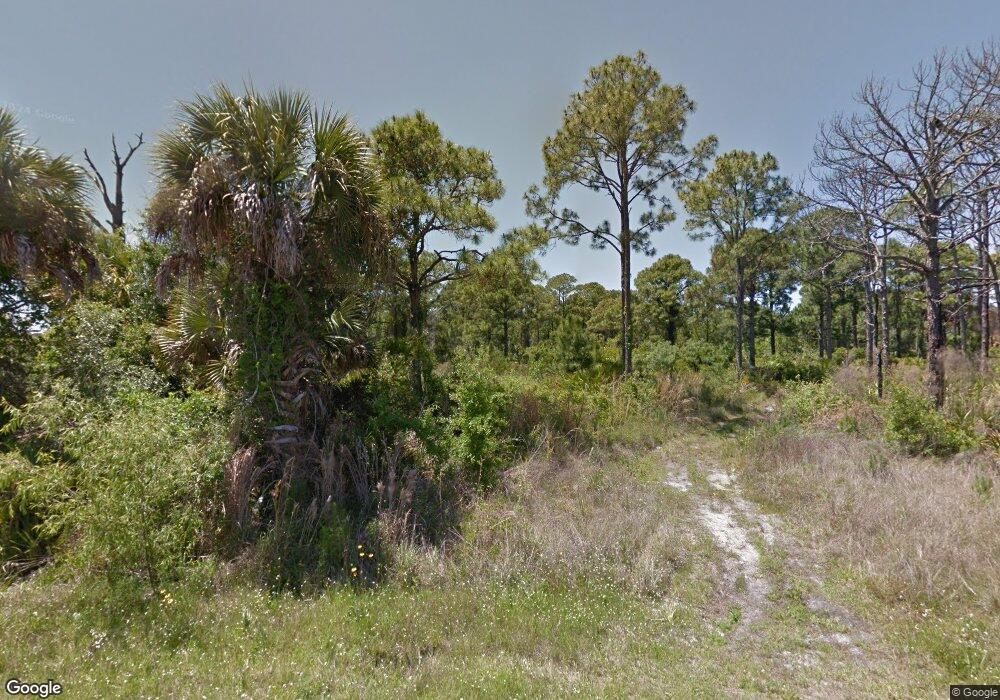
165 Maltby St Port Charlotte, FL 33953
Northwest Port Charlotte NeighborhoodEstimated Value: $340,000 - $480,000
3
Beds
2
Baths
1,554
Sq Ft
$256/Sq Ft
Est. Value
About This Home
This home is located at 165 Maltby St, Port Charlotte, FL 33953 and is currently estimated at $397,913, approximately $256 per square foot. 165 Maltby St is a home with nearby schools including Liberty Elementary School, Murdock Middle School, and Port Charlotte High School.
Ownership History
Date
Name
Owned For
Owner Type
Purchase Details
Closed on
Jun 29, 2015
Sold by
Phillips Andrew W and Reutcke Sean M
Bought by
Sherrill Steven C and Sherrill Sarah
Current Estimated Value
Purchase Details
Closed on
Apr 6, 2012
Sold by
Gms Realty Llc
Bought by
Phillips Andrew W and Reutcke Sean M
Purchase Details
Closed on
Aug 23, 2004
Sold by
Puskas Paul and Puskas Jacquelin
Bought by
Gms Realty Llc
Purchase Details
Closed on
Feb 24, 2003
Sold by
Jellison Cynthia Doyle
Bought by
Puskas Paul and Puskas Jacquelin
Create a Home Valuation Report for This Property
The Home Valuation Report is an in-depth analysis detailing your home's value as well as a comparison with similar homes in the area
Home Values in the Area
Average Home Value in this Area
Purchase History
| Date | Buyer | Sale Price | Title Company |
|---|---|---|---|
| Sherrill Steven C | $20,000 | Burnt Store Title & Escrow L | |
| Phillips Andrew W | $10,000 | Attorney | |
| Gms Realty Llc | $80,000 | Banyan Title Of Florida Llc | |
| Puskas Paul | $12,000 | -- |
Source: Public Records
Tax History Compared to Growth
Tax History
| Year | Tax Paid | Tax Assessment Tax Assessment Total Assessment is a certain percentage of the fair market value that is determined by local assessors to be the total taxable value of land and additions on the property. | Land | Improvement |
|---|---|---|---|---|
| 2023 | $3,839 | $187,723 | $0 | $0 |
| 2022 | $3,668 | $180,260 | $0 | $0 |
| 2021 | $3,663 | $175,010 | $0 | $0 |
| 2020 | $3,590 | $172,594 | $0 | $0 |
| 2019 | $3,485 | $168,714 | $0 | $0 |
| 2018 | $3,266 | $165,568 | $0 | $0 |
| 2017 | $3,236 | $162,163 | $14,782 | $147,381 |
| 2016 | $1,474 | $14,153 | $0 | $0 |
| 2015 | $1,457 | $12,895 | $0 | $0 |
| 2014 | $1,050 | $12,801 | $0 | $0 |
Source: Public Records
Map
Nearby Homes
- 149 Maltby St
- 203 Montana St
- 195 Montana St
- 208 Portage St
- 266 Hamden St
- 96 Hamden St
- 116 Hawke St
- 12194 Dietrich Ave
- 105 Monohan St
- 357 Lakewood Ln
- 191 Ramblewood St
- 234 Ramblewood St
- 298 Hamden St
- 403 Lakewood Ln
- 97 Albritton St
- 12175 Chamberlain Blvd
- 303 Redington Ave
- 12415 Mellon Ave
- 12142 Joyner Ave
- 12154 Chamberlain Blvd
- 12284 Dietrich Ave
- 148 Darrow St
- 148 Maltby St
- 12235 Cotter Ave
- 12227 Cotter Ave
- 12236 Cotter Ave
- 12270 Dietrich Ave
- 12320 Dietrich Ave
- 133 Maltby St
- 157 Hawke St
- 132 Darrow St
- 12285 Dietrich Ave
- 12270 Cotter Ave
- 12319 Dietrich Ave
- 12265 Dietrich Ave
- 12260 Dietrich Ave
- 125 Maltby St
- 419 Redington Ave
- 197 Darrow St
- 403 Redington Ave
