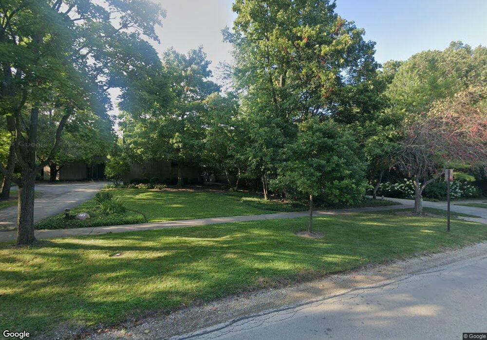
165 Maple Ave Highland Park, IL 60035
East Highland Park NeighborhoodEstimated Value: $1,924,000 - $2,257,000
3
Beds
4
Baths
4,322
Sq Ft
$476/Sq Ft
Est. Value
About This Home
This home is located at 165 Maple Ave, Highland Park, IL 60035 and is currently estimated at $2,058,580, approximately $476 per square foot. 165 Maple Ave is a home located in Lake County with nearby schools including Indian Trail Elementary School, Edgewood Middle School, and Highland Park High School.
Ownership History
Date
Name
Owned For
Owner Type
Purchase Details
Closed on
Dec 27, 1999
Sold by
Binkley Joan
Bought by
Joan F Binkley 1990 Revocable Trust
Current Estimated Value
Home Financials for this Owner
Home Financials are based on the most recent Mortgage that was taken out on this home.
Original Mortgage
$1,120,000
Interest Rate
8.37%
Purchase Details
Closed on
Nov 26, 1999
Sold by
Joan F Binkley 1990 Revocable Trust
Bought by
Rosenberg James L and Rosenberg Sandra
Home Financials for this Owner
Home Financials are based on the most recent Mortgage that was taken out on this home.
Original Mortgage
$1,120,000
Interest Rate
8.37%
Purchase Details
Closed on
May 1, 1997
Sold by
Lieberstein Sidney H and Lieberstein Eunice H
Bought by
Binkley Joan A
Create a Home Valuation Report for This Property
The Home Valuation Report is an in-depth analysis detailing your home's value as well as a comparison with similar homes in the area
Home Values in the Area
Average Home Value in this Area
Purchase History
| Date | Buyer | Sale Price | Title Company |
|---|---|---|---|
| Joan F Binkley 1990 Revocable Trust | -- | -- | |
| Rosenberg James L | $1,600,000 | -- | |
| Binkley Joan A | $777,500 | Attorneys Natl Title Network |
Source: Public Records
Mortgage History
| Date | Status | Borrower | Loan Amount |
|---|---|---|---|
| Previous Owner | Rosenberg James L | $1,120,000 |
Source: Public Records
Tax History Compared to Growth
Tax History
| Year | Tax Paid | Tax Assessment Tax Assessment Total Assessment is a certain percentage of the fair market value that is determined by local assessors to be the total taxable value of land and additions on the property. | Land | Improvement |
|---|---|---|---|---|
| 2024 | $39,627 | $518,892 | $179,234 | $339,658 |
| 2023 | $31,370 | $467,723 | $161,559 | $306,164 |
| 2022 | $31,370 | $359,350 | $177,482 | $181,868 |
| 2021 | $35,437 | $423,291 | $171,563 | $251,728 |
| 2020 | $34,290 | $423,291 | $171,563 | $251,728 |
| 2019 | $35,107 | $445,740 | $170,760 | $274,980 |
| 2018 | $16,495 | $409,506 | $189,727 | $219,779 |
| 2017 | $29,886 | $407,145 | $188,633 | $218,512 |
| 2016 | $28,809 | $435,673 | $179,582 | $256,091 |
| 2015 | $31,483 | $444,513 | $166,851 | $277,662 |
| 2014 | $32,713 | $410,487 | $175,076 | $235,411 |
| 2012 | $31,892 | $412,881 | $176,097 | $236,784 |
Source: Public Records
Map
Nearby Homes
- 2441 Woodbridge Ln
- 0 Moraine Rd
- 282 Linden Park Place
- 2046 Saint Johns Ave Unit 2A
- 2086 Saint Johns Ave Unit 207
- 2066 Saint Johns Ave Unit 404
- 560 Vine Ave Unit 103
- 0 Skokie Ave
- 2021 Saint Johns Ave Unit 4C
- 2500 Green Bay Rd
- 2542 Green Bay Rd
- 626 Homewood Ave Unit 401
- 2514 Hidden Oak (Lot 9) Cir
- 1 Burtis Ave
- 417 Temple Ave
- 493 Hazel Ave
- 1789 Green Bay Rd Unit B
- 0 Wrendale Ave Unit MRD12487576
- 55 Prospect Ave
- 1633 2nd St Unit 302
- 151 Maple Ave
- 185 Maple Ave
- 195 Maple Ave
- 2420 Woodbridge Ln
- 211 Maple Ave
- 125 Maple Ave
- 2425 Woodbridge Ln
- 184 Maple Ave
- 132 Maple Ave
- 2355 Linden Ave
- 2430 Woodbridge Ln
- 2338 Linden Ave
- 225 Melba Ln
- 112 Maple Ave
- 228 Maple Ave
- 2376 Sheridan Rd
- 2400 Sheridan Rd
- 2360 Sheridan Rd
- 2320 Linden Ave
- 235 Melba Ln