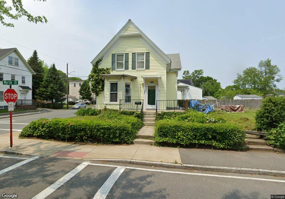
165 Myrtle St Brockton, MA 02301
Clifton Heights NeighborhoodEstimated Value: $477,000 - $508,000
4
Beds
1
Bath
1,684
Sq Ft
$295/Sq Ft
Est. Value
About This Home
This home is located at 165 Myrtle St, Brockton, MA 02301 and is currently estimated at $496,411, approximately $294 per square foot. 165 Myrtle St is a home located in Plymouth County with nearby schools including John F. Kennedy Elementary School, Davis K-8 School, and South Middle School.
Ownership History
Date
Name
Owned For
Owner Type
Purchase Details
Closed on
Dec 23, 2005
Sold by
Clark Denella J
Bought by
Bynum Latonya
Current Estimated Value
Home Financials for this Owner
Home Financials are based on the most recent Mortgage that was taken out on this home.
Original Mortgage
$217,600
Outstanding Balance
$122,254
Interest Rate
6.36%
Mortgage Type
Purchase Money Mortgage
Estimated Equity
$374,157
Purchase Details
Closed on
May 30, 2000
Sold by
Rodriguez Hector B and Rodriguez Michelle R
Bought by
Clark Denella J
Purchase Details
Closed on
Apr 6, 1992
Sold by
Pickwick Assoc
Bought by
Rodriguez Hector B and Rodriguez Michelle
Create a Home Valuation Report for This Property
The Home Valuation Report is an in-depth analysis detailing your home's value as well as a comparison with similar homes in the area
Home Values in the Area
Average Home Value in this Area
Purchase History
| Date | Buyer | Sale Price | Title Company |
|---|---|---|---|
| Bynum Latonya | $272,000 | -- | |
| Clark Denella J | $146,000 | -- | |
| Rodriguez Hector B | $92,000 | -- |
Source: Public Records
Mortgage History
| Date | Status | Borrower | Loan Amount |
|---|---|---|---|
| Open | Rodriguez Hector B | $217,600 | |
| Closed | Rodriguez Hector B | $54,400 | |
| Previous Owner | Rodriguez Hector B | $8,221 |
Source: Public Records
Tax History Compared to Growth
Tax History
| Year | Tax Paid | Tax Assessment Tax Assessment Total Assessment is a certain percentage of the fair market value that is determined by local assessors to be the total taxable value of land and additions on the property. | Land | Improvement |
|---|---|---|---|---|
| 2025 | $4,658 | $384,600 | $137,300 | $247,300 |
| 2024 | $4,504 | $374,700 | $137,300 | $237,400 |
| 2023 | $4,664 | $359,300 | $102,500 | $256,800 |
| 2022 | $4,434 | $317,400 | $93,000 | $224,400 |
| 2021 | $3,861 | $282,100 | $77,000 | $205,100 |
| 2020 | $3,783 | $249,700 | $72,500 | $177,200 |
| 2019 | $3,546 | $228,200 | $70,200 | $158,000 |
| 2018 | $3,429 | $213,500 | $70,200 | $143,300 |
| 2017 | $3,091 | $192,000 | $70,200 | $121,800 |
| 2016 | $3,005 | $173,100 | $68,100 | $105,000 |
| 2015 | $2,612 | $143,900 | $68,100 | $75,800 |
| 2014 | $2,574 | $142,000 | $68,100 | $73,900 |
Source: Public Records
Map
Nearby Homes
- 260 Grafton St
- 159 Myrtle St
- 256 Grafton St
- 162 Myrtle St
- 175 Myrtle St
- 175 Myrtle St Unit 2
- 55 Tripp Ave
- 158 Myrtle St
- 153 Myrtle St
- 153 Myrtle St Unit 1
- 259 Grafton St
- 174 Myrtle St
- 252 Grafton St
- 51 Tripp Ave
- 154 Myrtle St
- 154 Myrtle St Unit 1
- 154 Myrtle St Unit 2
- 255 Grafton St
- 284 Grafton St
- 47 Tripp Ave