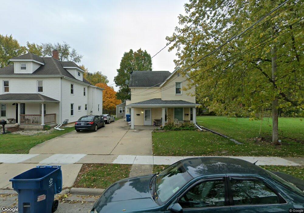
165 N Roy Ave Unit 169 Bourbonnais, IL 60914
Estimated Value: $168,000 - $198,312
--
Bed
--
Bath
--
Sq Ft
6,621
Sq Ft Lot
About This Home
This home is located at 165 N Roy Ave Unit 169, Bourbonnais, IL 60914 and is currently estimated at $187,828. 165 N Roy Ave Unit 169 is a home located in Kankakee County with nearby schools including Alan B. Shepard Elementary School, Liberty Intermediate School, and Bourbonnais Upper Grade Center.
Ownership History
Date
Name
Owned For
Owner Type
Purchase Details
Closed on
Dec 12, 2022
Sold by
Blue Harbor 2 Llc
Bought by
Ayala Jose A Martinez
Current Estimated Value
Home Financials for this Owner
Home Financials are based on the most recent Mortgage that was taken out on this home.
Original Mortgage
$140,000
Outstanding Balance
$130,199
Interest Rate
6.95%
Mortgage Type
New Conventional
Estimated Equity
$57,629
Purchase Details
Closed on
Aug 25, 2005
Sold by
Ruhbeck Gary L and Ruhbeck Charlotte
Bought by
Blue Harbor 2 Llc
Create a Home Valuation Report for This Property
The Home Valuation Report is an in-depth analysis detailing your home's value as well as a comparison with similar homes in the area
Home Values in the Area
Average Home Value in this Area
Purchase History
| Date | Buyer | Sale Price | Title Company |
|---|---|---|---|
| Ayala Jose A Martinez | $175,000 | Kankakee County Title | |
| Blue Harbor 2 Llc | $132,000 | -- |
Source: Public Records
Mortgage History
| Date | Status | Borrower | Loan Amount |
|---|---|---|---|
| Open | Ayala Jose A Martinez | $140,000 |
Source: Public Records
Tax History Compared to Growth
Tax History
| Year | Tax Paid | Tax Assessment Tax Assessment Total Assessment is a certain percentage of the fair market value that is determined by local assessors to be the total taxable value of land and additions on the property. | Land | Improvement |
|---|---|---|---|---|
| 2024 | $4,282 | $51,520 | $7,629 | $43,891 |
| 2023 | $4,096 | $49,597 | $7,064 | $42,533 |
| 2022 | $4,172 | $48,476 | $4,715 | $43,761 |
| 2021 | $4,107 | $47,409 | $4,611 | $42,798 |
| 2020 | $4,076 | $46,141 | $4,488 | $41,653 |
| 2019 | $4,001 | $44,797 | $4,357 | $40,440 |
| 2018 | $3,972 | $44,340 | $4,293 | $40,047 |
| 2017 | $3,799 | $42,120 | $4,188 | $37,932 |
| 2016 | $3,670 | $40,764 | $4,126 | $36,638 |
| 2015 | $3,522 | $38,633 | $4,085 | $34,548 |
| 2014 | $4,140 | $47,285 | $4,085 | $43,200 |
| 2013 | -- | $48,511 | $4,085 | $44,426 |
Source: Public Records
Map
Nearby Homes
- 213 Bernard St
- 271 Toni St
- 482 S Rivard St
- 404 E Grand Dr
- 475 S Cryer Ave
- 279 W Country Ct
- 899 Armour Rd
- 235 E John Casey Rd
- 635 Independence Dr
- Lot 5/5A Almar Pkwy
- 590 Jonette Ave
- 830 W River St
- 891 Exeter Turn Unit E1
- 850 Exeter Turn
- 717 Independence Dr
- 261 Mohawk Dr
- 725 Independence Dr
- 813 Canterbury Ln
- 0 Broadway St E Unit MRD12509049
- 372 N Center Ave