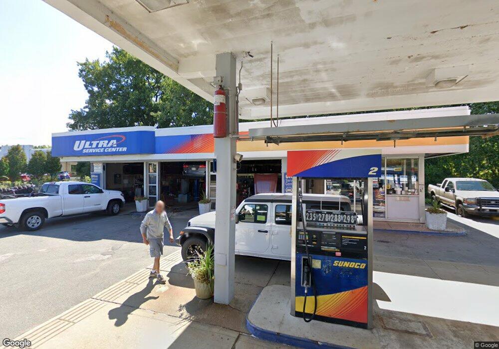
165 New State Hwy Raynham, MA 02767
--
Bed
1
Bath
2,259
Sq Ft
3.1
Acres
About This Home
This home is located at 165 New State Hwy, Raynham, MA 02767. 165 New State Hwy is a home located in Bristol County with nearby schools including Merrill Elementary School, LaLiberte Elementary School, and Williams Intermediate School.
Ownership History
Date
Name
Owned For
Owner Type
Purchase Details
Closed on
Aug 25, 2023
Sold by
165 New State Highway Llc
Bought by
165 Raynham Llc
Purchase Details
Closed on
Dec 21, 2004
Sold by
Sunoco Inc R & M
Bought by
Ree Ran An Llc
Home Financials for this Owner
Home Financials are based on the most recent Mortgage that was taken out on this home.
Original Mortgage
$650,000
Interest Rate
5.68%
Mortgage Type
Commercial
Create a Home Valuation Report for This Property
The Home Valuation Report is an in-depth analysis detailing your home's value as well as a comparison with similar homes in the area
Home Values in the Area
Average Home Value in this Area
Purchase History
| Date | Buyer | Sale Price | Title Company |
|---|---|---|---|
| 165 Raynham Llc | -- | None Available | |
| 165 Raynham Llc | -- | None Available | |
| Ree Ran An Llc | $750,000 | -- | |
| Ree Ran An Llc | $750,000 | -- |
Source: Public Records
Mortgage History
| Date | Status | Borrower | Loan Amount |
|---|---|---|---|
| Previous Owner | Ree Ran An Llc | $60,000 | |
| Previous Owner | Ree Ran An Llc | $650,000 |
Source: Public Records
Tax History Compared to Growth
Tax History
| Year | Tax Paid | Tax Assessment Tax Assessment Total Assessment is a certain percentage of the fair market value that is determined by local assessors to be the total taxable value of land and additions on the property. | Land | Improvement |
|---|---|---|---|---|
| 2025 | $16,075 | $984,400 | $306,200 | $678,200 |
| 2024 | $18,121 | $1,079,300 | $284,500 | $794,800 |
| 2023 | $18,441 | $995,200 | $335,200 | $660,000 |
| 2022 | $19,064 | $939,600 | $310,700 | $628,900 |
| 2021 | $18,942 | $939,600 | $310,700 | $628,900 |
| 2020 | $18,604 | $939,600 | $310,700 | $628,900 |
| 2019 | $18,098 | $924,300 | $295,400 | $628,900 |
| 2018 | $16,591 | $805,400 | $295,400 | $510,000 |
| 2017 | $16,849 | $805,400 | $295,400 | $510,000 |
| 2016 | $16,833 | $805,400 | $295,400 | $510,000 |
| 2015 | $16,003 | $741,200 | $298,500 | $442,700 |
Source: Public Records
Map
Nearby Homes
- 28 Barbara Rd
- 0 S Main St Unit 73443212
- 152 Forgeriver
- 55 Donna Terrace
- 208 S Main St
- 26 Maynard St Unit A
- 165 King James Blvd
- 110 Dean St Unit 102
- 215 Longmeadow Rd Unit 604
- 215 Longmeadow Rd Unit 403
- 11 Williams St
- 23 Johnson St Unit A
- 23 Johnson St Unit C
- 31 Bruno's Way Unit A
- 106 Alicia Dr
- 168 Hart St Unit 22
- 600 County St
- 600 County St Lot A
- 600
- 78 Arlington St Unit 1
- 106 U S 44
- 106 New State Hwy
- Lot 2 Rt 44
- Lot 1 Route 44
- 100 New State Hwy
- 167 South St W
- 270 New State Hwy
- 147 South St W
- 244 South St W
- 275 New State Hwy Unit 3B
- 275 New State Hwy Unit 3A
- 275 New State Hwy
- 146 South St W
- 30 Wildwood Path
- 40 Wildwood Path
- 68 Duffy Dr
- 64 Duffy Dr
- 72 Duffy Dr
- 190 South St W
- 204 South St W