165 Oates Rd Mooresville, NC 28117
Estimated Value: $446,000 - $540,403
3
Beds
3
Baths
1,740
Sq Ft
$277/Sq Ft
Est. Value
About This Home
This home is located at 165 Oates Rd, Mooresville, NC 28117 and is currently estimated at $481,851, approximately $276 per square foot. 165 Oates Rd is a home located in Iredell County with nearby schools including Coddle Creek Elementary School and Lake Norman High School.
Ownership History
Date
Name
Owned For
Owner Type
Purchase Details
Closed on
Sep 8, 2011
Sold by
Stutts David B and Stutts Allison
Bought by
Mccree Kevin L and Weir Kelsea
Current Estimated Value
Home Financials for this Owner
Home Financials are based on the most recent Mortgage that was taken out on this home.
Original Mortgage
$173,700
Outstanding Balance
$118,892
Interest Rate
4.25%
Mortgage Type
FHA
Estimated Equity
$362,959
Purchase Details
Closed on
Jun 1, 1977
Create a Home Valuation Report for This Property
The Home Valuation Report is an in-depth analysis detailing your home's value as well as a comparison with similar homes in the area
Home Values in the Area
Average Home Value in this Area
Purchase History
| Date | Buyer | Sale Price | Title Company |
|---|---|---|---|
| Mccree Kevin L | $180,000 | None Available | |
| -- | -- | -- |
Source: Public Records
Mortgage History
| Date | Status | Borrower | Loan Amount |
|---|---|---|---|
| Open | Mccree Kevin L | $173,700 |
Source: Public Records
Tax History Compared to Growth
Tax History
| Year | Tax Paid | Tax Assessment Tax Assessment Total Assessment is a certain percentage of the fair market value that is determined by local assessors to be the total taxable value of land and additions on the property. | Land | Improvement |
|---|---|---|---|---|
| 2024 | $2,166 | $336,280 | $79,900 | $256,380 |
| 2023 | $1,924 | $315,980 | $79,900 | $236,080 |
| 2022 | $1,535 | $235,080 | $67,610 | $167,470 |
| 2021 | $1,531 | $235,080 | $67,610 | $167,470 |
| 2020 | $1,531 | $235,080 | $67,610 | $167,470 |
| 2019 | $1,461 | $235,080 | $67,610 | $167,470 |
| 2018 | $1,342 | $215,960 | $67,610 | $148,350 |
| 2017 | $1,320 | $212,180 | $67,610 | $144,570 |
| 2016 | $1,320 | $212,180 | $67,610 | $144,570 |
| 2015 | $1,320 | $212,180 | $67,610 | $144,570 |
| 2014 | $1,224 | $211,180 | $67,610 | $143,570 |
Source: Public Records
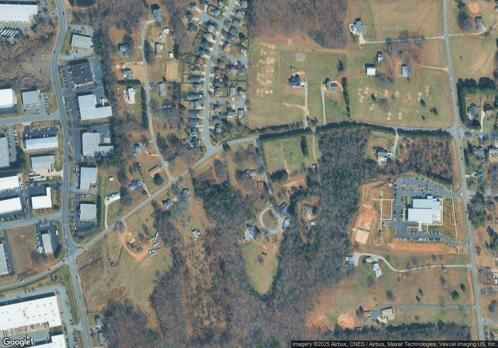
Map
Nearby Homes
- 110 Camforth Dr
- 105 Delargy Cir
- 131 Delargy Cir
- 136 Mangum Cir
- 161 Wrangell Dr
- 136 Sequoia Forest Dr
- 202 Wrangell Dr
- 140 Silverlining Rd
- 121 Talbert Town Loop
- 133 Lassen Ln
- 161 Dry Dock Loop
- 128 Talbert Town Loop
- 2209 Charlotte Hwy
- 157 Talbert Town Loop
- 129 Easy St
- 275 Flanders Dr
- 110 Perrin Park Loop
- 00 Laura Rd
- 131 Misty Arbor Ln
- 245 Rose St
- 106 Camforth Dr Unit 22
- 106 Camforth Dr
- 106 Camforth Dr
- 159 Oates Rd
- 110 Red Arrow Place
- 108 Red Arrow Place
- 105 Camforth Dr
- 110 Camforth Dr Unit 23
- 189 Oates Rd
- 145 Oates Rd
- 107 Camforth Dr
- 112 Camforth Dr
- 184 Oates Rd
- 109 Camforth Dr
- 109 Camforth Dr Unit 3
- 111 Camforth Dr
- 197 Oates Rd
- 111 Red Arrow Place
- 109 Red Arrow Place
- 116 Camforth Dr