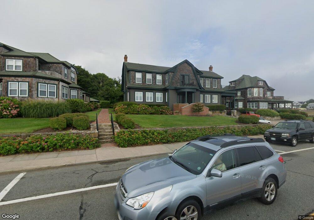
165 Ocean Rd Unit 1 Narragansett, RI 02882
Estimated Value: $769,301 - $1,143,000
2
Beds
2
Baths
1,203
Sq Ft
$771/Sq Ft
Est. Value
About This Home
This home is located at 165 Ocean Rd Unit 1, Narragansett, RI 02882 and is currently estimated at $927,825, approximately $771 per square foot. 165 Ocean Rd Unit 1 is a home located in Washington County with nearby schools including Narragansett Elementary School, Narragansett Pier Middle School, and Narragansett High School.
Ownership History
Date
Name
Owned For
Owner Type
Purchase Details
Closed on
Jan 11, 2000
Sold by
Farrington Edward R and Farrington Karen A
Bought by
Davis Paul L and Davis Susan G
Current Estimated Value
Purchase Details
Closed on
Nov 13, 1992
Sold by
Rhodes Ellen R
Bought by
Morris Joseph S
Home Financials for this Owner
Home Financials are based on the most recent Mortgage that was taken out on this home.
Original Mortgage
$125,000
Interest Rate
7.88%
Mortgage Type
Purchase Money Mortgage
Create a Home Valuation Report for This Property
The Home Valuation Report is an in-depth analysis detailing your home's value as well as a comparison with similar homes in the area
Home Values in the Area
Average Home Value in this Area
Purchase History
| Date | Buyer | Sale Price | Title Company |
|---|---|---|---|
| Davis Paul L | $268,500 | -- | |
| Morris Joseph S | $168,000 | -- |
Source: Public Records
Mortgage History
| Date | Status | Borrower | Loan Amount |
|---|---|---|---|
| Previous Owner | Morris Joseph S | $125,000 |
Source: Public Records
Tax History Compared to Growth
Tax History
| Year | Tax Paid | Tax Assessment Tax Assessment Total Assessment is a certain percentage of the fair market value that is determined by local assessors to be the total taxable value of land and additions on the property. | Land | Improvement |
|---|---|---|---|---|
| 2025 | $4,562 | $671,800 | $0 | $671,800 |
| 2024 | $4,400 | $671,800 | $0 | $671,800 |
| 2023 | $4,416 | $474,300 | $0 | $474,300 |
| 2022 | $4,269 | $474,300 | $0 | $474,300 |
| 2021 | $4,202 | $474,300 | $0 | $474,300 |
| 2020 | $4,330 | $413,200 | $0 | $413,200 |
| 2019 | $4,227 | $413,200 | $0 | $413,200 |
| 2018 | $4,111 | $413,200 | $0 | $413,200 |
| 2017 | $3,793 | $359,200 | $0 | $359,200 |
| 2016 | $3,621 | $359,200 | $0 | $359,200 |
| 2015 | $3,570 | $359,200 | $0 | $359,200 |
| 2014 | $3,738 | $372,300 | $0 | $372,300 |
Source: Public Records
Map
Nearby Homes
- 27 Westmoreland St
- 126 Boon St
- 140 S Pier Rd
- 0 Hazard Ave
- 20 Narragansett Ave Unit 905
- 137 Kingstown Rd
- 137A Kingstown Rd
- 56 Wanda St
- 30 Sweet Meadows Ct Unit 26
- 19 Castle Rd
- 38 Eisenhower Place
- 576 Point Judith Rd
- 580 Point Judith Rd
- 60 Daytona Ave
- 62 Daytona Ave
- 128 Camden Ct
- 73 Camden Ct
- 45 Cherry Ln Unit C
- 39 Hazard Ave
- 103 Cedar Island Rd
- 165 Ocean Rd Unit 4
- 165 Ocean Rd Unit 2
- 165 Ocean Rd Unit 3
- 163 Ocean Rd Unit A
- 163 Ocean Rd Unit B
- 163 Ocean Rd Unit 10
- 171 Ocean Rd Unit 8
- 171 Ocean Rd Unit 7
- 161 Ocean Rd Unit 11
- 161 Ocean Rd Unit 12
- 161 Ocean Rd Unit 4
- 161 - B Ocean Rd Unit 12
- 175 Ocean Rd Unit 6
- 175 Ocean Rd Unit 5
- 157 Ocean Rd
- 13 S Pier Rd
- 19 S Pier Rd
- 12 South Trail
- 179 Ocean Rd Unit B
- 179 Ocean Rd Unit 1