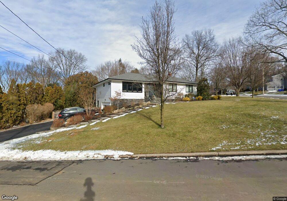
165 Palisade Ave Cresskill, NJ 07626
Estimated Value: $1,030,000 - $1,112,000
--
Bed
--
Bath
1,640
Sq Ft
$652/Sq Ft
Est. Value
About This Home
This home is located at 165 Palisade Ave, Cresskill, NJ 07626 and is currently estimated at $1,069,292, approximately $652 per square foot. 165 Palisade Ave is a home located in Bergen County with nearby schools including Cresskill High School, Englewood on the Palisades Charter School, and Spring School.
Ownership History
Date
Name
Owned For
Owner Type
Purchase Details
Closed on
Mar 12, 2012
Sold by
Martin Reba
Bought by
Santilli Christopher and Lopresti Deana
Current Estimated Value
Home Financials for this Owner
Home Financials are based on the most recent Mortgage that was taken out on this home.
Original Mortgage
$428,800
Outstanding Balance
$294,415
Interest Rate
3.86%
Mortgage Type
Purchase Money Mortgage
Estimated Equity
$774,877
Create a Home Valuation Report for This Property
The Home Valuation Report is an in-depth analysis detailing your home's value as well as a comparison with similar homes in the area
Home Values in the Area
Average Home Value in this Area
Purchase History
| Date | Buyer | Sale Price | Title Company |
|---|---|---|---|
| Santilli Christopher | $536,000 | -- |
Source: Public Records
Mortgage History
| Date | Status | Borrower | Loan Amount |
|---|---|---|---|
| Open | Santilli Christopher | $428,800 |
Source: Public Records
Tax History Compared to Growth
Tax History
| Year | Tax Paid | Tax Assessment Tax Assessment Total Assessment is a certain percentage of the fair market value that is determined by local assessors to be the total taxable value of land and additions on the property. | Land | Improvement |
|---|---|---|---|---|
| 2025 | $13,710 | $617,700 | $431,400 | $186,300 |
| 2024 | $13,578 | $596,100 | $415,900 | $180,200 |
| 2023 | $13,359 | $585,000 | $408,900 | $176,100 |
| 2022 | $13,359 | $555,000 | $385,100 | $169,900 |
| 2021 | $13,228 | $541,700 | $376,100 | $165,600 |
| 2020 | $13,050 | $536,600 | $373,100 | $163,500 |
| 2019 | $12,776 | $530,800 | $369,600 | $161,200 |
| 2018 | $8,872 | $526,200 | $366,100 | $160,100 |
| 2017 | $12,720 | $467,300 | $316,500 | $150,800 |
| 2016 | $12,341 | $467,300 | $316,500 | $150,800 |
| 2015 | $11,958 | $467,300 | $316,500 | $150,800 |
| 2014 | $11,598 | $465,500 | $316,500 | $149,000 |
Source: Public Records
Map
Nearby Homes
- 21 Crest Dr N
- 121 Engle St
- 1 Lambs Ln
- 201 Orchard Terrace
- 3 Lambs Ln
- 366 E Madison Ave
- 10 Center St
- 11 New St
- 149 Magnolia Ave
- 16 Loman Ct
- 25 Division St Unit 403
- 56 E Madison Ave
- 10 Orchard Place
- 118 Hoover Dr
- 5 Tenakill Park E Unit 217
- 5 Tenakill Park E Unit 316
- 2 Churchill Rd
- 2 N Brae Ct
- 319 Truman Dr
- 72 Glenwood Ave
- 161 Palisade Ave
- 169 Palisade Ave
- 166 Palisade Ave
- 154 Palisade Ave
- 170 Palisade Ave
- 157 Palisade Ave
- 162 Palisade Ave
- 150 Palisade Ave
- 173 Palisade Ave
- 49 Crest Dr N
- 45 Crest Dr N
- 174 Palisade Ave
- 65 Engle St
- 57 Engle St
- 41 Crest Dr N
- 53 Engle St
- 146 Palisade Ave
- 153 Palisade Ave
- 57 Crest Dr N
- 69 Engle St