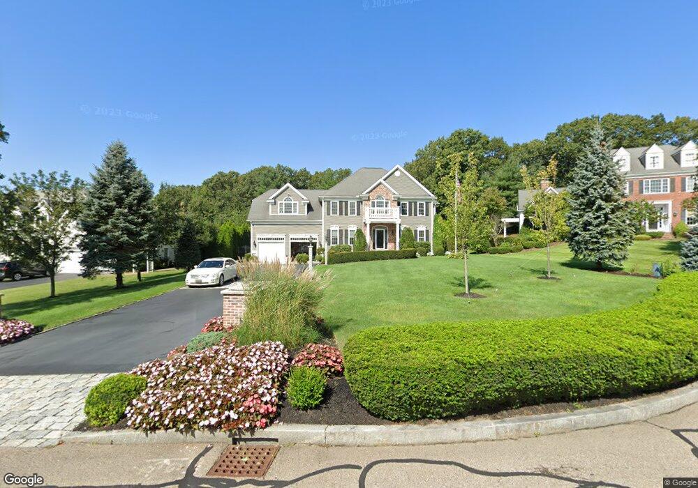
165 Pokanoket Path Wrentham, MA 02093
Estimated Value: $1,072,639 - $1,161,000
4
Beds
3
Baths
3,158
Sq Ft
$353/Sq Ft
Est. Value
About This Home
This home is located at 165 Pokanoket Path, Wrentham, MA 02093 and is currently estimated at $1,113,410, approximately $352 per square foot. 165 Pokanoket Path is a home located in Norfolk County with nearby schools including Delaney Elementary School and Charles E Roderick.
Ownership History
Date
Name
Owned For
Owner Type
Purchase Details
Closed on
Apr 30, 2004
Sold by
Diplacido Dev Corp
Bought by
Murray James E and Murray Maura M
Current Estimated Value
Home Financials for this Owner
Home Financials are based on the most recent Mortgage that was taken out on this home.
Original Mortgage
$325,000
Outstanding Balance
$150,877
Interest Rate
5.36%
Mortgage Type
Purchase Money Mortgage
Estimated Equity
$962,533
Create a Home Valuation Report for This Property
The Home Valuation Report is an in-depth analysis detailing your home's value as well as a comparison with similar homes in the area
Home Values in the Area
Average Home Value in this Area
Purchase History
| Date | Buyer | Sale Price | Title Company |
|---|---|---|---|
| Murray James E | $609,062 | -- |
Source: Public Records
Mortgage History
| Date | Status | Borrower | Loan Amount |
|---|---|---|---|
| Open | Murray James E | $325,000 |
Source: Public Records
Tax History Compared to Growth
Tax History
| Year | Tax Paid | Tax Assessment Tax Assessment Total Assessment is a certain percentage of the fair market value that is determined by local assessors to be the total taxable value of land and additions on the property. | Land | Improvement |
|---|---|---|---|---|
| 2025 | $10,798 | $931,700 | $302,600 | $629,100 |
| 2024 | $10,264 | $855,300 | $302,600 | $552,700 |
| 2023 | $10,412 | $825,000 | $275,000 | $550,000 |
| 2022 | $9,248 | $676,500 | $211,700 | $464,800 |
| 2021 | $9,146 | $650,000 | $221,800 | $428,200 |
| 2020 | $9,751 | $684,300 | $200,100 | $484,200 |
| 2019 | $9,575 | $678,100 | $215,500 | $462,600 |
| 2018 | $8,830 | $620,100 | $215,800 | $404,300 |
| 2017 | $8,618 | $604,800 | $211,600 | $393,200 |
| 2016 | $8,308 | $581,800 | $205,500 | $376,300 |
| 2015 | $8,482 | $566,200 | $197,500 | $368,700 |
| 2014 | $8,402 | $548,800 | $190,000 | $358,800 |
Source: Public Records
Map
Nearby Homes
- Lot 3 - 14 Earle Stewart Ln
- Lot 1 - Blueberry 2 Car Plan at King Philip Estates
- Lot 8 - Blueberry 2 Car Plan at King Philip Estates
- Lot 5 - Hughes 2 car Plan at King Philip Estates
- Lot 6 - Blueberry 3 Car Plan at King Philip Estates
- Lot 2 - Camden 2 Car Plan at King Philip Estates
- Lot 7 - Cedar Plan at King Philip Estates
- Lot 4 - Hemingway 2 Car Plan at King Philip Estates
- Lot 3 - Blueberry 2 Car Plan at King Philip Estates
- 11 Earle Stewart Ln
- 131 Creek St Unit 7
- 791 South St Unit 5
- 570 Franklin St
- 10 Nature View Dr
- 15 Nature View Dr
- 319 Taunton St
- 440 Chestnut St
- 270 Dedham St
- 1 Lorraine Metcalf Dr
- 362 East St
- 155 Pokanoket Path
- 175 Pokanoket Path
- 145 Pokanoket Path
- 160 Pokanoket Path
- 150 Pokanoket Path
- 170 Pokanoket Path
- 135 Pokanoket Path
- 140 Pokanoket Path
- 130 Pokanoket Path
- 560 Eastside Rd
- 580 Eastside Rd
- 590 Eastside Rd
- 125 Pokanoket Path
- 540 E Side Rd
- 540 Eastside Rd
- 600 Eastside Rd
- 120 Pokanoket Path
- 610 Eastside Rd
- 550 Eastside Rd
- 530 Eastside Rd