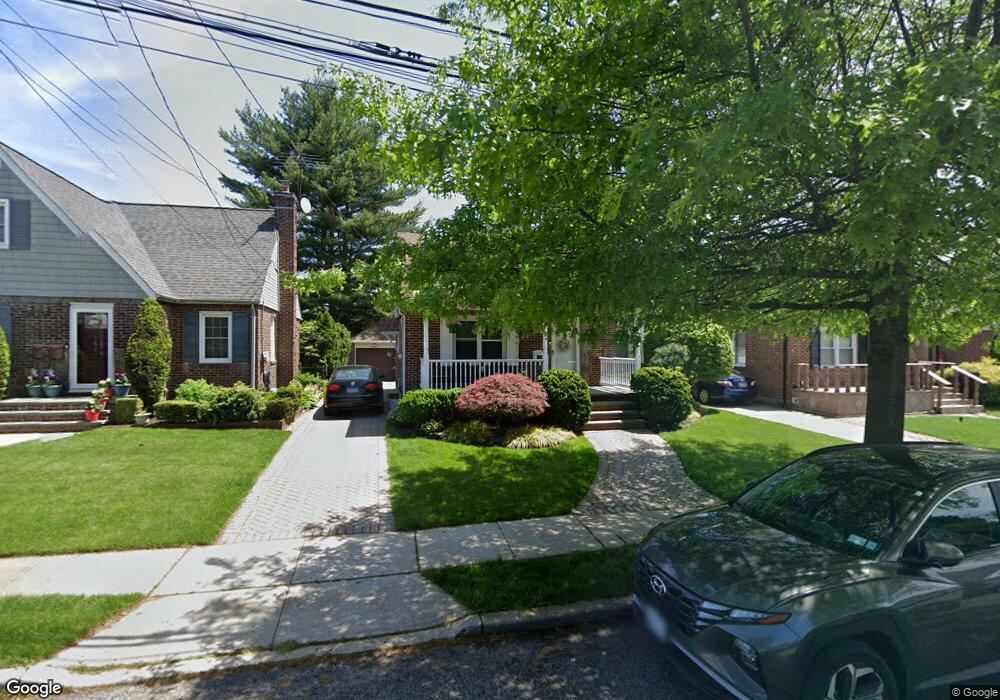
165 Rintin St Franklin Square, NY 11010
Estimated Value: $727,448 - $768,000
4
Beds
1
Bath
1,306
Sq Ft
$573/Sq Ft
Est. Value
About This Home
This home is located at 165 Rintin St, Franklin Square, NY 11010 and is currently estimated at $747,724, approximately $572 per square foot. 165 Rintin St is a home located in Nassau County with nearby schools including Hebrew Academy of Nassau County (HANC).
Ownership History
Date
Name
Owned For
Owner Type
Purchase Details
Closed on
Oct 16, 2019
Sold by
Greenwood George W and Greenwood Kathleen
Bought by
Talevski Todorce and Talevski Jasminka
Current Estimated Value
Home Financials for this Owner
Home Financials are based on the most recent Mortgage that was taken out on this home.
Original Mortgage
$300,000
Outstanding Balance
$263,881
Interest Rate
3.7%
Mortgage Type
New Conventional
Estimated Equity
$483,843
Create a Home Valuation Report for This Property
The Home Valuation Report is an in-depth analysis detailing your home's value as well as a comparison with similar homes in the area
Home Values in the Area
Average Home Value in this Area
Purchase History
| Date | Buyer | Sale Price | Title Company |
|---|---|---|---|
| Talevski Todorce | $580,000 | None Available |
Source: Public Records
Mortgage History
| Date | Status | Borrower | Loan Amount |
|---|---|---|---|
| Open | Talevski Todorce | $300,000 |
Source: Public Records
Tax History
| Year | Tax Paid | Tax Assessment Tax Assessment Total Assessment is a certain percentage of the fair market value that is determined by local assessors to be the total taxable value of land and additions on the property. | Land | Improvement |
|---|---|---|---|---|
| 2025 | $9,498 | $445 | $209 | $236 |
| 2024 | $3,921 | $475 | $223 | $252 |
Source: Public Records
Map
Nearby Homes
Your Personal Tour Guide
Ask me questions while you tour the home.