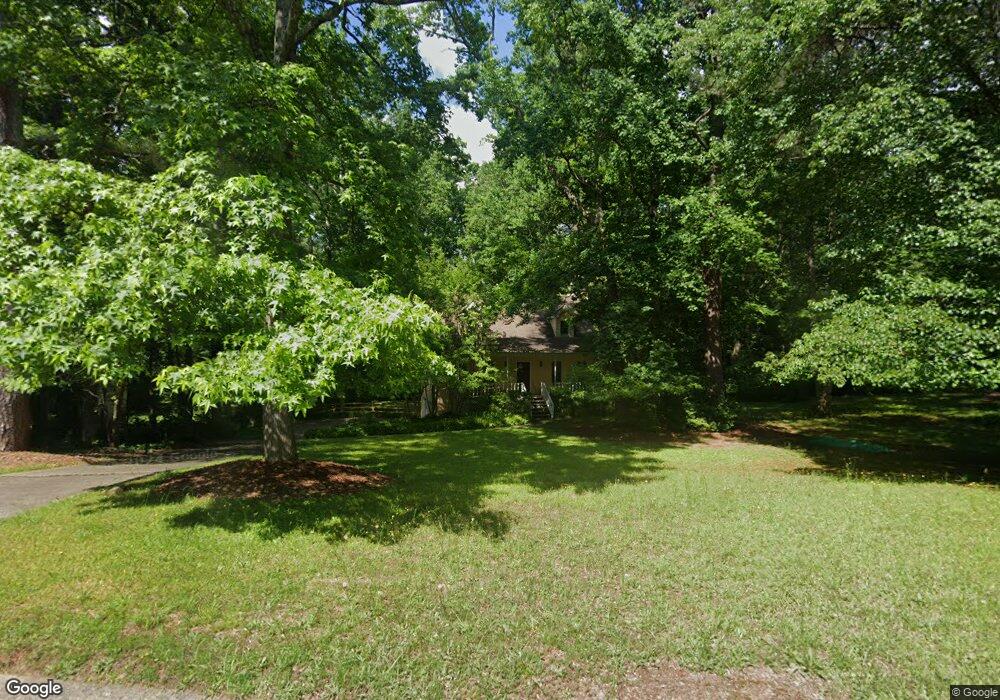
165 Sequoyah Dr Alpharetta, GA 30004
Union Hill NeighborhoodEstimated Value: $379,297 - $390,000
3
Beds
2
Baths
1,528
Sq Ft
$252/Sq Ft
Est. Value
About This Home
This home is located at 165 Sequoyah Dr, Alpharetta, GA 30004 and is currently estimated at $384,649, approximately $251 per square foot. 165 Sequoyah Dr is a home located in Cherokee County with nearby schools including Free Home Elementary School, Creekland Middle School, and Creekview High School.
Ownership History
Date
Name
Owned For
Owner Type
Purchase Details
Closed on
Dec 18, 1996
Sold by
Mccrory Annie
Bought by
Rice Ralph
Current Estimated Value
Purchase Details
Closed on
May 19, 1994
Sold by
Jasnicki Richard Mitzi
Bought by
Mccrory Annie
Home Financials for this Owner
Home Financials are based on the most recent Mortgage that was taken out on this home.
Original Mortgage
$89,550
Interest Rate
8.24%
Create a Home Valuation Report for This Property
The Home Valuation Report is an in-depth analysis detailing your home's value as well as a comparison with similar homes in the area
Home Values in the Area
Average Home Value in this Area
Purchase History
| Date | Buyer | Sale Price | Title Company |
|---|---|---|---|
| Rice Ralph | $98,500 | -- | |
| Mccrory Annie | $88,000 | -- |
Source: Public Records
Mortgage History
| Date | Status | Borrower | Loan Amount |
|---|---|---|---|
| Previous Owner | Mccrory Annie | $89,550 | |
| Closed | Rice Ralph | $0 |
Source: Public Records
Tax History Compared to Growth
Tax History
| Year | Tax Paid | Tax Assessment Tax Assessment Total Assessment is a certain percentage of the fair market value that is determined by local assessors to be the total taxable value of land and additions on the property. | Land | Improvement |
|---|---|---|---|---|
| 2025 | $2,929 | $126,620 | $29,600 | $97,020 |
| 2024 | $3,084 | $134,980 | $29,600 | $105,380 |
| 2023 | $2,304 | $118,580 | $26,000 | $92,580 |
| 2022 | $2,379 | $100,140 | $20,000 | $80,140 |
| 2021 | $2,324 | $89,220 | $20,000 | $69,220 |
| 2020 | $2,136 | $81,052 | $16,000 | $65,052 |
| 2019 | $1,982 | $74,400 | $16,000 | $58,400 |
| 2018 | $1,711 | $62,360 | $12,800 | $49,560 |
| 2017 | $1,593 | $143,900 | $12,800 | $44,760 |
| 2016 | $1,381 | $124,400 | $10,000 | $39,760 |
| 2015 | $1,389 | $123,900 | $10,000 | $39,560 |
| 2014 | $1,264 | $113,000 | $10,000 | $35,200 |
Source: Public Records
Map
Nearby Homes
- 116 Waverly Dr
- 412 Manor Ridge View
- 3590 Manor Dr N
- 3580 Manor Dr N Unit LOT 1
- 3590 Manor Dr N Unit LOT 2
- 3580 Manor Dr N
- 7380 Bates Dr
- 715 Creekside Bend
- 212 Silver Birch Ct
- 7619 Campground Rd
- 2675 Holbrook Campground Rd
- 2687 Holbrook Campground Rd
- 3280 Hopewell Chase Dr
- 722 Creekside Bend
- 7480 Trotting Trail
- 7880 Brands Hatch Blvd
- 4415 Indian Trace Dr
- 7440 Trotting Trail
- 4465 Mossbrook Cir
- 7825 Brands Hatch Blvd
- 175 Sequoyah Dr
- 155 Sequoyah Dr
- 0 Sequoyah Dr Unit 8492396
- 0 Sequoyah Dr Unit 8328396
- 0 Sequoyah Dr Unit 8184898
- 0 Sequoyah Dr Unit 8002623
- 0 Sequoyah Dr Unit 7626971
- 0 Sequoyah Dr Unit 7204509
- 0 Sequoyah Dr Unit 3178075
- 0 Sequoyah Dr Unit 7152137
- 0 Sequoyah Dr Unit 7179085
- 225 Chief Vann Dr
- 145 Sequoyah Dr
- 185 Sequoyah Dr
- 148 Sequoyah Dr
- 130 Sequoyah Dr
- 140 Sequoyah Dr
- 235 Chief Vann Dr
- 235 Chief Vann Dr
- 150 Sequoyah Dr