165 Shadow Dr Breckenridge, CO 80424
Estimated Value: $1,042,936 - $1,501,000
3
Beds
3
Baths
1,176
Sq Ft
$1,096/Sq Ft
Est. Value
About This Home
This home is located at 165 Shadow Dr, Breckenridge, CO 80424 and is currently estimated at $1,289,484, approximately $1,096 per square foot. 165 Shadow Dr is a home with nearby schools including Upper Blue Elementary School, Summit Middle School, and Summit High School.
Ownership History
Date
Name
Owned For
Owner Type
Purchase Details
Closed on
Aug 13, 2007
Sold by
Peterson Barbara P and Peterson William S
Bought by
The William Seaton Peterson & Barbara Po
Current Estimated Value
Purchase Details
Closed on
Aug 6, 2007
Sold by
Uhle Ronald James
Bought by
Peterson Barbara P and Peterson William S
Purchase Details
Closed on
Apr 13, 2006
Sold by
Uhle Ronald James and Uhle Ronald J
Bought by
Uhle Ronald James and Uhle Linda E
Purchase Details
Closed on
Mar 4, 2006
Sold by
Uhle Ronald James
Bought by
Uhle Ronald James
Create a Home Valuation Report for This Property
The Home Valuation Report is an in-depth analysis detailing your home's value as well as a comparison with similar homes in the area
Home Values in the Area
Average Home Value in this Area
Purchase History
| Date | Buyer | Sale Price | Title Company |
|---|---|---|---|
| The William Seaton Peterson & Barbara Po | -- | None Available | |
| Peterson Barbara P | $590,000 | Title Company Of The Rockies | |
| Uhle Ronald James | -- | None Available | |
| Uhle Ronald James | -- | None Available |
Source: Public Records
Tax History
| Year | Tax Paid | Tax Assessment Tax Assessment Total Assessment is a certain percentage of the fair market value that is determined by local assessors to be the total taxable value of land and additions on the property. | Land | Improvement |
|---|---|---|---|---|
| 2024 | $3,329 | $71,348 | -- | -- |
| 2023 | $3,329 | $67,663 | $0 | $0 |
| 2022 | $2,585 | $49,171 | $0 | $0 |
| 2021 | $2,632 | $50,586 | $0 | $0 |
| 2020 | $2,181 | $41,571 | $0 | $0 |
| 2019 | $2,150 | $41,571 | $0 | $0 |
| 2018 | $2,096 | $39,259 | $0 | $0 |
| 2017 | $1,917 | $39,259 | $0 | $0 |
| 2016 | $1,876 | $37,834 | $0 | $0 |
| 2015 | $1,816 | $37,834 | $0 | $0 |
| 2014 | $1,553 | $31,936 | $0 | $0 |
| 2013 | -- | $31,936 | $0 | $0 |
Source: Public Records
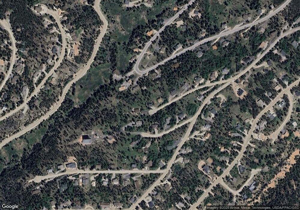
Map
Nearby Homes
- 133 Adams Way
- 1279 American Way
- 599 American Way
- 1009 American Way
- 209 American Way
- 41 Barton Ridge Dr
- 3764 Ski Hill Rd
- 3594 Ski Hill Rd
- 60 Barton Ridge Dr
- 226 Barton Way
- 66 Sitzmark Cir
- 257 Barton Ridge Dr
- 157 Barton Way
- 106 Protector Cir
- 282 Slalom Dr
- 456 Peerless Dr
- 847 Airport Rd Unit 18
- 847 Airport Rd Unit 14
- 847 Airport Rd Unit 24
- 67 Rounds Rd
- 145 Shadow Dr
- 175 Shadow Dr
- 503 Blue Ridge Rd
- 513 Blue Ridge Rd
- 131 E Adams St
- 91 Adams Way
- 125 Shadow Dr
- 473 Blue Ridge Rd
- 60 Adams Way
- 51 Adams Way
- 523 Blue Ridge Rd
- 105 Shadow Dr
- 134 E Adams St
- 1208 American Way
- 524 Blue Ridge Rd
- 533 Blue Ridge Rd
- 132 E Adams St
- 443 Blue Ridge Rd
- 543 Blue Ridge Rd
- 1148 American Way
Your Personal Tour Guide
Ask me questions while you tour the home.