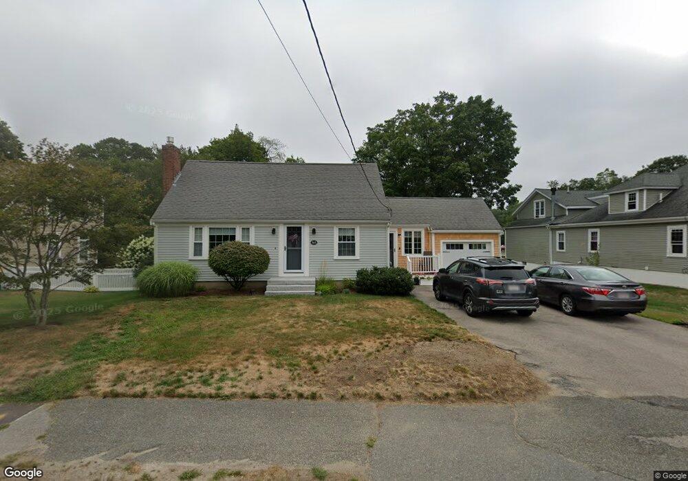
165 Spruce St Abington, MA 02351
Estimated Value: $521,000 - $589,370
3
Beds
2
Baths
1,464
Sq Ft
$382/Sq Ft
Est. Value
About This Home
This home is located at 165 Spruce St, Abington, MA 02351 and is currently estimated at $559,093, approximately $381 per square foot. 165 Spruce St is a home located in Plymouth County with nearby schools including Beaver Brook Elementary School, Abington Middle School, and Woodsdale School.
Ownership History
Date
Name
Owned For
Owner Type
Purchase Details
Closed on
Jun 27, 1988
Sold by
Cirelli Joseph L
Bought by
Greenlaw Jonathan S
Current Estimated Value
Home Financials for this Owner
Home Financials are based on the most recent Mortgage that was taken out on this home.
Original Mortgage
$126,900
Interest Rate
10.32%
Mortgage Type
Purchase Money Mortgage
Create a Home Valuation Report for This Property
The Home Valuation Report is an in-depth analysis detailing your home's value as well as a comparison with similar homes in the area
Home Values in the Area
Average Home Value in this Area
Purchase History
| Date | Buyer | Sale Price | Title Company |
|---|---|---|---|
| Greenlaw Jonathan S | $141,000 | -- |
Source: Public Records
Mortgage History
| Date | Status | Borrower | Loan Amount |
|---|---|---|---|
| Open | Greenlaw Jonathan S | $25,000 | |
| Open | Greenlaw Jonathan S | $105,000 | |
| Closed | Greenlaw Jonathan S | $112,500 | |
| Closed | Greenlaw Jonathan S | $126,900 |
Source: Public Records
Tax History Compared to Growth
Tax History
| Year | Tax Paid | Tax Assessment Tax Assessment Total Assessment is a certain percentage of the fair market value that is determined by local assessors to be the total taxable value of land and additions on the property. | Land | Improvement |
|---|---|---|---|---|
| 2025 | $6,111 | $467,900 | $244,500 | $223,400 |
| 2024 | $6,072 | $453,800 | $222,800 | $231,000 |
| 2023 | $5,758 | $405,200 | $194,400 | $210,800 |
| 2022 | $5,636 | $370,300 | $170,800 | $199,500 |
| 2021 | $5,391 | $327,100 | $155,400 | $171,700 |
| 2020 | $940 | $322,500 | $150,800 | $171,700 |
| 2019 | $5,165 | $297,000 | $143,900 | $153,100 |
| 2018 | $3,684 | $290,200 | $143,900 | $146,300 |
| 2017 | $3,787 | $260,300 | $143,900 | $116,400 |
| 2016 | $4,429 | $247,000 | $137,300 | $109,700 |
| 2015 | $4,223 | $248,400 | $137,300 | $111,100 |
Source: Public Records
Map
Nearby Homes
- 57 Battery St
- 29 West St
- 120 Glen St
- 1077 Bedford St
- 1085 Bedford St
- 46 Wardson Cir
- 20 Cleverly St Unit B2
- 27 Fir Rd
- 1353 Washington St
- 40 Fir Rd Unit 386
- 20 Birch St
- 28 Nevens Cir
- 0 Bedford St
- 1210 Washington St
- 11 Chestnut Cir
- 6 Chestnut Cir
- 3 Hickory Cir
- 11 Hawthorne St
- 676 Bedford St
- 1 Canterbury Ln