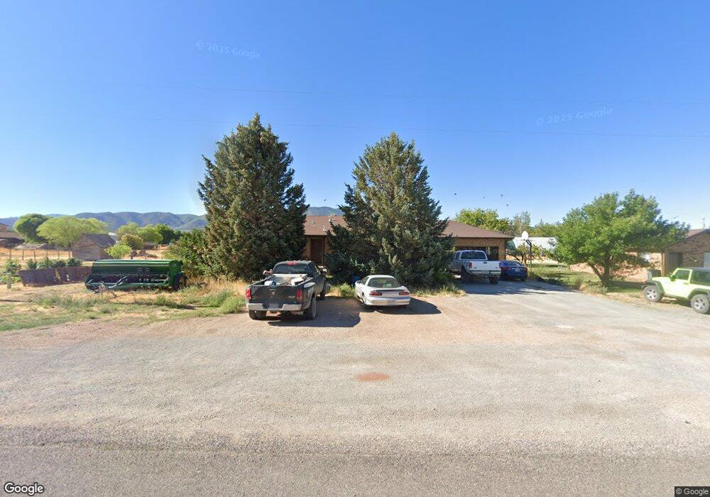
165 W 100 N Kanosh, UT 84637
Estimated Value: $364,000 - $595,000
--
Bed
--
Bath
--
Sq Ft
0.96
Acres
About This Home
This home is located at 165 W 100 N, Kanosh, UT 84637 and is currently estimated at $473,772. 165 W 100 N is a home.
Ownership History
Date
Name
Owned For
Owner Type
Purchase Details
Closed on
Feb 22, 2006
Sold by
Missouri Flat Limited Partnership
Bought by
Erreguin Efren B and Erreguin Merlynn
Current Estimated Value
Home Financials for this Owner
Home Financials are based on the most recent Mortgage that was taken out on this home.
Original Mortgage
$82,400
Outstanding Balance
$44,599
Interest Rate
5.65%
Mortgage Type
Purchase Money Mortgage
Estimated Equity
$429,173
Create a Home Valuation Report for This Property
The Home Valuation Report is an in-depth analysis detailing your home's value as well as a comparison with similar homes in the area
Home Values in the Area
Average Home Value in this Area
Purchase History
| Date | Buyer | Sale Price | Title Company |
|---|---|---|---|
| Erreguin Efren B | -- | -- |
Source: Public Records
Mortgage History
| Date | Status | Borrower | Loan Amount |
|---|---|---|---|
| Open | Erreguin Efren B | $82,400 |
Source: Public Records
Tax History Compared to Growth
Tax History
| Year | Tax Paid | Tax Assessment Tax Assessment Total Assessment is a certain percentage of the fair market value that is determined by local assessors to be the total taxable value of land and additions on the property. | Land | Improvement |
|---|---|---|---|---|
| 2025 | $1,905 | $249,522 | $37,903 | $211,619 |
| 2024 | $1,905 | $267,748 | $30,032 | $237,716 |
| 2023 | $2,359 | $267,748 | $30,032 | $237,716 |
| 2022 | $1,586 | $148,997 | $24,025 | $124,972 |
| 2021 | $1,601 | $145,039 | $20,891 | $124,148 |
| 2020 | $1,388 | $127,010 | $18,992 | $108,018 |
| 2019 | $1,252 | $115,178 | $17,424 | $97,754 |
| 2018 | $1,205 | $113,594 | $15,840 | $97,754 |
| 2017 | $1,260 | $113,594 | $15,840 | $97,754 |
| 2016 | $1,187 | $111,599 | $11,880 | $99,719 |
| 2015 | $1,222 | $114,891 | $11,880 | $103,011 |
| 2014 | -- | $114,891 | $11,880 | $103,011 |
| 2013 | -- | $114,891 | $11,880 | $103,011 |
Source: Public Records
Map
Nearby Homes
- 135 E 200 N
- 115 W 200 S
- 58 E 300 South St
- 8610 S Highway 91
- 5098 W Hatton Rd
- Parcel # 8816
- 145 N 200 E
- 60 W Center St
- 50 N 100 Rd E
- 1565 W Sunflower Ln Unit 3
- 1615 W Sunflower Ln
- 1615 W Sunflower Ln Unit 4
- 1565 W Sunflower Ln
- 0 Tbd Black Rock Rd Unit LotWP001
- 2000 N West Frontage I-15
- 1100 S 725 Rd W
- 310 S 500 West Rd
- 190 W 400 St S
- 760 E 700 St S
- 155 E 500 St S