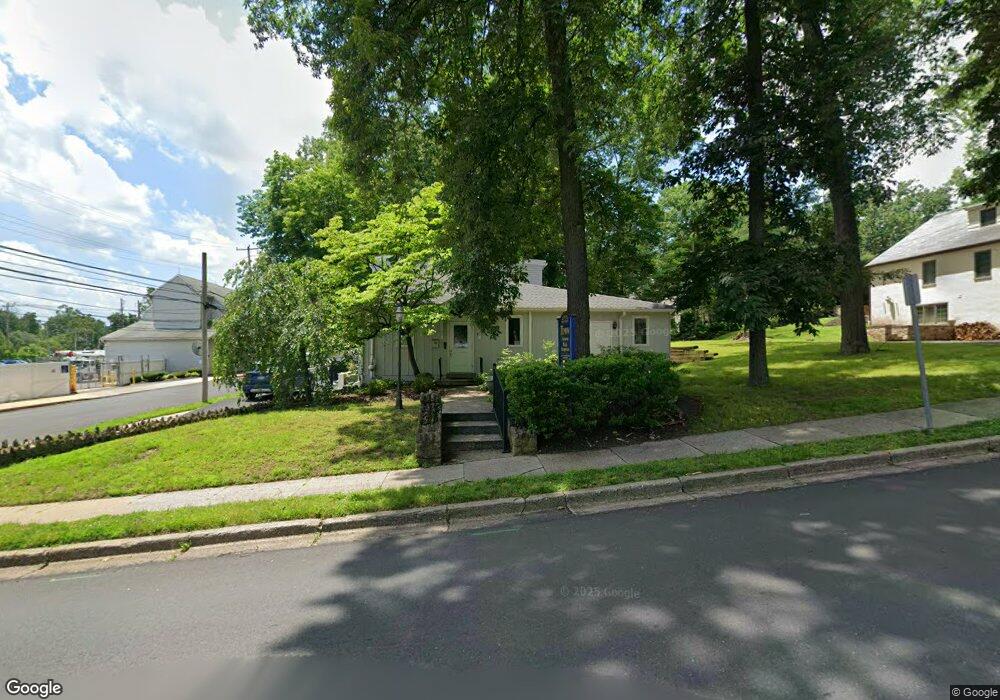
165 W Ashland St Doylestown, PA 18901
Estimated Value: $821,649
3
Beds
3
Baths
1,596
Sq Ft
$515/Sq Ft
Est. Value
About This Home
This home is located at 165 W Ashland St, Doylestown, PA 18901 and is currently estimated at $821,649, approximately $514 per square foot. 165 W Ashland St is a home located in Bucks County with nearby schools including Doyle El School, Lenape Middle School, and Central Bucks High School-West.
Ownership History
Date
Name
Owned For
Owner Type
Purchase Details
Closed on
Jul 19, 2017
Sold by
Dwm Properties Llc
Bought by
165 W Ashland Street Llc
Current Estimated Value
Home Financials for this Owner
Home Financials are based on the most recent Mortgage that was taken out on this home.
Original Mortgage
$401,600
Outstanding Balance
$333,662
Interest Rate
3.89%
Mortgage Type
Commercial
Estimated Equity
$487,987
Purchase Details
Closed on
Jun 30, 2009
Sold by
Nuveen John H and Nuveen Sue E
Bought by
Dwm Properties Llc
Home Financials for this Owner
Home Financials are based on the most recent Mortgage that was taken out on this home.
Original Mortgage
$310,000
Interest Rate
5.47%
Mortgage Type
Commercial
Purchase Details
Closed on
Sep 15, 1971
Bought by
Nuvenn John H and Nuvenn Sue E
Create a Home Valuation Report for This Property
The Home Valuation Report is an in-depth analysis detailing your home's value as well as a comparison with similar homes in the area
Home Values in the Area
Average Home Value in this Area
Purchase History
| Date | Buyer | Sale Price | Title Company |
|---|---|---|---|
| 165 W Ashland Street Llc | $510,000 | None Available | |
| Dwm Properties Llc | $408,000 | None Available | |
| Nuvenn John H | -- | -- |
Source: Public Records
Mortgage History
| Date | Status | Borrower | Loan Amount |
|---|---|---|---|
| Open | 165 W Ashland Street Llc | $401,600 | |
| Previous Owner | Dwm Properties Llc | $310,000 |
Source: Public Records
Tax History Compared to Growth
Tax History
| Year | Tax Paid | Tax Assessment Tax Assessment Total Assessment is a certain percentage of the fair market value that is determined by local assessors to be the total taxable value of land and additions on the property. | Land | Improvement |
|---|---|---|---|---|
| 2025 | $6,792 | $37,700 | $9,000 | $28,700 |
| 2024 | $6,792 | $37,700 | $9,000 | $28,700 |
| 2023 | $6,470 | $37,700 | $9,000 | $28,700 |
| 2022 | $6,381 | $37,700 | $9,000 | $28,700 |
| 2021 | $6,311 | $37,700 | $9,000 | $28,700 |
| 2020 | $6,241 | $37,700 | $9,000 | $28,700 |
| 2019 | $6,172 | $37,700 | $9,000 | $28,700 |
| 2018 | $1,418 | $37,700 | $9,000 | $28,700 |
| 2017 | $4,993 | $31,200 | $9,000 | $22,200 |
| 2016 | $4,993 | $31,200 | $9,000 | $22,200 |
| 2015 | -- | $31,200 | $9,000 | $22,200 |
| 2014 | -- | $31,200 | $9,000 | $22,200 |
Source: Public Records
Map
Nearby Homes
- 195 Lafayette St
- 37 N Clinton St
- 3 Steeplechase Dr
- 403 S Main St Unit S201
- 236 Green St
- 130 N Clinton St
- 89 Homestead Dr
- 69 E Oakland Ave
- 110 E Ashland St
- 9 Mill Creek Dr
- 20 E Court St
- 272 Fox Chase Ln
- 1 Barnes Ct
- 155 E Oakland Ave
- 146 E Court St
- 146 N Church St
- 114 Progress Dr
- 78 Tower Hill Rd
- 32 Hibiscus Ct Unit 32
- 339 E Ashland St