1650 Buxton Cir Painesville, OH 44077
Estimated Value: $217,000 - $306,000
3
Beds
2
Baths
1,054
Sq Ft
$248/Sq Ft
Est. Value
About This Home
This home is located at 1650 Buxton Cir, Painesville, OH 44077 and is currently estimated at $261,634, approximately $248 per square foot. 1650 Buxton Cir is a home located in Lake County with nearby schools including Henry F. Lamuth Middle School, Riverside Junior/Senior High School, and Summit Academy Community School - Painesville.
Ownership History
Date
Name
Owned For
Owner Type
Purchase Details
Closed on
May 9, 2016
Sold by
Dunlap Daniel A
Bought by
Tornow Brian
Current Estimated Value
Purchase Details
Closed on
Aug 14, 1995
Sold by
Gunderson Eric G
Bought by
Tornow Brian D and Tornow Amy R
Home Financials for this Owner
Home Financials are based on the most recent Mortgage that was taken out on this home.
Original Mortgage
$104,000
Interest Rate
7.51%
Mortgage Type
New Conventional
Create a Home Valuation Report for This Property
The Home Valuation Report is an in-depth analysis detailing your home's value as well as a comparison with similar homes in the area
Home Values in the Area
Average Home Value in this Area
Purchase History
| Date | Buyer | Sale Price | Title Company |
|---|---|---|---|
| Tornow Brian | $50,000 | None Available | |
| Tornow Brian D | $130,000 | -- |
Source: Public Records
Mortgage History
| Date | Status | Borrower | Loan Amount |
|---|---|---|---|
| Previous Owner | Tornow Brian D | $104,000 |
Source: Public Records
Tax History Compared to Growth
Tax History
| Year | Tax Paid | Tax Assessment Tax Assessment Total Assessment is a certain percentage of the fair market value that is determined by local assessors to be the total taxable value of land and additions on the property. | Land | Improvement |
|---|---|---|---|---|
| 2024 | -- | $68,450 | $22,230 | $46,220 |
| 2023 | $5,940 | $54,510 | $17,750 | $36,760 |
| 2022 | $3,332 | $54,510 | $17,750 | $36,760 |
| 2021 | $3,344 | $54,510 | $17,750 | $36,760 |
| 2020 | $3,295 | $47,400 | $15,440 | $31,960 |
| 2019 | $3,320 | $47,400 | $15,440 | $31,960 |
| 2018 | $3,330 | $44,830 | $11,450 | $33,380 |
| 2017 | $3,248 | $44,830 | $11,450 | $33,380 |
| 2016 | $2,877 | $44,830 | $11,450 | $33,380 |
| 2015 | $2,633 | $44,830 | $11,450 | $33,380 |
| 2014 | $2,677 | $44,830 | $11,450 | $33,380 |
| 2013 | $2,618 | $44,830 | $11,450 | $33,380 |
Source: Public Records
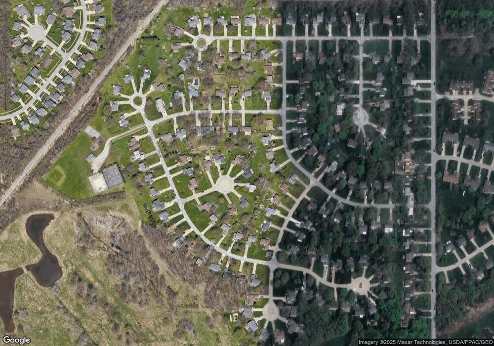
Map
Nearby Homes
- 1679 Duffton Ln
- 1719 Duffton Ln
- 751 Bacon Rd
- 1806 Muirfield Ln
- 1791 Muirfield Ln
- 1978 Marsh Ln Unit 1978
- 124 Kenilworth Ave
- 1865 Marsh Ln Unit 1865
- 720 N Creek Dr
- 634 N Creek Dr
- 960 Robinhood Ave
- 808 N Creek Dr
- 961 Beachfront Dr
- 547 Greenside Dr
- 1006 Robinhood Ave
- 499 Sand Trap Cir
- 988 Oakwood Blvd
- 0 Fremont Ave Unit 5152717
- 0 Bellevue Ave Unit 5152736
- 125 Sycamore Dr
- 1640 Buxton Cir
- 1641 Buxton Cir
- 1670 Sheffield Terrace
- 1660 Sheffield Terrace
- 1630 Buxton Cir
- 1631 Buxton Cir
- 791 Retford Pkwy
- 781 Retford Pkwy
- 1650 Wickham Place
- 1621 Buxton Cir
- 1644 Wickham Place
- 1620 Buxton Cir
- 1644
- 801 Retford Pkwy
- 771 Retford Pkwy
- 1636 Wickham Place
- 1640 Sheffield Terrace
- 761 Retford Pkwy
- 1630 Wickham Place
- 780 Lanark Ln