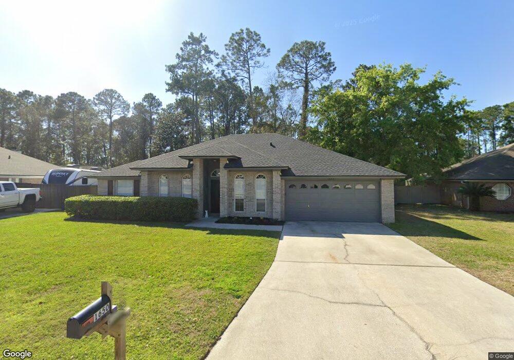
1650 Dockside Dr Fleming Island, FL 32003
Estimated Value: $350,000 - $426,000
3
Beds
2
Baths
2,144
Sq Ft
$179/Sq Ft
Est. Value
About This Home
This home is located at 1650 Dockside Dr, Fleming Island, FL 32003 and is currently estimated at $384,438, approximately $179 per square foot. 1650 Dockside Dr is a home located in Clay County with nearby schools including Robert M. Paterson Elementary School, Fleming Island High School, and Green Cove Springs Junior High School.
Ownership History
Date
Name
Owned For
Owner Type
Purchase Details
Closed on
Jan 25, 2022
Sold by
Brafford David W and Brafford Cheryl D
Bought by
Fkh Sfr Propco I Lp
Current Estimated Value
Purchase Details
Closed on
Sep 27, 2002
Sold by
Brafford Jeffery D and Brafford Kimberly D
Bought by
Brafford David W and Brafford Cheryl D
Home Financials for this Owner
Home Financials are based on the most recent Mortgage that was taken out on this home.
Original Mortgage
$131,600
Interest Rate
6.27%
Mortgage Type
Purchase Money Mortgage
Create a Home Valuation Report for This Property
The Home Valuation Report is an in-depth analysis detailing your home's value as well as a comparison with similar homes in the area
Home Values in the Area
Average Home Value in this Area
Purchase History
| Date | Buyer | Sale Price | Title Company |
|---|---|---|---|
| Fkh Sfr Propco I Lp | $355,000 | Boss Law Pllc | |
| Brafford David W | $164,500 | -- |
Source: Public Records
Mortgage History
| Date | Status | Borrower | Loan Amount |
|---|---|---|---|
| Previous Owner | Brafford David W | $131,600 |
Source: Public Records
Tax History
| Year | Tax Paid | Tax Assessment Tax Assessment Total Assessment is a certain percentage of the fair market value that is determined by local assessors to be the total taxable value of land and additions on the property. | Land | Improvement |
|---|---|---|---|---|
| 2025 | $5,024 | $352,750 | $55,000 | $297,750 |
| 2024 | $5,361 | $334,582 | $55,000 | $279,582 |
| 2023 | $5,361 | $331,698 | $55,000 | $276,698 |
| 2022 | $4,327 | $296,183 | $45,000 | $251,183 |
| 2021 | $3,794 | $228,941 | $35,000 | $193,941 |
| 2020 | $3,508 | $215,646 | $35,000 | $180,646 |
| 2019 | $3,346 | $202,724 | $35,000 | $167,724 |
| 2018 | $3,039 | $194,493 | $0 | $0 |
| 2017 | $2,993 | $187,816 | $0 | $0 |
| 2016 | $3,012 | $184,863 | $0 | $0 |
| 2015 | $2,959 | $176,049 | $0 | $0 |
| 2014 | $2,509 | $159,246 | $0 | $0 |
Source: Public Records
Map
Nearby Homes
- 1279 Pirates Cove Ln
- 1608 Dockside Dr
- 1028 Creighton Rd
- 1223 Stern Way
- 1301 Portside Dr
- 315 Scenic Point Ln
- 1507 Blue Heron Ct
- 1776 Cord Grass Ln
- 1532 Marsh Rabbit Way
- 2778 Holly Point Rd W
- 1316 Holmes Landing Dr
- 1317 S Shore Dr
- 1565 Royal Fern Ln
- 410 Lucys Ln
- 2522 Grasshopper Ln
- 1806 Royal Fern Ln
- 2528 Shalimar Ln
- 1420 Green Turtle Ct
- 4661 Raggedy Point Rd
- 2464 Hopkins St
- 1650 Dockside Dr
- 1646 Dockside Dr
- 1654 Dockside Dr
- 1643 Dockside Dr
- 1647 Dockside Dr
- 1548 Bay Breeze Ct
- 1658 Dockside Dr
- 1642 Dockside Dr
- 1639 Dockside Dr
- 1638 Dockside Dr
- 1662 Dockside Dr
- 1544 Bay Breeze Ct
- 1540 Bay Breeze Ct
- 1543 Bay Breeze Ct
- 1663 Dockside Dr
- 1668 Dockside Dr
- 1631 Dockside Dr
- 1667 Dockside Dr
- 1630 Dockside Dr
- 1672 Dockside Dr
Your Personal Tour Guide
Ask me questions while you tour the home.