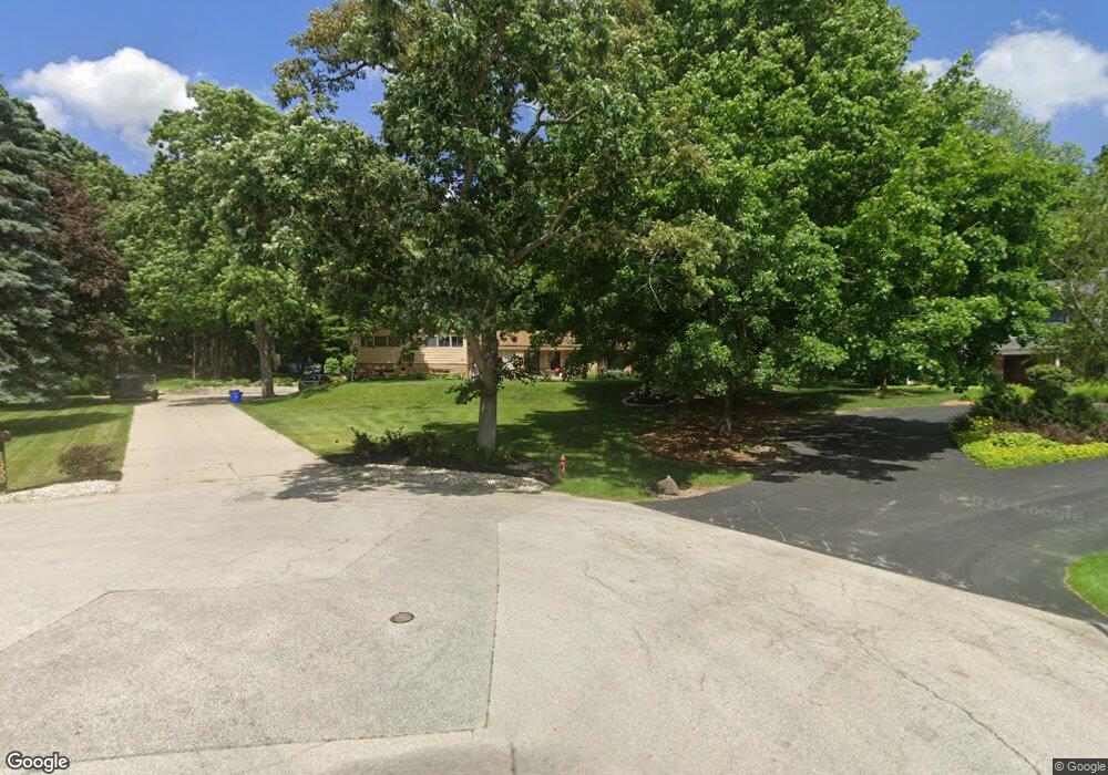
1650 Lindhurst Ct Elm Grove, WI 53122
Estimated Value: $704,661 - $827,000
4
Beds
1
Bath
2,590
Sq Ft
$295/Sq Ft
Est. Value
About This Home
This home is located at 1650 Lindhurst Ct, Elm Grove, WI 53122 and is currently estimated at $765,165, approximately $295 per square foot. 1650 Lindhurst Ct is a home located in Waukesha County with nearby schools including Tonawanda Elementary School, Pilgrim Park Middle School, and Brookfield East High School.
Ownership History
Date
Name
Owned For
Owner Type
Purchase Details
Closed on
Jun 7, 2002
Sold by
Stgeorge Debra
Bought by
Stgeorge Donald and Stgeorge Patricia
Current Estimated Value
Home Financials for this Owner
Home Financials are based on the most recent Mortgage that was taken out on this home.
Original Mortgage
$240,800
Interest Rate
9.1%
Mortgage Type
Purchase Money Mortgage
Create a Home Valuation Report for This Property
The Home Valuation Report is an in-depth analysis detailing your home's value as well as a comparison with similar homes in the area
Home Values in the Area
Average Home Value in this Area
Purchase History
| Date | Buyer | Sale Price | Title Company |
|---|---|---|---|
| Stgeorge Donald | $169,000 | -- |
Source: Public Records
Mortgage History
| Date | Status | Borrower | Loan Amount |
|---|---|---|---|
| Closed | Stgeorge Donald | $240,800 |
Source: Public Records
Tax History Compared to Growth
Tax History
| Year | Tax Paid | Tax Assessment Tax Assessment Total Assessment is a certain percentage of the fair market value that is determined by local assessors to be the total taxable value of land and additions on the property. | Land | Improvement |
|---|---|---|---|---|
| 2024 | $7,286 | $544,300 | $192,200 | $352,100 |
| 2023 | $6,804 | $466,100 | $161,700 | $304,400 |
| 2022 | $7,135 | $466,100 | $161,700 | $304,400 |
| 2021 | $7,255 | $421,500 | $161,700 | $259,800 |
| 2020 | $7,502 | $421,500 | $161,700 | $259,800 |
| 2019 | $7,230 | $387,800 | $161,700 | $226,100 |
| 2018 | $6,869 | $387,800 | $161,700 | $226,100 |
| 2017 | $6,298 | $328,000 | $141,000 | $187,000 |
| 2016 | $6,241 | $328,000 | $141,000 | $187,000 |
| 2015 | $6,209 | $328,000 | $141,000 | $187,000 |
| 2014 | $5,738 | $335,600 | $135,000 | $200,600 |
| 2013 | $5,738 | $310,600 | $139,000 | $171,600 |
Source: Public Records
Map
Nearby Homes
- 1920 Fairhaven Blvd
- 14220 Hillside Rd
- 13130 Watertown Plank Rd Unit 312
- 12675 W North Ave
- 12855 Stephen Place
- 14625 Club Dr
- 1239 N 122nd St
- 2415 Walnut Grove Ct Unit B
- 13050 W Bluemound Rd Unit 303
- 13485 Braemar Dr
- 12990 W Bluemound Rd Unit 205
- 1409 N 116th St
- 12455 W Center St
- 11722 W Diane Dr
- 13145 Kittridge Ct
- 15260 Marilyn Dr
- 15305 Cascade Dr
- 540 Crystal Ln
- 1005 Lone Tree Rd
- 12207 W Bluemound Rd
- 13220 Caroline Ct
- 1640 Lindhurst Ct
- 13200 Caroline Ct
- 1710 Arrowhead Ct
- 1720 Arrowhead Ct
- 1670 Lindhurst Ct
- 1630 Lindhurst Ct
- 1740 Arrowhead Ct
- 13205 Caroline Ct
- 1700 Arrowhead Ct
- 13180 Caroline Ct
- 13330 Oakhurst Dr
- 13300 Oakhurst Dr
- 1680 Lindhurst Dr
- 1760 Arrowhead Ct
- 13185 Caroline Ct
- 13360 Oakhurst Dr
- 13240 Oakhurst Dr
- 1645 Lindhurst Dr
- 13245 Gremoor Dr