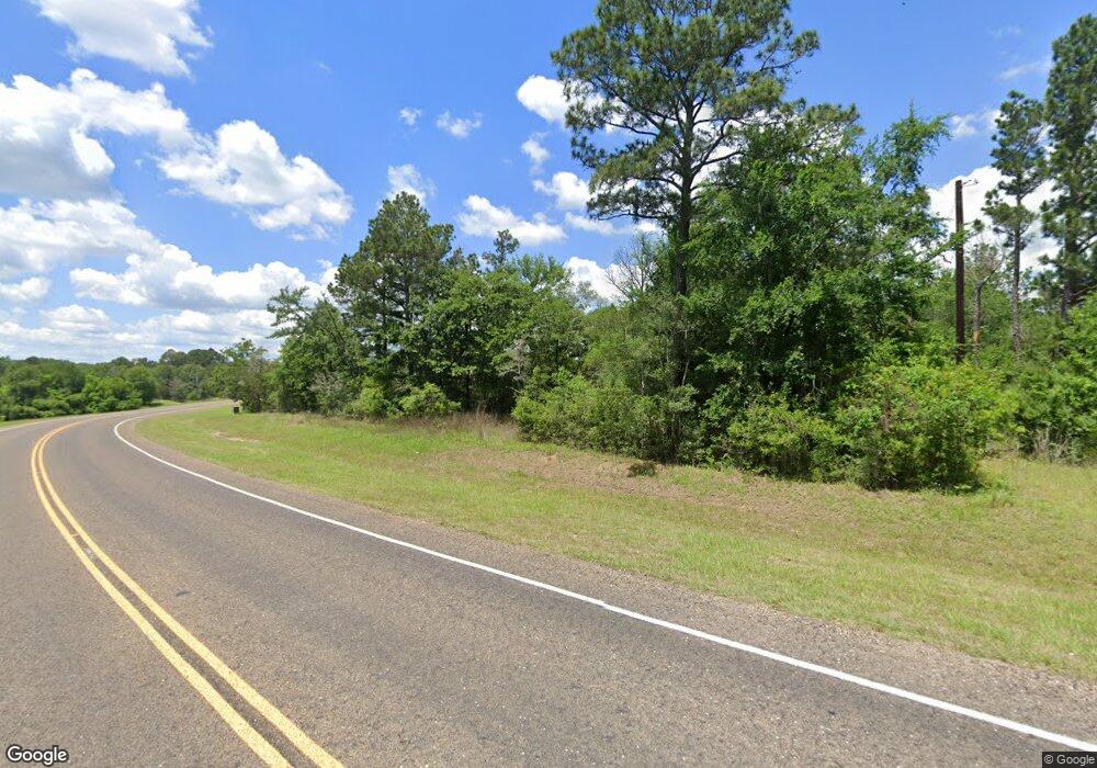
1650 Narrow Way Unit PVT College Station, TX 77845
Estimated Value: $285,000
--
Bed
--
Bath
736
Sq Ft
$387/Sq Ft
Est. Value
About This Home
This home is located at 1650 Narrow Way Unit PVT, College Station, TX 77845 and is currently estimated at $285,000, approximately $387 per square foot. 1650 Narrow Way Unit PVT is a home located in Brazos County with nearby schools including Forest Ridge Elementary School, Cypress Grove Intermediate School, and College Station Middle School.
Ownership History
Date
Name
Owned For
Owner Type
Purchase Details
Closed on
Aug 27, 2015
Sold by
Anderson Donald Gene and Anderson Roger Mark
Bought by
Smiling Mallard Development Ltd
Current Estimated Value
Home Financials for this Owner
Home Financials are based on the most recent Mortgage that was taken out on this home.
Original Mortgage
$600,000
Outstanding Balance
$474,612
Interest Rate
4.12%
Estimated Equity
-$189,612
Create a Home Valuation Report for This Property
The Home Valuation Report is an in-depth analysis detailing your home's value as well as a comparison with similar homes in the area
Home Values in the Area
Average Home Value in this Area
Purchase History
| Date | Buyer | Sale Price | Title Company |
|---|---|---|---|
| Smiling Mallard Development Ltd | -- | None Available |
Source: Public Records
Mortgage History
| Date | Status | Borrower | Loan Amount |
|---|---|---|---|
| Open | Smiling Mallard Development Ltd | $600,000 |
Source: Public Records
Tax History Compared to Growth
Tax History
| Year | Tax Paid | Tax Assessment Tax Assessment Total Assessment is a certain percentage of the fair market value that is determined by local assessors to be the total taxable value of land and additions on the property. | Land | Improvement |
|---|---|---|---|---|
| 2025 | $2,466 | $229,706 | $229,706 | -- |
| 2024 | $2,466 | $213,230 | $213,230 | -- |
| 2023 | $2,466 | $213,230 | $213,230 | $0 |
| 2022 | $3,160 | $193,845 | $193,845 | $0 |
| 2021 | $3,400 | $193,845 | $193,845 | $0 |
| 2020 | $3,424 | $193,845 | $193,845 | $0 |
| 2019 | $3,658 | $193,850 | $193,850 | $0 |
| 2018 | $5,064 | $264,710 | $207,270 | $57,440 |
| 2017 | $5,985 | $313,780 | $258,460 | $55,320 |
| 2016 | $4,159 | $218,080 | $163,670 | $54,410 |
| 2015 | $56 | $216,060 | $163,670 | $52,390 |
| 2014 | $56 | $234,660 | $183,530 | $51,130 |
Source: Public Records
Map
Nearby Homes
- 1486 Deer Park Dr
- 6109 Eldora Dr
- Alpine Plan at Southern Pointe
- 6101 Eldora Dr
- Roosevelt Plan at Southern Pointe
- 6111 Eldora Dr
- 6119 Eldora Dr
- Everett Plan at Southern Pointe
- 4322 Erika Ct
- Auburn Plan at Southern Pointe
- Richmond Plan at Southern Pointe
- Sonoma Plan at Southern Pointe
- Kiawa Plan at Southern Pointe
- Prescott Plan at Southern Pointe
- 6107 Eldora Dr
- Rosewood Plan at Southern Pointe
- Oleander Plan at Southern Pointe
- Palm Plan at Southern Pointe
- Mimosa Plan at Southern Pointe
- Hickory Plan at Southern Pointe
- 0000 Narrow Way
- 18428 State Highway 6 S
- 4012 Chaco Canyon Dr
- 1501 Narrow Way Unit PVT
- 4023 Chaco Canyon Dr
- 4001 Chaco Canyon Dr
- 17361 Halona Ct
- 1563 Deer Park Dr
- 17360 Halona Ct
- 17291 Catori Cove
- 17349 Halona Ct
- 17249 Catori Cove
- 17361 Makawee Ct
- 1575 Deer Park Dr
- 17348 Halona Ct
- 17337 Halona Ct
- 17349 Makawee Ct
- 17336 Halona Ct
- 17348 Makawee Ct
- 17250 Catori Cove
