1650 Palmer Ct Clarkston, WA 99403
Estimated Value: $657,000 - $797,000
4
Beds
3
Baths
2,964
Sq Ft
$249/Sq Ft
Est. Value
About This Home
This home is located at 1650 Palmer Ct, Clarkston, WA 99403 and is currently estimated at $739,179, approximately $249 per square foot. 1650 Palmer Ct is a home located in Asotin County with nearby schools including Asotin Elementary School and Asotin Junior/Senior High School.
Ownership History
Date
Name
Owned For
Owner Type
Purchase Details
Closed on
Jan 11, 2023
Sold by
James Ryan Joseph
Bought by
James Ryan Joseph and James Lynley Renee
Current Estimated Value
Purchase Details
Closed on
Sep 14, 2021
Sold by
James Lynley and James Ryan
Bought by
James Ryan
Purchase Details
Closed on
Sep 13, 2021
Sold by
Thayer Raymond J and Thayer Glenna C
Bought by
Jams Ryan
Purchase Details
Closed on
Mar 30, 2020
Sold by
James Ryan J and James Lynley
Bought by
Green Antler Properties Llc
Home Financials for this Owner
Home Financials are based on the most recent Mortgage that was taken out on this home.
Original Mortgage
$485,499
Interest Rate
3.5%
Mortgage Type
Construction
Purchase Details
Closed on
Jul 27, 2005
Sold by
Eaton Randall G and Eaton Jacqueline J
Bought by
Thayer Raymond J and Thayer Glenna C
Create a Home Valuation Report for This Property
The Home Valuation Report is an in-depth analysis detailing your home's value as well as a comparison with similar homes in the area
Home Values in the Area
Average Home Value in this Area
Purchase History
| Date | Buyer | Sale Price | Title Company |
|---|---|---|---|
| James Ryan Joseph | -- | Alliance Title | |
| James Ryan Joseph | -- | Alliance Title | |
| James Ryan | -- | Alliance Title Clarkston | |
| Jams Ryan | $54,900 | Alliance Title Clarkston | |
| Green Antler Properties Llc | -- | Alliance Title | |
| Thayer Raymond J | $45,000 | Alliance Title And Escrow Co |
Source: Public Records
Mortgage History
| Date | Status | Borrower | Loan Amount |
|---|---|---|---|
| Previous Owner | Green Antler Properties Llc | $485,499 |
Source: Public Records
Tax History Compared to Growth
Tax History
| Year | Tax Paid | Tax Assessment Tax Assessment Total Assessment is a certain percentage of the fair market value that is determined by local assessors to be the total taxable value of land and additions on the property. | Land | Improvement |
|---|---|---|---|---|
| 2025 | $5,624 | $512,500 | $49,700 | $462,800 |
| 2023 | $5,624 | $512,500 | $49,700 | $462,800 |
| 2022 | $581 | $49,700 | $49,700 | $0 |
| 2021 | $556 | $49,700 | $49,700 | $0 |
| 2020 | $566 | $49,700 | $49,700 | $0 |
| 2019 | $540 | $50,000 | $50,000 | $0 |
| 2018 | $649 | $50,000 | $50,000 | $0 |
| 2017 | $582 | $50,000 | $50,000 | $0 |
| 2016 | $0 | $50,000 | $50,000 | $0 |
| 2015 | $58 | $50,000 | $50,000 | $0 |
| 2013 | $590 | $50,000 | $50,000 | $0 |
Source: Public Records
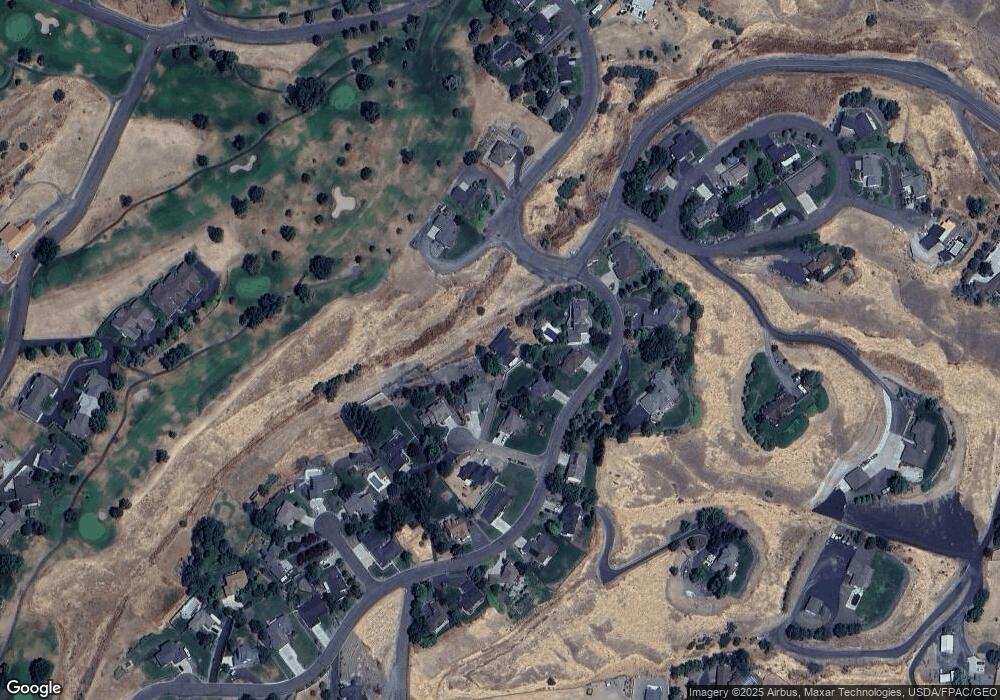
Map
Nearby Homes
- 3725 Nicklaus Dr
- 3775 Swallows Nest Ct
- 3733 and 3731 Swallows Nest Ct
- 1501 Arkenstone Court Lot 1
- 2127 Quailridge Ct
- 3560 Quailridge Dr
- 2274 Chukar Dr
- 2275 Chukar Dr
- 2285 Chukar Dr
- 2289 Chukar Dr
- 3305 Michael Dr
- 2242 Chukar Ln
- 3307 Michael Dr
- 2308 Chukar Ct
- 2662 S Slope Ln
- 1780 Cherry St
- 1771 River Canyon Dr
- 3315 Michael Dr
- 1785 River Canyon Dr
- 2047 10th Ave
- 3680 Nicklaus Dr
- 1660 Palmer Ct
- 3670 Nicklaus Dr
- 3660 Nicklaus Dr
- 1640 Palmer Ct
- 3640 Masters Dr
- 1645 Palmer Ct
- 3695 Nicklaus Dr
- 1665 Palmer Ct
- 3675 Nicklaus Dr
- 3700 Nicklaus Dr
- 3651 Nicklaus Dr
- 3634 Masters Dr
- 3655 Nicklaus Dr
- 3705 Nicklaus Dr
- 3628 Masters Dr
- 3715 Nicklaus Dr
- 1710 Norman Ct
- 1704 Swallows Crest Loop
- 1720 Norman Ct