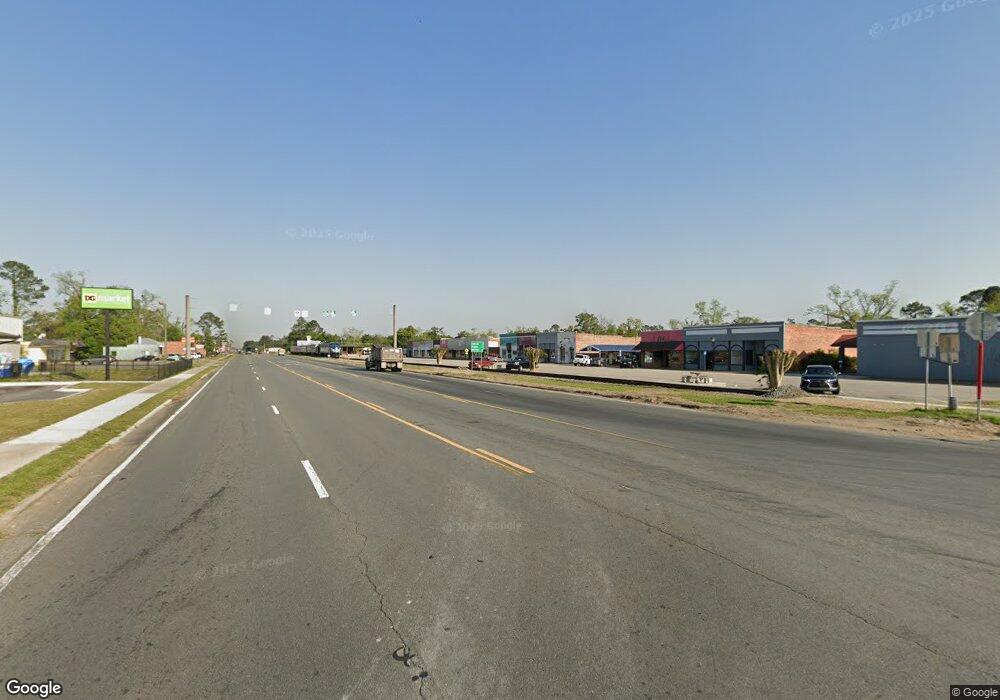
1650 Rr 2 Willacoochee, GA 31650
Estimated Value: $112,379 - $182,000
Studio
1
Bath
1,668
Sq Ft
$92/Sq Ft
Est. Value
About This Home
This home is located at 1650 Rr 2, Willacoochee, GA 31650 and is currently estimated at $152,845, approximately $91 per square foot. 1650 Rr 2 is a home located in Atkinson County with nearby schools including Willacoochee Elementary School, Pearson Elementary School, and Atkinson County High School.
Ownership History
Date
Name
Owned For
Owner Type
Purchase Details
Closed on
Nov 10, 2015
Sold by
Pettis Cynthia D
Bought by
Chaney Molly J
Current Estimated Value
Home Financials for this Owner
Home Financials are based on the most recent Mortgage that was taken out on this home.
Original Mortgage
$77,120
Outstanding Balance
$60,823
Interest Rate
3.87%
Mortgage Type
New Conventional
Estimated Equity
$92,022
Purchase Details
Closed on
Jul 18, 1994
Bought by
Pettis Cynthia D
Purchase Details
Closed on
Jul 19, 1993
Bought by
United Banking Co
Create a Home Valuation Report for This Property
The Home Valuation Report is an in-depth analysis detailing your home's value as well as a comparison with similar homes in the area
Purchase History
| Date | Buyer | Sale Price | Title Company |
|---|---|---|---|
| Chaney Molly J | $75,000 | -- | |
| Pettis Cynthia D | $38,000 | -- | |
| United Banking Co | -- | -- |
Source: Public Records
Mortgage History
| Date | Status | Borrower | Loan Amount |
|---|---|---|---|
| Open | Chaney Molly J | $77,120 |
Source: Public Records
Tax History
| Year | Tax Paid | Tax Assessment Tax Assessment Total Assessment is a certain percentage of the fair market value that is determined by local assessors to be the total taxable value of land and additions on the property. | Land | Improvement |
|---|---|---|---|---|
| 2024 | $767 | $25,071 | $2,599 | $22,472 |
| 2023 | $767 | $25,071 | $2,599 | $22,472 |
| 2022 | $763 | $25,071 | $2,599 | $22,472 |
| 2021 | $668 | $20,783 | $2,599 | $18,184 |
| 2020 | $668 | $20,783 | $2,599 | $18,184 |
| 2019 | $668 | $20,783 | $2,599 | $18,184 |
| 2018 | $672 | $20,783 | $2,599 | $18,184 |
| 2017 | $669 | $20,783 | $2,599 | $18,184 |
| 2016 | $669 | $20,783 | $2,599 | $18,184 |
| 2015 | -- | $20,783 | $2,599 | $18,184 |
| 2014 | -- | $20,783 | $2,599 | $18,184 |
Source: Public Records
Map
Nearby Homes
- 139 Moore St N
- 820 Main St W
- 609 Main St E
- 5390 Atkinson Blvd W
- 2000 Coochee Creek Rd
- Tbd Lazy Nine Rd
- 2450 Paradise Ln
- 674 Forest Hills Dr
- N/A Fernwood Dr
- 00 W Bay Meadows Dr
- 66 Beach St
- 2828 Baymeadows Dr W
- 21803 Main St
- 1574 Baymeadows Dr W
- 2987 Baymeadows Dr W
- 40 Pinedale Dr
- 358 Lakeside Cir
- 1325 Baymeadows Dr W
- 703 Woodlake Cir
- 380 Brookewood Dr
- 4330 Rr 2
- 4320 Rr 2
- 1630 Rr 2
- 85 Vickers St N
- 133 W Marshall Ave
- 153 W Marshall Ave
- 80 Peterson St S
- 115 Vickers St N
- 126 Main St W
- 127 Vickers St N
- 41 Paulk Ave W
- 167 Marshall Ave W
- 139 Vickers St N
- 21 Paulk Ave W
- 166 Marshall Ave W
- 133 Atlantic Ave W
- 155 Atlantic Ave W
- 188 Main St
- 52 Baker St
- 90 Baker St
