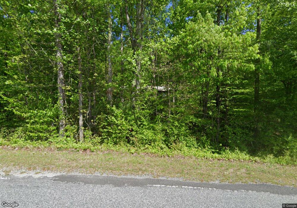
1650 Whiteside Rd Mill Spring, NC 28756
Estimated Value: $243,000 - $490,000
3
Beds
1
Bath
--
Sq Ft
7.15
Acres
About This Home
This home is located at 1650 Whiteside Rd, Mill Spring, NC 28756 and is currently estimated at $311,612. 1650 Whiteside Rd is a home located in Polk County.
Ownership History
Date
Name
Owned For
Owner Type
Purchase Details
Closed on
Aug 27, 2024
Sold by
Pritchard Billy D and Pritchard Carol B
Bought by
Pritchard William D
Current Estimated Value
Purchase Details
Closed on
May 18, 2022
Sold by
Dawson Iii Amos C and Dawson Gail E
Bought by
Berghauser Llc
Purchase Details
Closed on
Oct 18, 1999
Bought by
Pritchard Billy D
Purchase Details
Closed on
Dec 31, 1997
Bought by
Pritchard Billy D
Create a Home Valuation Report for This Property
The Home Valuation Report is an in-depth analysis detailing your home's value as well as a comparison with similar homes in the area
Home Values in the Area
Average Home Value in this Area
Purchase History
| Date | Buyer | Sale Price | Title Company |
|---|---|---|---|
| Pritchard William D | -- | None Listed On Document | |
| Berghauser Llc | $850,000 | Goosmann Rose Colvard & Cramer | |
| Pritchard Billy D | $75,000 | -- | |
| Pritchard Billy D | -- | -- |
Source: Public Records
Tax History Compared to Growth
Tax History
| Year | Tax Paid | Tax Assessment Tax Assessment Total Assessment is a certain percentage of the fair market value that is determined by local assessors to be the total taxable value of land and additions on the property. | Land | Improvement |
|---|---|---|---|---|
| 2025 | $865 | $169,511 | $86,887 | $82,624 |
| 2024 | $779 | $121,742 | $61,550 | $60,192 |
| 2023 | $779 | $121,742 | $61,550 | $60,192 |
| 2022 | $753 | $121,742 | $61,550 | $60,192 |
| 2021 | $788 | $127,742 | $61,550 | $66,192 |
| 2020 | $761 | $115,136 | $49,240 | $65,896 |
| 2019 | $761 | $115,136 | $49,240 | $65,896 |
| 2018 | $738 | $115,136 | $49,240 | $65,896 |
| 2017 | $721 | $115,855 | $58,085 | $57,770 |
| 2016 | $724 | $115,855 | $58,085 | $57,770 |
| 2015 | $686 | $0 | $0 | $0 |
| 2014 | $686 | $0 | $0 | $0 |
| 2013 | -- | $0 | $0 | $0 |
Source: Public Records
Map
Nearby Homes
- TBD Pea Ridge Rd
- 00 Saddleside Dr
- Lot 20 A R Thompson Rd Unit 20
- 00 A R Thompson Rd
- 00000 A R Thompson Rd Unit 27
- Lot 20 A R Thompson Rd
- 78 Buck Branch Rd
- 260 Buck Branch Rd
- 0 E Nc Hwy 108 None Unit Lot 55
- 1888 Pea Ridge Rd
- 0 Big Level Rd Unit CAR4267320
- 1178 Pea Ridge Rd
- 0 Mountain Pkwy Unit Lot 29
- 6 Rachel Bell Rd
- TBD Shady Ln
- 1642 Smith Waldrop Rd
- 10105 N Carolina 108
- 0 Quail Ridge Rd Unit 214 CAR4265619
- 99999 Abrams & Moore Rd
- 940 Hugh Champion Rd
- 870 Hoot Owl Ln
- 1882 Whiteside Rd
- 1863 Whiteside Rd
- 1863 Whiteside Rd
- 1929 Whiteside Rd
- 1100 Pea Ridge Rd
- 824 Pea Ridge Rd
- 951 Pea Ridge Rd
- 624 Pea Ridge Rd
- 1975 Whiteside Rd
- 827 Pea Ridge Rd
- 154 Saddleside Dr
- 733 Pea Ridge Rd
- 767 Pea Ridge Rd
- 95 Horse Path Dr
- TBD A R Thompson Rd Unit Lot 10
- Lot 17.1 Saddleside Dr
- 126 Horse Path Dr
- Lot 8.2 Whiteside Rd
- Lot 8 Whiteside Rd
