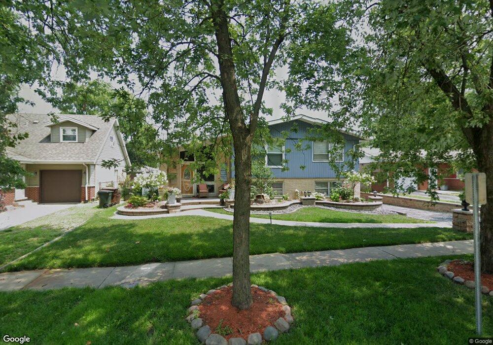
16501 Brenden Ln Oak Forest, IL 60452
Estimated Value: $288,000 - $322,182
5
Beds
2
Baths
2,000
Sq Ft
$153/Sq Ft
Est. Value
About This Home
This home is located at 16501 Brenden Ln, Oak Forest, IL 60452 and is currently estimated at $305,046, approximately $152 per square foot. 16501 Brenden Ln is a home located in Cook County with nearby schools including Fieldcrest Elementary School, Prairie-Hills Junior High School, and Tinley Park High School.
Ownership History
Date
Name
Owned For
Owner Type
Purchase Details
Closed on
May 5, 2017
Sold by
Mueller Nelia
Bought by
Paredes Elizabeth
Current Estimated Value
Home Financials for this Owner
Home Financials are based on the most recent Mortgage that was taken out on this home.
Original Mortgage
$160,050
Outstanding Balance
$134,535
Interest Rate
4.5%
Mortgage Type
New Conventional
Estimated Equity
$170,511
Purchase Details
Closed on
May 31, 2006
Sold by
Sampang Alfredo C and Sampang Flora L
Bought by
Royalcrest Llc
Create a Home Valuation Report for This Property
The Home Valuation Report is an in-depth analysis detailing your home's value as well as a comparison with similar homes in the area
Home Values in the Area
Average Home Value in this Area
Purchase History
| Date | Buyer | Sale Price | Title Company |
|---|---|---|---|
| Paredes Elizabeth | $165,000 | First American Title Insuran | |
| Royalcrest Llc | -- | None Available |
Source: Public Records
Mortgage History
| Date | Status | Borrower | Loan Amount |
|---|---|---|---|
| Open | Paredes Elizabeth | $160,050 |
Source: Public Records
Tax History Compared to Growth
Tax History
| Year | Tax Paid | Tax Assessment Tax Assessment Total Assessment is a certain percentage of the fair market value that is determined by local assessors to be the total taxable value of land and additions on the property. | Land | Improvement |
|---|---|---|---|---|
| 2024 | $8,663 | $23,000 | $2,970 | $20,030 |
| 2023 | $8,307 | $23,000 | $2,970 | $20,030 |
| 2022 | $8,307 | $16,312 | $2,640 | $13,672 |
| 2021 | $8,049 | $16,311 | $2,640 | $13,671 |
| 2020 | $7,890 | $16,311 | $2,640 | $13,671 |
| 2019 | $7,832 | $16,206 | $2,475 | $13,731 |
| 2018 | $7,692 | $16,206 | $2,475 | $13,731 |
| 2017 | $7,350 | $16,206 | $2,475 | $13,731 |
| 2016 | $6,644 | $14,190 | $2,145 | $12,045 |
| 2015 | $6,356 | $14,190 | $2,145 | $12,045 |
| 2014 | $6,210 | $14,190 | $2,145 | $12,045 |
| 2013 | $5,684 | $14,713 | $2,145 | $12,568 |
Source: Public Records
Map
Nearby Homes
- 16465 Roy St
- 4335 Mann St
- 16524 Brockton Ln
- 4348 Mann St
- 16409 Craig Dr
- 4316 Mann St
- 4363 Henry St
- 4230 Barry Ln
- 16224 S Cicero Ave
- 16100 Cicero Ave
- 16740 Forest Ave
- 16104 Oak Ave
- 16934 Cicero Ave
- 3949 168th St
- 15240 S Cicero Ave
- 3830 167th Place
- 3936 169th St
- 5112 Deerpath Rd Unit 4
- 3907 168th Place
- 3737 Rose Manor Terrace
- 16497 Brenden Ln
- 16505 Brenden Ln
- 16493 Brenden Ln
- 16500 Brockton Ln
- 16496 Brockton Ln
- 16509 Brenden Ln
- 16504 Brockton Ln
- 16489 Brenden Ln
- 16500 Brenden Ln
- 16513 Brenden Ln
- 16488 Brockton Ln
- 16496 Brenden Ln
- 16508 Brockton Ln
- 16504 Brenden Ln
- 16492 Brenden Ln
- 16485 Brenden Ln Unit 255
- 16517 Brenden Ln
- 16508 Brenden Ln
- 16484 Brockton Ln
- 16512 Brockton Ln