1651 Belfast Rd Sparks Glencoe, MD 21152
Oregon Ridge NeighborhoodEstimated Value: $861,831 - $1,623,000
--
Bed
2
Baths
3,832
Sq Ft
$324/Sq Ft
Est. Value
About This Home
This home is located at 1651 Belfast Rd, Sparks Glencoe, MD 21152 and is currently estimated at $1,242,416, approximately $324 per square foot. 1651 Belfast Rd is a home located in Baltimore County with nearby schools including Sparks Elementary School, Hereford Middle School, and Hereford High School.
Ownership History
Date
Name
Owned For
Owner Type
Purchase Details
Closed on
Jan 18, 2013
Sold by
Ramberg Walter Dodd and Ramberg Seska P
Bought by
Ramberg Walter Dodd
Current Estimated Value
Home Financials for this Owner
Home Financials are based on the most recent Mortgage that was taken out on this home.
Original Mortgage
$180,750
Outstanding Balance
$125,911
Interest Rate
3.41%
Mortgage Type
New Conventional
Estimated Equity
$1,116,505
Purchase Details
Closed on
May 23, 2003
Sold by
Ramberg Walter Dodd
Bought by
Ramberg Walter Dodd and Ramberg Seska P
Create a Home Valuation Report for This Property
The Home Valuation Report is an in-depth analysis detailing your home's value as well as a comparison with similar homes in the area
Home Values in the Area
Average Home Value in this Area
Purchase History
| Date | Buyer | Sale Price | Title Company |
|---|---|---|---|
| Ramberg Walter Dodd | -- | Supreme Title Company | |
| Ramberg Walter Dodd | -- | -- |
Source: Public Records
Mortgage History
| Date | Status | Borrower | Loan Amount |
|---|---|---|---|
| Open | Ramberg Walter Dodd | $180,750 |
Source: Public Records
Tax History Compared to Growth
Tax History
| Year | Tax Paid | Tax Assessment Tax Assessment Total Assessment is a certain percentage of the fair market value that is determined by local assessors to be the total taxable value of land and additions on the property. | Land | Improvement |
|---|---|---|---|---|
| 2025 | $5,163 | $457,700 | $176,500 | $281,200 |
| 2024 | $5,163 | $436,667 | $0 | $0 |
| 2023 | $2,490 | $415,633 | $0 | $0 |
| 2022 | $4,443 | $394,600 | $176,500 | $218,100 |
| 2021 | $4,338 | $380,900 | $0 | $0 |
| 2020 | $4,450 | $367,200 | $0 | $0 |
| 2019 | $4,284 | $353,500 | $176,500 | $177,000 |
| 2018 | $4,264 | $350,000 | $0 | $0 |
| 2017 | $4,101 | $346,500 | $0 | $0 |
| 2016 | $3,385 | $343,000 | $0 | $0 |
| 2015 | $3,385 | $336,067 | $0 | $0 |
| 2014 | $3,385 | $329,133 | $0 | $0 |
Source: Public Records
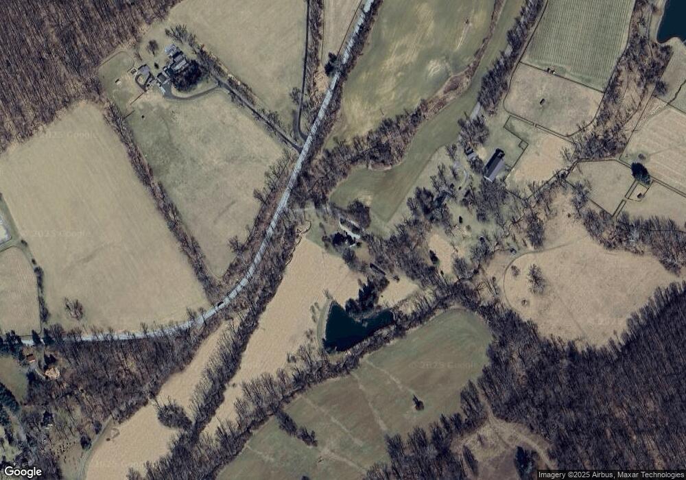
Map
Nearby Homes
- 15651 Duncan Hill Rd
- 14921 Tanyard Rd
- 1211 Belfast Rd
- 2105 Stringtown Rd
- 1646 Worthington Heights Pkwy
- 1642 Worthington Heights Pkwy
- 1630 Worthington Heights Pkwy
- 14516 Cuba Rd
- 1016 Cold Bottom Rd
- 0 Falls Rd Unit MDBC2120964
- 16418 Cedar Grove Rd
- 2310 Gadd Rd
- 927 Western Rd
- 14323 ROAD Cuba Rd
- 14213 Greencroft Ln
- 14498 Western Rd Unit 2
- 14498 Western Rd
- 0 Cuba Rd Unit MDBC2146194
- 14490 Western Rd
- 14490 Western Rd Unit 2
- 1649 Belfast Rd
- 1715 Belfast Rd
- 1640 Belfast Rd
- 1717 Belfast Rd
- 1721 Belfast Rd
- 1634 Belfast Rd
- 1803 Belfast Rd
- 1711 Belfast Rd
- 1808 Belfast Rd
- 1805 Belfast Rd
- 1538 Belfast Rd
- 15112 Tanyard Rd
- 15130 Tanyard Rd
- 15120 Tanyard Rd
- 15404 Tanyard Rd
- 15110 Tanyard Rd
- 1901 Belfast Rd
- 15215 Tanyard Rd
- 15135 Tanyard Rd
- 15123 Tanyard Rd