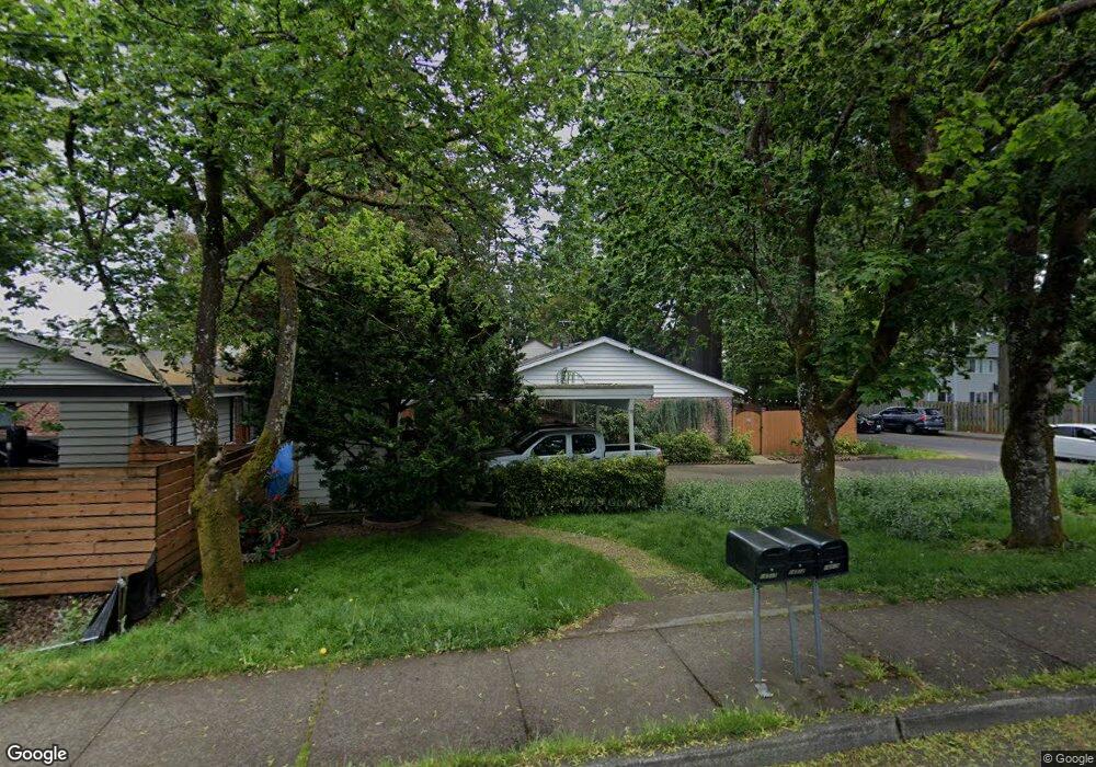
16510 E Burnside St Unit 16512 Portland, OR 97233
Rockwood NeighborhoodEstimated Value: $423,178 - $457,000
4
Beds
2
Baths
1,800
Sq Ft
$247/Sq Ft
Est. Value
About This Home
This home is located at 16510 E Burnside St Unit 16512, Portland, OR 97233 and is currently estimated at $444,045, approximately $246 per square foot. 16510 E Burnside St Unit 16512 is a home located in Multnomah County with nearby schools including Alder Elementary School, Hauton B Lee Middle School, and Reynolds High School.
Ownership History
Date
Name
Owned For
Owner Type
Purchase Details
Closed on
Jan 26, 2006
Sold by
Fitzpatrick Mathew J and Fitzpatrick Valentina P
Bought by
Fitzpatrick Mathew J and Fitzpatrick Valentina P
Current Estimated Value
Purchase Details
Closed on
Aug 16, 2000
Sold by
Lunday Joseph H
Bought by
Fitzpatrick Matthew J and Korchak Valentina P
Home Financials for this Owner
Home Financials are based on the most recent Mortgage that was taken out on this home.
Original Mortgage
$121,500
Outstanding Balance
$43,868
Interest Rate
8.16%
Mortgage Type
Purchase Money Mortgage
Estimated Equity
$400,177
Purchase Details
Closed on
Jan 6, 1996
Sold by
Parten Wanda L
Bought by
Lunday Joseph H and Lunday Linda D
Home Financials for this Owner
Home Financials are based on the most recent Mortgage that was taken out on this home.
Original Mortgage
$98,950
Interest Rate
7.38%
Mortgage Type
Purchase Money Mortgage
Create a Home Valuation Report for This Property
The Home Valuation Report is an in-depth analysis detailing your home's value as well as a comparison with similar homes in the area
Home Values in the Area
Average Home Value in this Area
Purchase History
| Date | Buyer | Sale Price | Title Company |
|---|---|---|---|
| Fitzpatrick Mathew J | -- | First American | |
| Fitzpatrick Matthew J | $135,000 | Pacific Nw Title | |
| Lunday Joseph H | $123,700 | First American Title Ins Co |
Source: Public Records
Mortgage History
| Date | Status | Borrower | Loan Amount |
|---|---|---|---|
| Open | Fitzpatrick Matthew J | $121,500 | |
| Previous Owner | Lunday Joseph H | $98,950 |
Source: Public Records
Tax History Compared to Growth
Tax History
| Year | Tax Paid | Tax Assessment Tax Assessment Total Assessment is a certain percentage of the fair market value that is determined by local assessors to be the total taxable value of land and additions on the property. | Land | Improvement |
|---|---|---|---|---|
| 2024 | $3,922 | $209,710 | -- | -- |
| 2023 | $3,549 | $203,610 | $0 | $0 |
| 2022 | $3,461 | $197,680 | $0 | $0 |
| 2021 | $3,376 | $191,930 | $0 | $0 |
| 2020 | $3,158 | $186,340 | $0 | $0 |
| 2019 | $3,027 | $180,920 | $0 | $0 |
| 2018 | $2,997 | $175,660 | $0 | $0 |
| 2017 | $2,900 | $170,550 | $0 | $0 |
| 2016 | $2,774 | $165,590 | $0 | $0 |
| 2015 | $2,694 | $160,770 | $0 | $0 |
| 2014 | $2,603 | $156,090 | $0 | $0 |
Source: Public Records
Map
Nearby Homes
- 16646 SE Ankeny St
- 16715 E Burnside St
- 165 NE 167th Place
- 202 NE 162nd Ave
- 275 SE 162nd Ave Unit 309
- 281 SE 162nd Ave Unit 105
- 16515 NE Everett Ct
- 61 SE 171st Ave
- 20 SE 172nd Ave Unit 118
- 17310 E Burnside St
- 16230 NE Hoyt St
- 15725 SE Stark St
- 15645 E Burnside St Unit 15647
- 226 NE 157th Ave
- 707 SE 160th Ave
- 16317 SE Salmon St Unit B
- 15590 E Burnside St
- 15557 E Burnside St
- 401 NE 157th Ave
- 236 NE 156th Ave Unit A & B
- 16520 E Burnside St
- 52 SE 165th Ave
- 68 SE 165th Ave
- 36 SE 165th Ave
- 16536 E Burnside St
- 16516 E Burnside St Unit 16536
- 84 SE 165th Ave
- 16519 E Burnside St
- 16602 E Burnside St
- 16600 E Burnside St Unit 16602
- 101 SE 165th Ave
- 16535 E Burnside St
- 16601 SE Ankeny St
- 105 SE 165th Ave
- 16530 SE Ankeny St
- 22 NE 165th Ave
- 127 SE 165th Ave
- 16545 E Burnside St
- 109 SE 165th Ave
- 16622 E Burnside St