16511 Railroad Way Snohomish, WA 98296
Cathcart NeighborhoodEstimated Value: $862,000 - $1,098,000
2
Beds
2
Baths
1,440
Sq Ft
$702/Sq Ft
Est. Value
About This Home
This home is located at 16511 Railroad Way, Snohomish, WA 98296 and is currently estimated at $1,010,451, approximately $701 per square foot. 16511 Railroad Way is a home located in Snohomish County with nearby schools including Cathcart Elementary School, Valley View Middle School, and Glacier Peak High School.
Ownership History
Date
Name
Owned For
Owner Type
Purchase Details
Closed on
Dec 20, 2013
Sold by
Awe Tammy Marie
Bought by
Awe William Christopher
Current Estimated Value
Purchase Details
Closed on
Nov 9, 1993
Sold by
Renfro Alfred P and Renfro Audrey D
Bought by
Awe William C and Case Tammy M
Home Financials for this Owner
Home Financials are based on the most recent Mortgage that was taken out on this home.
Original Mortgage
$144,000
Interest Rate
6.91%
Create a Home Valuation Report for This Property
The Home Valuation Report is an in-depth analysis detailing your home's value as well as a comparison with similar homes in the area
Home Values in the Area
Average Home Value in this Area
Purchase History
| Date | Buyer | Sale Price | Title Company |
|---|---|---|---|
| Awe William Christopher | -- | None Available | |
| Awe William C | $180,000 | -- |
Source: Public Records
Mortgage History
| Date | Status | Borrower | Loan Amount |
|---|---|---|---|
| Closed | Awe William C | $144,000 |
Source: Public Records
Tax History Compared to Growth
Tax History
| Year | Tax Paid | Tax Assessment Tax Assessment Total Assessment is a certain percentage of the fair market value that is determined by local assessors to be the total taxable value of land and additions on the property. | Land | Improvement |
|---|---|---|---|---|
| 2025 | $9,142 | $933,700 | $659,100 | $274,600 |
| 2024 | $9,142 | $908,900 | $643,000 | $265,900 |
| 2023 | $9,466 | $1,049,200 | $745,900 | $303,300 |
| 2022 | $8,570 | $761,600 | $504,400 | $257,200 |
| 2020 | $7,287 | $611,700 | $385,500 | $226,200 |
| 2019 | $6,869 | $569,800 | $348,800 | $221,000 |
| 2018 | $7,414 | $511,500 | $312,300 | $199,200 |
| 2017 | $6,046 | $427,100 | $252,500 | $174,600 |
| 2016 | $6,038 | $411,600 | $247,400 | $164,200 |
| 2015 | $5,728 | $374,700 | $226,400 | $148,300 |
| 2013 | $4,732 | $297,100 | $184,600 | $112,500 |
Source: Public Records
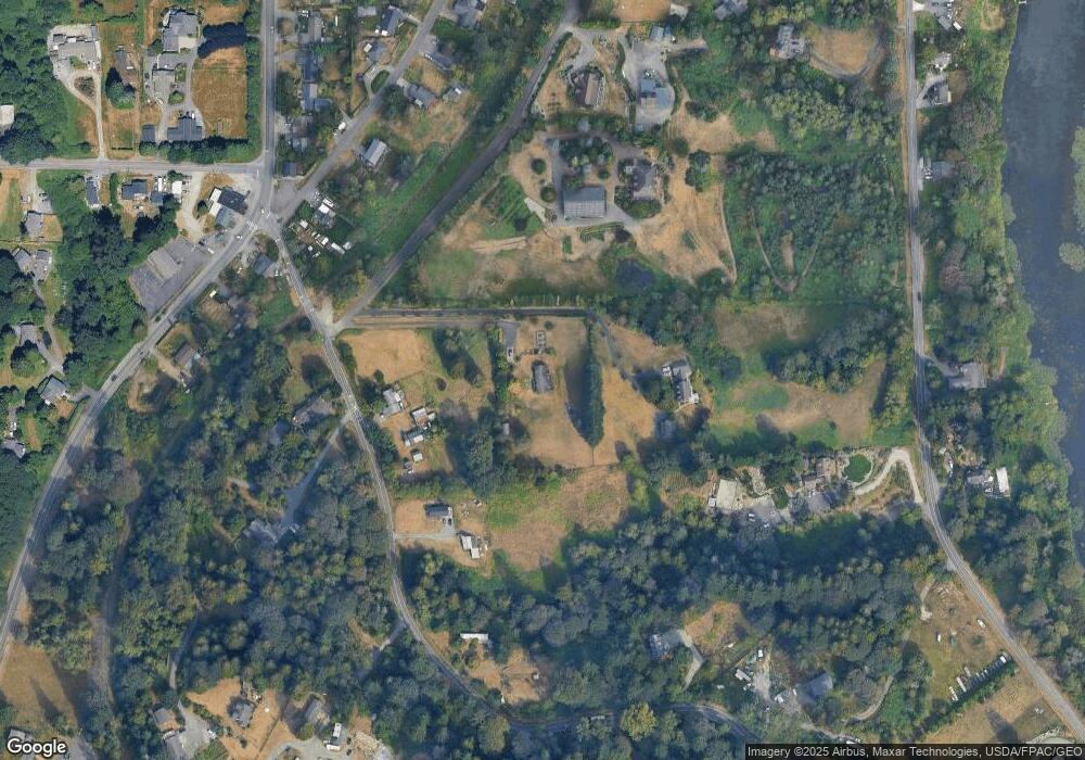
Map
Nearby Homes
- 10101 Elliott Rd
- 16425 Broadway Ave
- 16106 Broadway Ave
- 16012 Market St
- 9731 170th St SE
- 16714 Broadway Ave
- 0 172nd St SE
- 15421 State St
- 8815 164th St SE
- 16031 State Route 9 SE
- 18132 Waverly Dr
- 8109 130th Place SE Unit 59
- Residence 3056 Plan at Brasswood
- Residence 3053 Plan at Brasswood
- Residence 3052 Plan at Brasswood
- Residence 3560 Plan at Brasswood
- Residence 3006 Plan at Brasswood
- Residence 3005 Plan at Brasswood
- 17410 87th Ave SE Unit 29
- 17720 87th Ave SE
- 16503 Railroad Way
- 16522 Connelly Rd
- 9921 Elliott Rd
- 16315 Railroad Way
- 9906 Elliott Rd
- 16407 Market St
- 16419 Market St
- 16317 Market St
- 10225 Elliott Rd
- 9910 Elliott Rd
- 16602 Connelly Rd
- 16421 Broadway Ave
- 16509 Broadway Ave
- 16315 Market St
- 16403 Broadway Ave
- 16327 Broadway Ave
- 16323 Broadway Ave
- 16513 Broadway Ave
- 0 Market St Unit NWM2004612
- 0 Market St