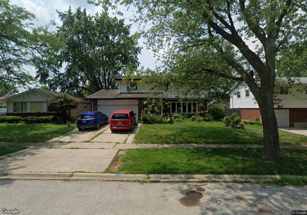
16512 Brenden Ln Oak Forest, IL 60452
Estimated Value: $291,285 - $306,000
4
Beds
4
Baths
1,625
Sq Ft
$184/Sq Ft
Est. Value
About This Home
This home is located at 16512 Brenden Ln, Oak Forest, IL 60452 and is currently estimated at $298,821, approximately $183 per square foot. 16512 Brenden Ln is a home located in Cook County with nearby schools including Fieldcrest Elementary School, Prairie-Hills Junior High School, and Tinley Park High School.
Ownership History
Date
Name
Owned For
Owner Type
Purchase Details
Closed on
Aug 2, 1999
Sold by
Johnson John H and Vandercar Theresa J
Bought by
Nowlan Dennis G and Nowlan Wanda K
Current Estimated Value
Home Financials for this Owner
Home Financials are based on the most recent Mortgage that was taken out on this home.
Original Mortgage
$144,950
Outstanding Balance
$41,816
Interest Rate
7.7%
Mortgage Type
FHA
Estimated Equity
$257,005
Purchase Details
Closed on
Feb 21, 1994
Sold by
Johnson John H
Bought by
Johnson John H and Vandercar Theresa J
Create a Home Valuation Report for This Property
The Home Valuation Report is an in-depth analysis detailing your home's value as well as a comparison with similar homes in the area
Home Values in the Area
Average Home Value in this Area
Purchase History
| Date | Buyer | Sale Price | Title Company |
|---|---|---|---|
| Nowlan Dennis G | $146,000 | Professional National Title | |
| Johnson John H | -- | -- |
Source: Public Records
Mortgage History
| Date | Status | Borrower | Loan Amount |
|---|---|---|---|
| Open | Nowlan Dennis G | $144,950 |
Source: Public Records
Tax History Compared to Growth
Tax History
| Year | Tax Paid | Tax Assessment Tax Assessment Total Assessment is a certain percentage of the fair market value that is determined by local assessors to be the total taxable value of land and additions on the property. | Land | Improvement |
|---|---|---|---|---|
| 2024 | $7,037 | $22,001 | $3,119 | $18,882 |
| 2023 | $8,783 | $22,001 | $3,119 | $18,882 |
| 2022 | $8,783 | $20,666 | $2,772 | $17,894 |
| 2021 | $8,555 | $20,666 | $2,772 | $17,894 |
| 2020 | $8,496 | $20,666 | $2,772 | $17,894 |
| 2019 | $7,313 | $18,562 | $2,598 | $15,964 |
| 2018 | $7,179 | $18,562 | $2,598 | $15,964 |
| 2017 | $6,888 | $18,562 | $2,598 | $15,964 |
| 2016 | $6,140 | $15,610 | $2,252 | $13,358 |
| 2015 | $5,817 | $15,610 | $2,252 | $13,358 |
| 2014 | $5,707 | $15,610 | $2,252 | $13,358 |
| 2013 | $5,108 | $15,851 | $2,252 | $13,599 |
Source: Public Records
Map
Nearby Homes
- 16524 Brockton Ln
- 16465 Roy St
- 4230 Barry Ln
- 4348 Mann St
- 4316 Mann St
- 16409 Craig Dr
- 4363 Henry St
- 16224 S Cicero Ave
- 16740 Forest Ave
- 16934 Cicero Ave
- 3949 168th St
- 16100 Cicero Ave
- 3936 169th St
- 3830 167th Place
- 16104 Oak Ave
- 3907 168th Place
- 16928 Old Elm Dr
- 3806 168th St
- 5112 Deerpath Rd Unit 4
- 3801 167th Place
- 16516 Brenden Ln
- 16508 Brenden Ln
- 16513 Craig Dr
- 16509 Craig Dr
- 16520 Brenden Ln
- 16504 Brenden Ln
- 16515 Craig Dr
- 16507 Craig Dr
- 16517 Craig Dr
- 16517 Brenden Ln
- 16513 Brenden Ln
- 16521 Brenden Ln
- 16524 Brenden Ln
- 16500 Brenden Ln
- 16509 Brenden Ln
- 16525 Brenden Ln
- 16521 Craig Dr
- 16501 Craig Dr
- 16505 Brenden Ln
- 16528 Brenden Ln